

Mehr zum Buch
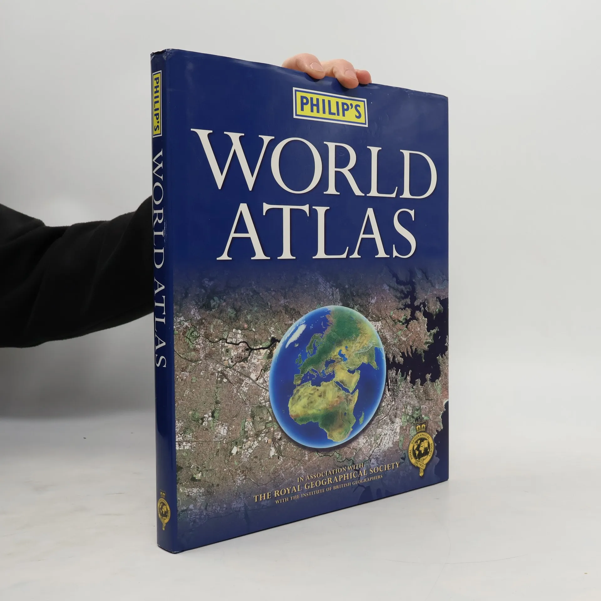
"Philip's World Atlas" is designed as a family atlas, suitable for junior and lower secondary school work, with a 32-page illustrated thematic section providing information on topics such as the Solar System, the structure of the Earth, climate and weather, the environment, population, resources, economics, politics and many others. This atlas also includes a special "World Cities" section, which provides urban area and city centre maps marking tourist sites for 67 of the world's most important cities, backed up by a comprehensive index. Full-page satellite images for 9 of the cities featured complete this section. The 96 pages of physical and political maps aim to give a balanced coverage of the world. Each map is accompanied by a locator diagram and adjoining pages indicator. The 35,000-name index includes geographical features as well as towns and cities, with both letter-figure grid references and latitude and longitude co-ordinates.
Buchkauf
Philip's World Atlas, George Philip, The Royal Geographical Society, Royal Geographical Society (with The Institute of British Geographers)
- Sprache

- Erscheinungsdatum
- 2002
- Einband
- (Hardcover)
Keiner hat bisher bewertet.
- Titel
- Philip's World Atlas
- Sprache
- Englisch
- Autor*innen
- George Philip, The Royal Geographical Society, Royal Geographical Society (with The Institute of British Geographers)
- Verlag
- Philip's
- Erscheinungsdatum
- 2002
- Einband
- Hardcover
- Seitenzahl
- 264
- ISBN10
- 054008235X
- ISBN13
- 9780540082353
- Reihe
- Schlagwörter
- Reisen, Handbücher und Anleitungen, Atlasse, Weltatlasse
- Beschreibung
- "Philip's World Atlas" is designed as a family atlas, suitable for junior and lower secondary school work, with a 32-page illustrated thematic section providing information on topics such as the Solar System, the structure of the Earth, climate and weather, the environment, population, resources, economics, politics and many others. This atlas also includes a special "World Cities" section, which provides urban area and city centre maps marking tourist sites for 67 of the world's most important cities, backed up by a comprehensive index. Full-page satellite images for 9 of the cities featured complete this section. The 96 pages of physical and political maps aim to give a balanced coverage of the world. Each map is accompanied by a locator diagram and adjoining pages indicator. The 35,000-name index includes geographical features as well as towns and cities, with both letter-figure grid references and latitude and longitude co-ordinates.