

Wir senden dir das abgebildete Buch
Mehr zum Buch
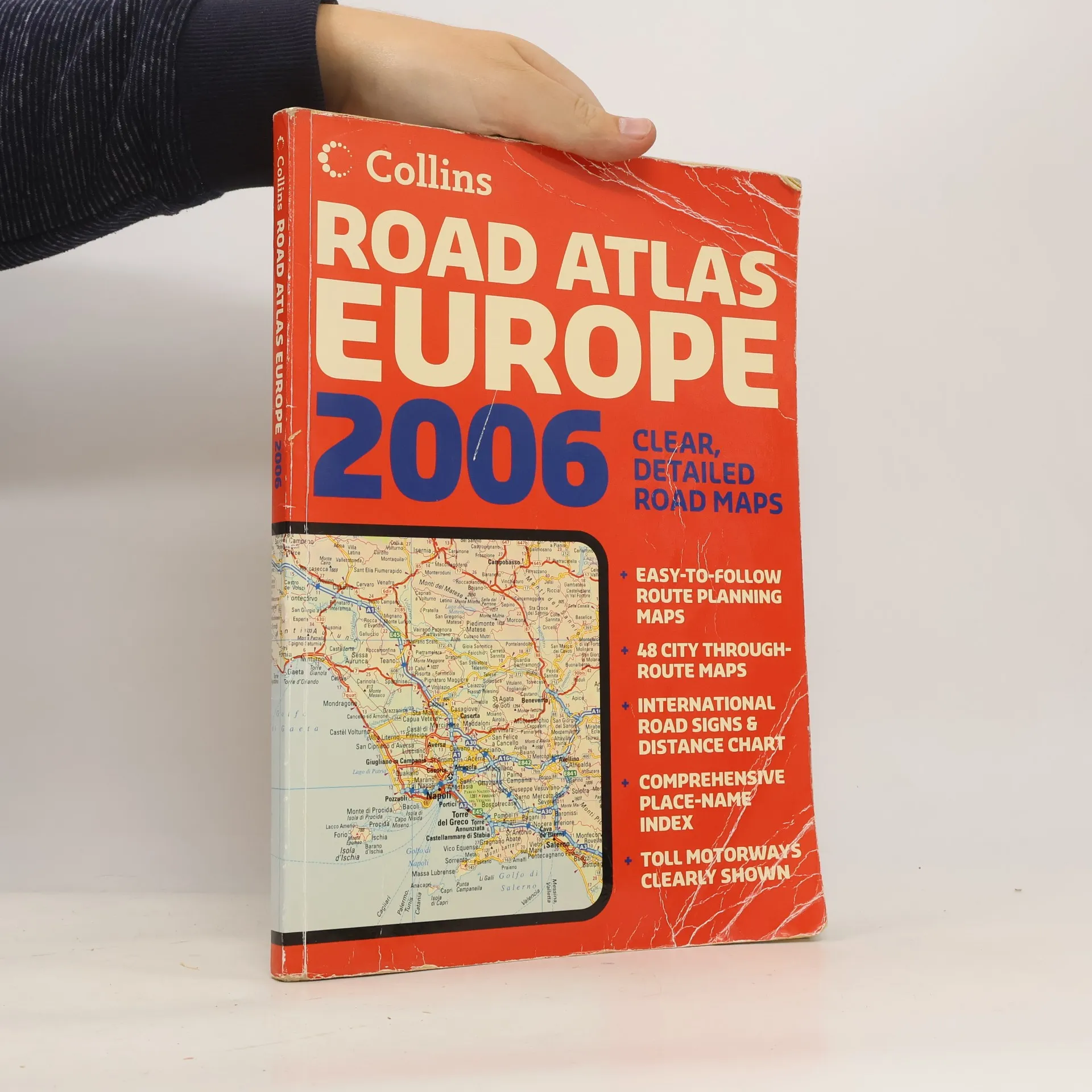
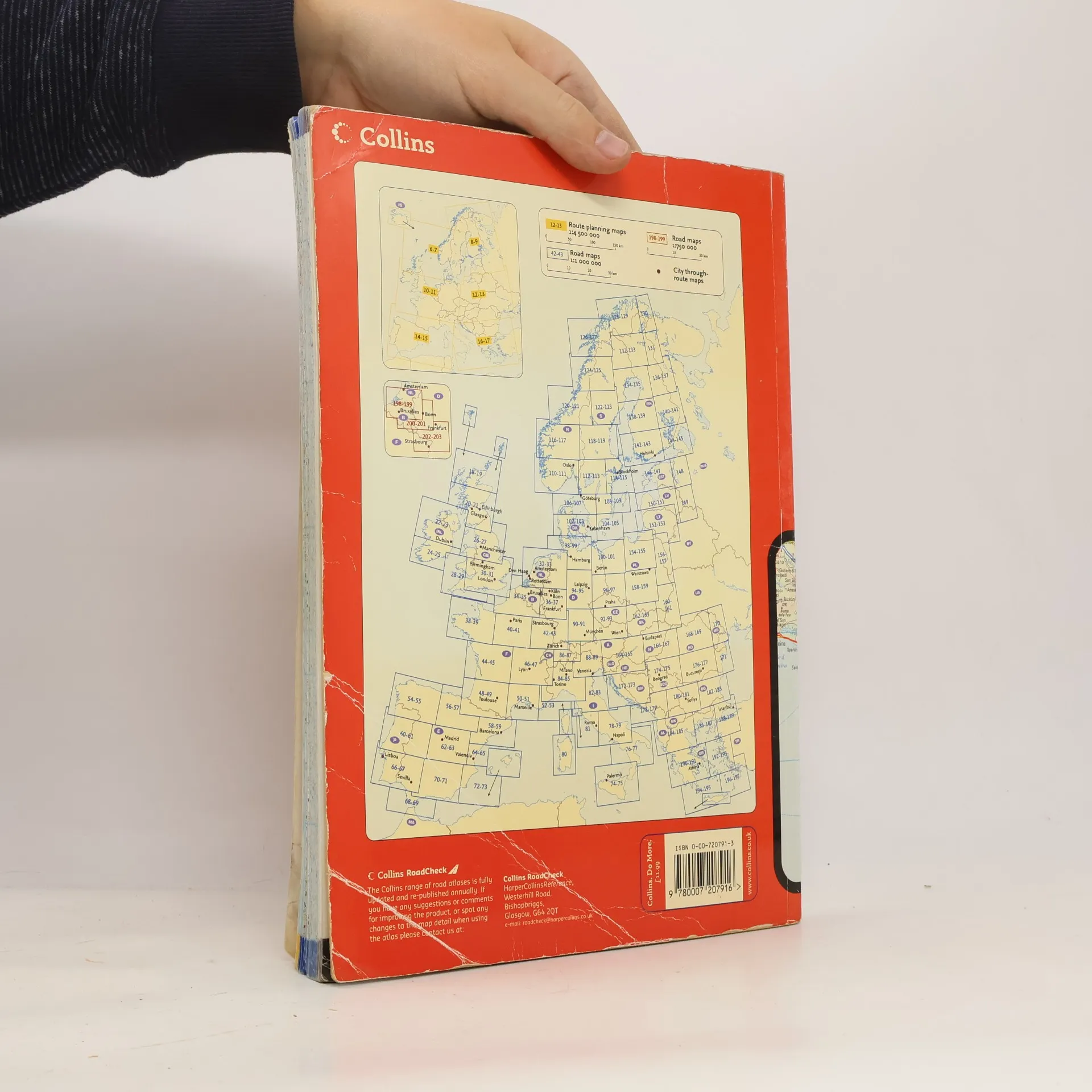
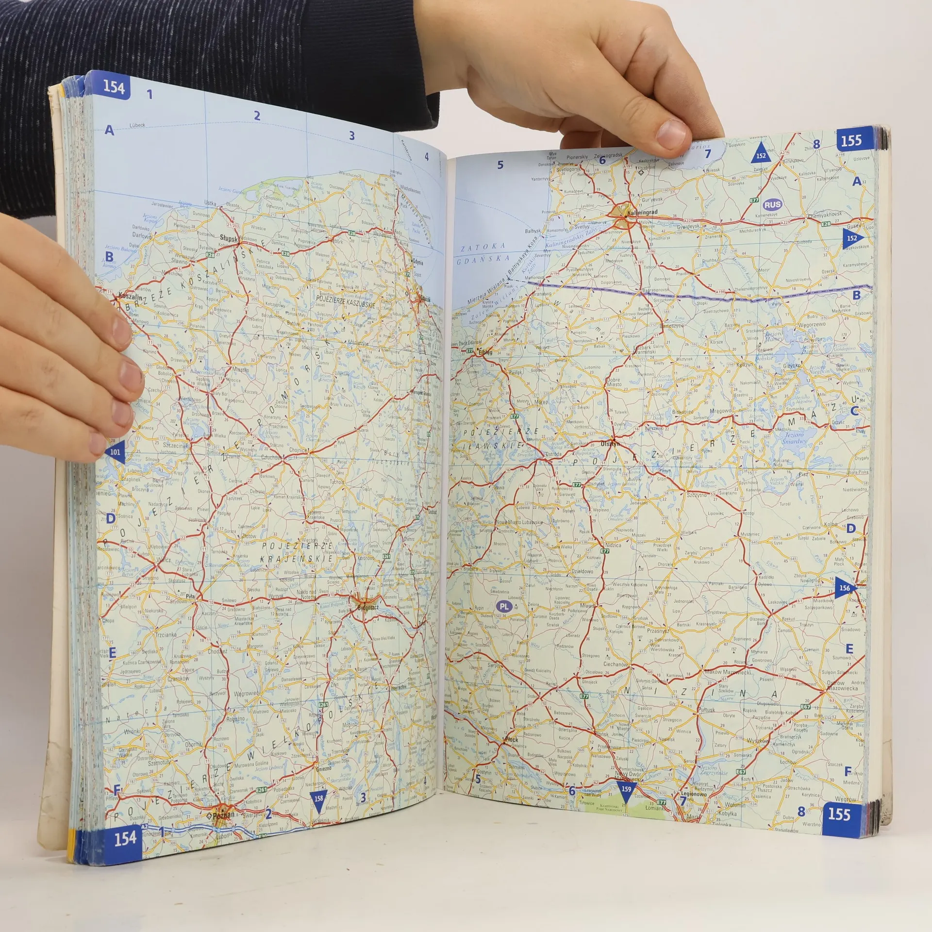
A4 formatScale 1:1 000 000 (1 cm to 10 kms / 1 inch to 16 miles)A fully revised edition of A4 paperback road atlas containing road mapping, route planning maps, large scale road maps of the Ruhr and Rhine, city through route maps and a comprehensive place names index.
Buchkauf
Collins Road Atlas Europe 2006,
- Sprache
- Erscheinungsdatum
- 2006
- Einband
- (Paperback),
- Buchzustand
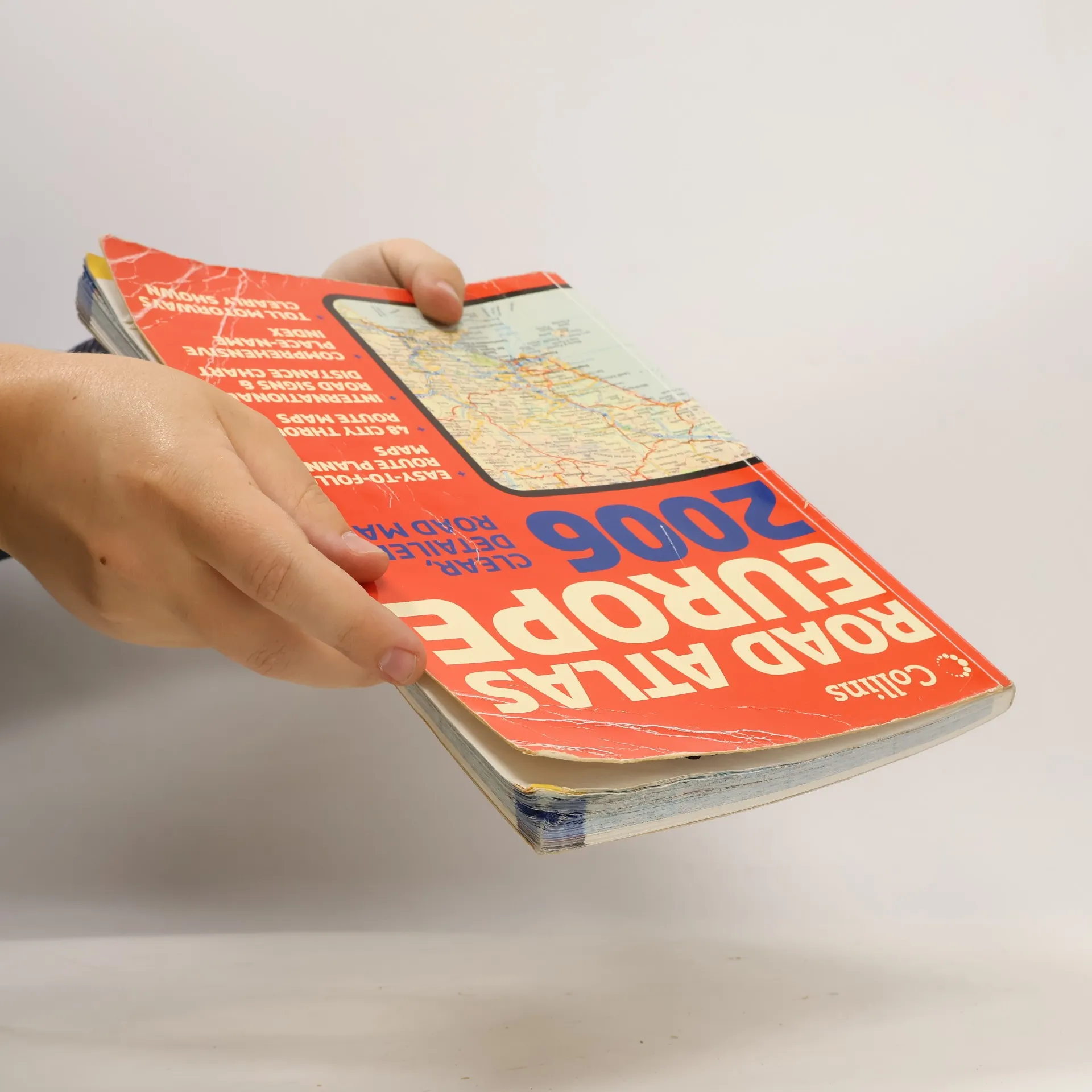
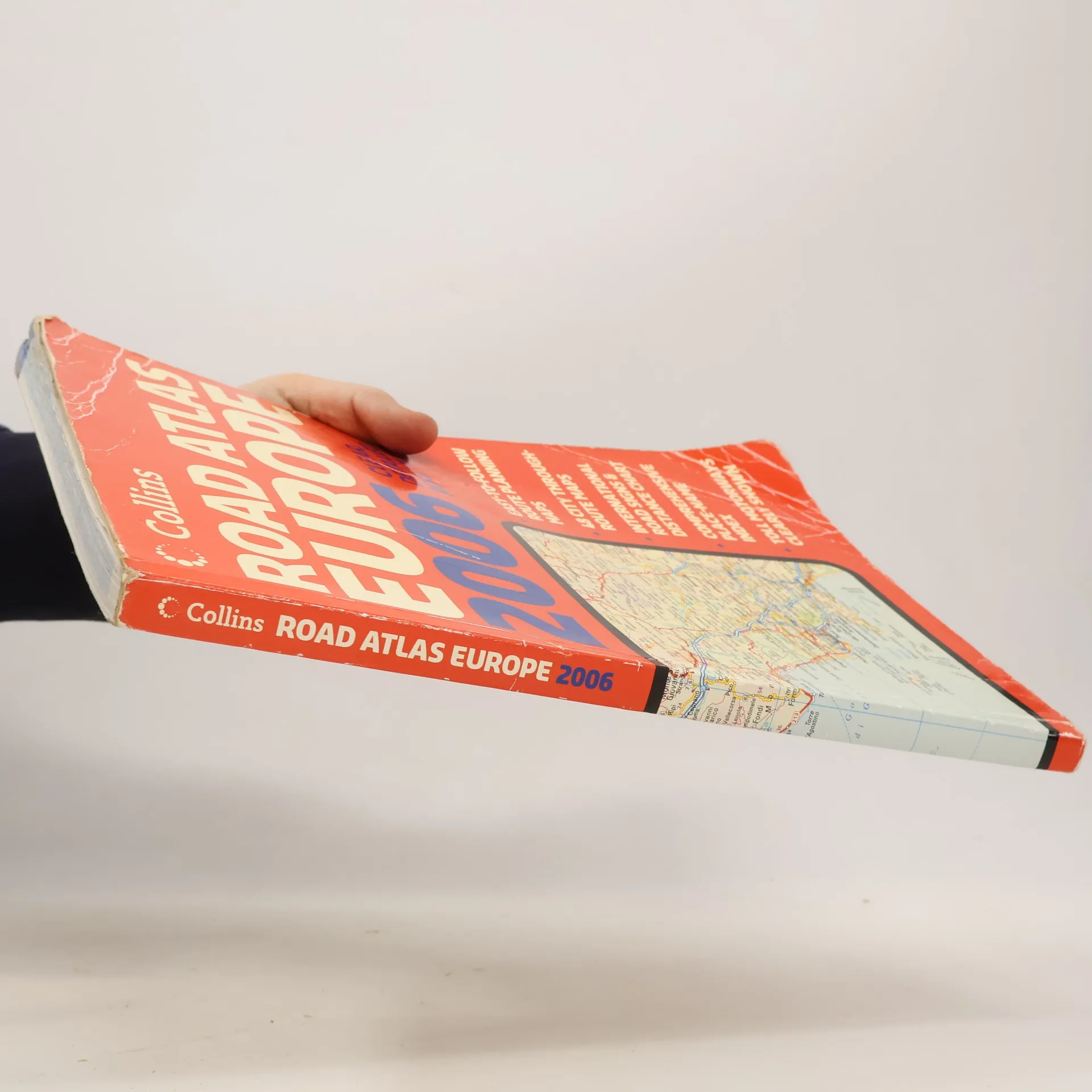
- Beschädigt
- Preis
- € 6,09
Keiner hat bisher bewertet.
- Titel
- Collins Road Atlas Europe 2006
- Untertitel
- Clear, Detailed Road Maps - Easy-To-Follow Route Planning Maps - 48 City Through-Route Maps - International Road Signs & Distance Chart - Comprehensive Place-Name Index - Toll Motorways Clearly Shown
- Autor*innen
- Verlag
- Collins
- Erscheinungsdatum
- 2006
- Einband
- Paperback
- Seitenzahl
- 280
- ISBN10
- 0007207913
- ISBN13
- 9780007207916
- Reihe
- Schlagwörter
- Reisen, Handbücher und Anleitungen, Europa, Atlasse, Autoatlasse
- Beschreibung
- A4 formatScale 1:1 000 000 (1 cm to 10 kms / 1 inch to 16 miles)A fully revised edition of A4 paperback road atlas containing road mapping, route planning maps, large scale road maps of the Ruhr and Rhine, city through route maps and a comprehensive place names index.