Dabei werden die großen kulturellen und historischen Ereignisse erläutert. Das Leben der dort residierenden Herrscher kommt ebenso zur Sprache wie das der einfachen Bevölkerung. Zusammen mit den 120 eigens angefertigten Karten, die die Straßen und Verteidigungsanlagen, Baudenkmäler und Sakralbereiche zeigen, formt der Autor ein umfassendes Bild der antiken Stadtkultur in der klassischen Welt. Dieser fesselnde Führer öffnet ein neues Fenster zur Antike und verwandelt die Sichtweise, mit der wir diese vergangene Welt wahrnehmen.
Colin McEvedy Bücher
6. Juni 1930 – 1. August 2005

In The Penguin Atlas of Modern History , Colin McEvedy has compiled an absorbing source of reference to the major developments of modern history from 1483 to 1815. Nearly forty maps and a detailed commentary follow the voyages of Columbus, Magellan, and Cook, the ebb of power from the Mediterranean to the Atlantic seaboard, and the protracted European struggle for control of a vastly new money economy.
This is a revised edition of "The Penguin Atlas of Medieval History".
The Penguin Atlas of African History
- 144 Seiten
- 6 Lesestunden
Now newly revised, this invaluable reference work provides a succinct account of the development of African society from the first appearance of man to the complex polity of today. Kingdoms and Empires are only part of the story. The atlas covers the development of modern man, the differentiation and spread of African languages, the first crossings of the Sahara, the exploration of the Niger, and the search for 'the fountains of the Nile'. Gold and ivory lure traders from far away; Christendom and Islam compete for African attention. Names from the distant past become nation-states with aspirations appropriate to the modern world. Using the formula successfully established in his previous historical atlases, Colin McEvedy outlines this progress with the aid of sixty maps and a clear, concise text. Though his synthesis will be especially useful to those involved in the teaching of African history, its broad perspectives will undoubtedly appeal also to the general reader.
Cities of the Classical World
- 448 Seiten
- 16 Lesestunden
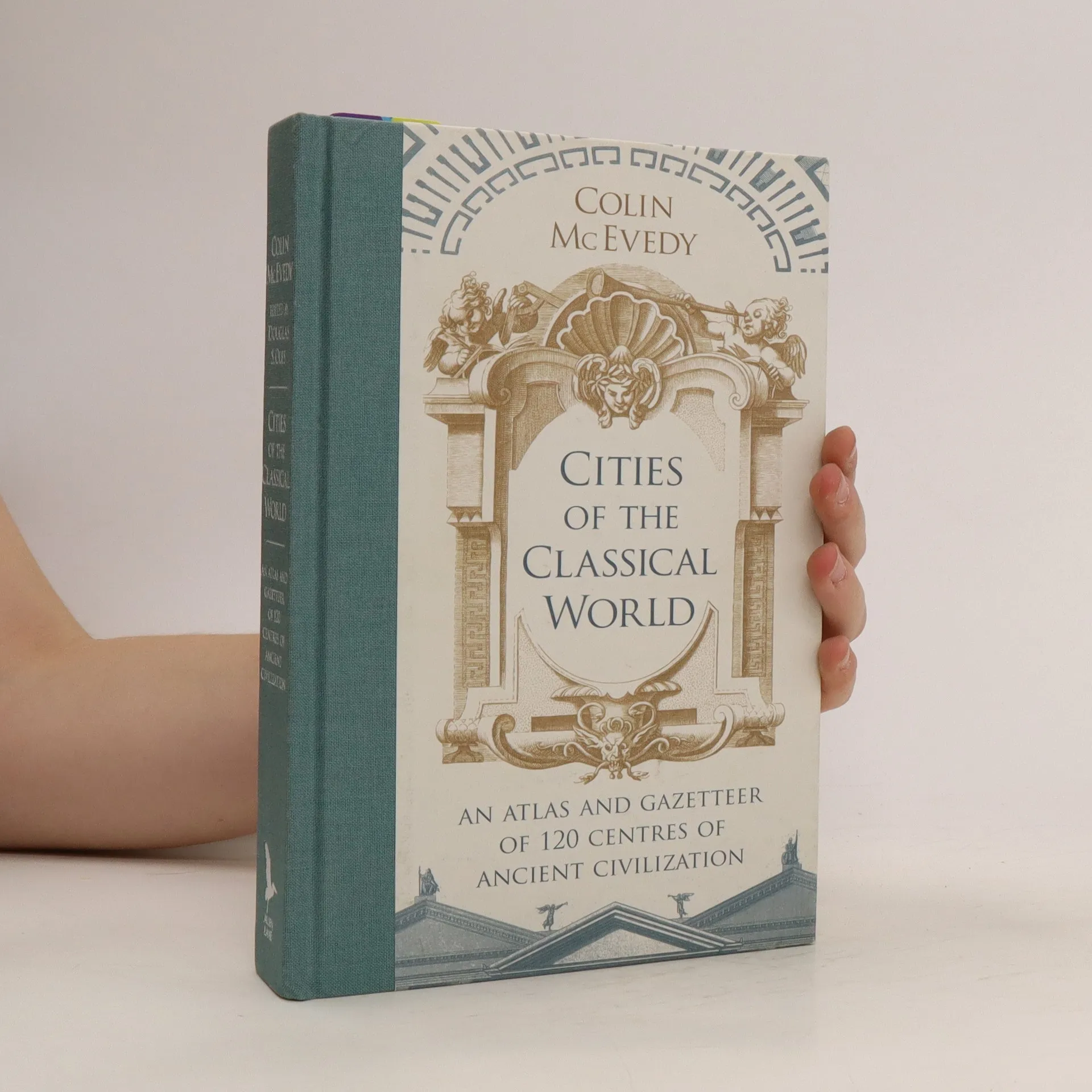
From Alexandria to York, this title allows us to see the great centres of classical civilization afresh. It features 120 maps tracing each city's thoroughfares and defences, monuments and places of worship. It also includes incisive commentary on each city's development, strategic importance, rulers and ordinary inhabitants.
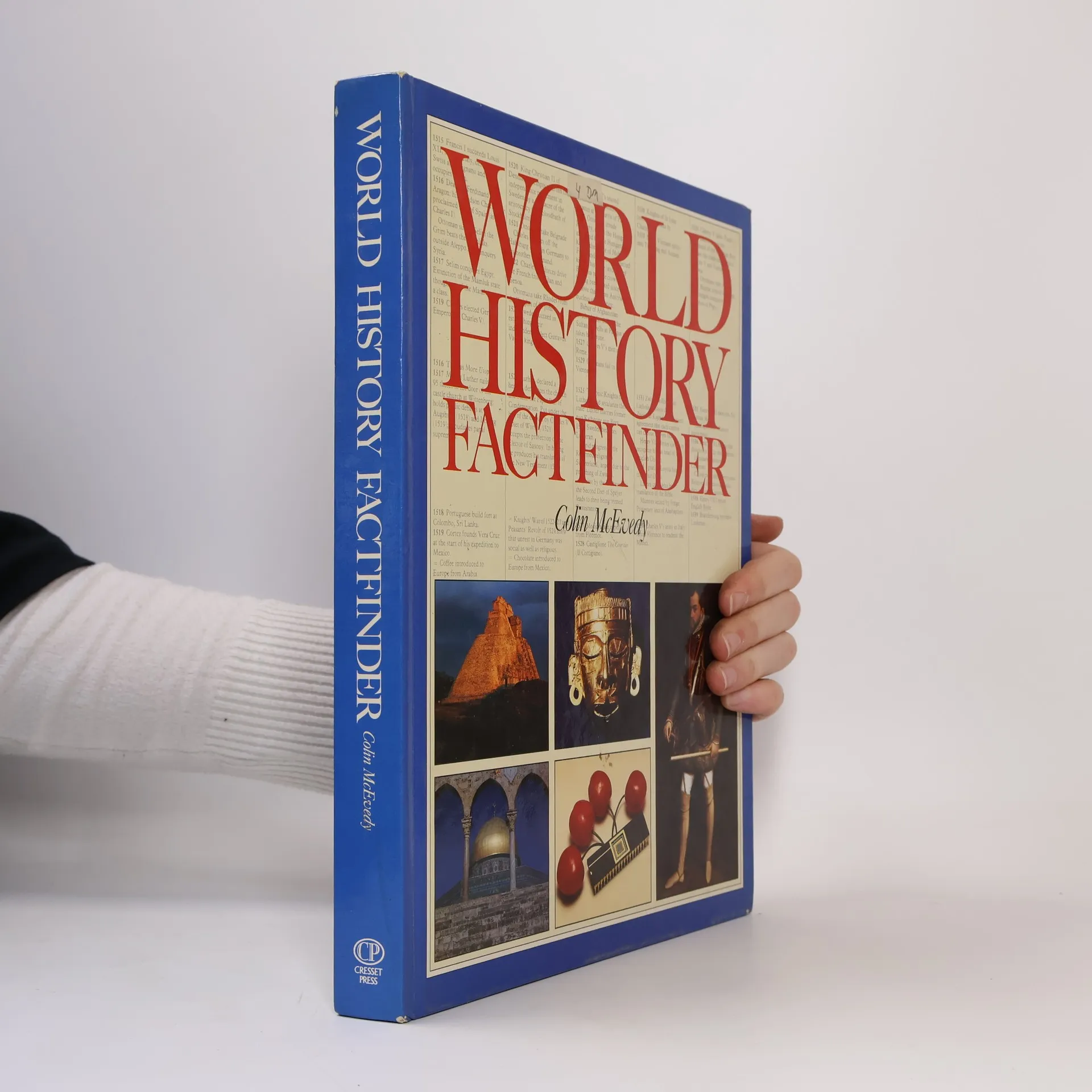
The World History Factfinder
- 208 Seiten
- 8 Lesestunden
208p. : 30cm
The Penguin Atlas of Ancient History
- 96 Seiten
- 4 Lesestunden
Traces the migrations and evolution of the races as well as the development of civilizations from prehistoric times to the fourth century A.D.
Kosmos Historische Atlassen
Oudheid
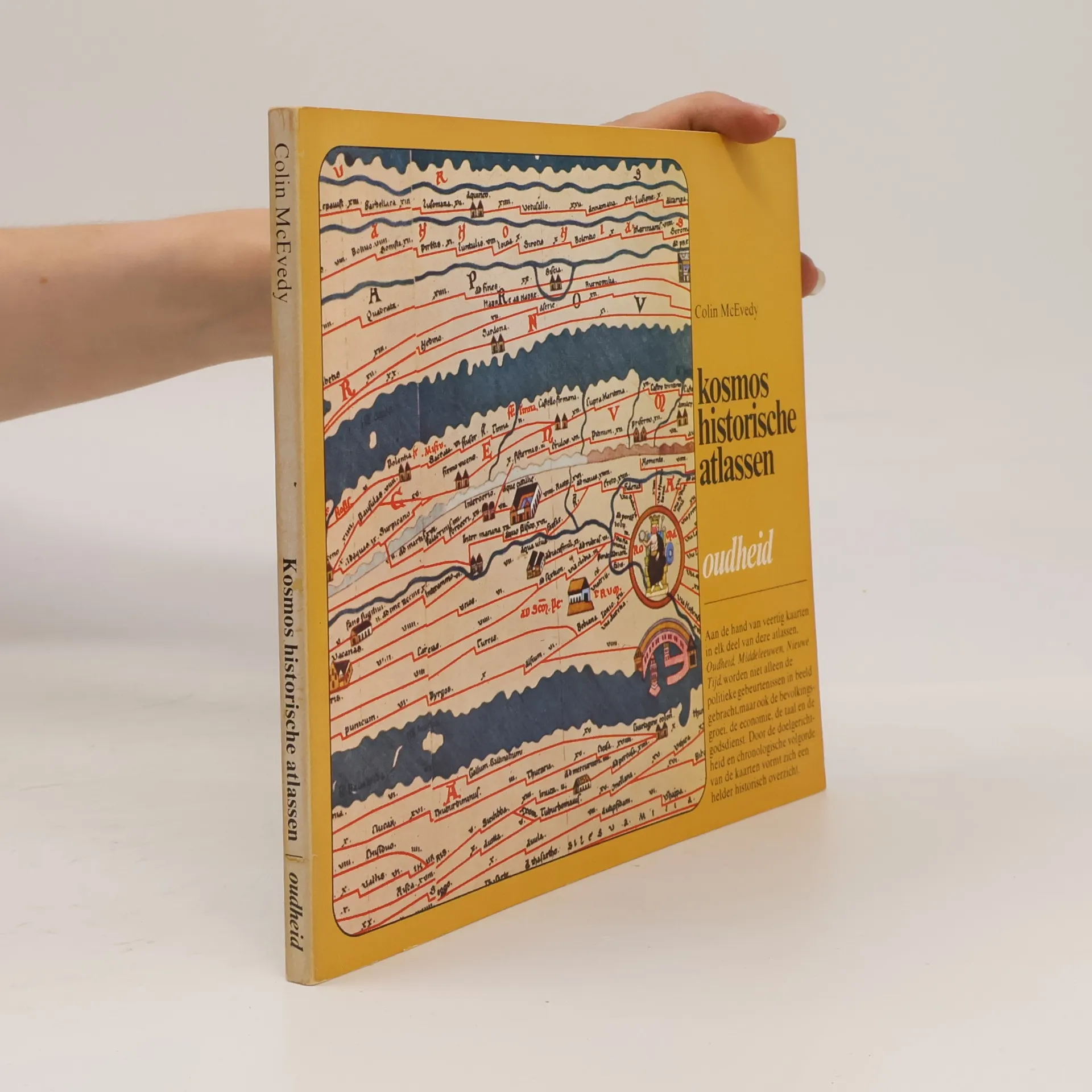
Deze atlas behandelt de periode van 50.000 v. Chr. tot 362 n.Chr. Hij beschrijft het stenen tijdperk, de bronstijd en de ijzertijd en volgt de bewegingen en de culturele ontwikkeling van vele volken, zoals de Mesopotamiërs, Egyptenaren, Perzen, Grieken, Kelten en Romeinen. Een overzichtelijk verhaal over het ontstaan en de groei van de historische culturen van Europa en het Nabije Oosten. De Tabula Peutingeriana, die op de voorzijde wordt afgebeeld, is eigenlijk geen kaart, maar een diagram. Men vindt de kruispunten en de rustplaatsen. De oorspronkelijke Romeinse kaart (3e eeuw) stond op een lange smalle rol. Het exemplaar dat bewaard bleef, is een 12e eeuwse copie. Op de achterzijde ziet men wat een echte kartograaf in dezelfde periode kon maken. Dit is een copie uit de renaissance van een kaart van Claudius Ptolemaios (2e eeuw).
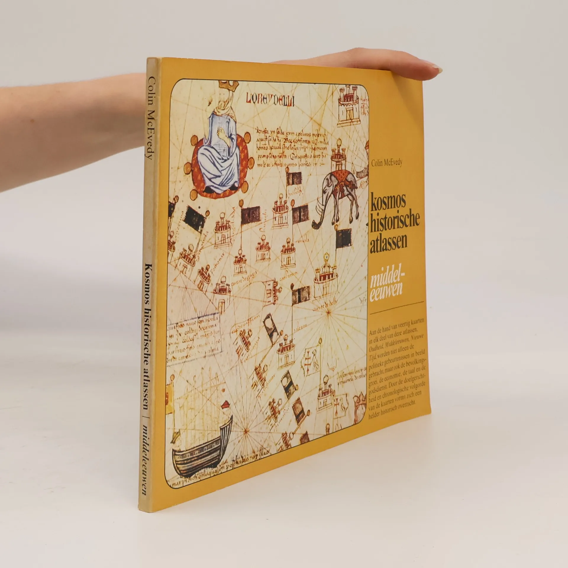
Chronologisch wordt in dit deel van de atlassen de periode van 362 tot het einde van de 1e eeuw behandeld. In deze periode bestond er steeds een wisselwerking tussen de landen van Europa en die van het Nabije Oosten, terwijl ze gezamenlijk van de rest van de wereld afgesloten waren. De grote veroveringen van de nomadenvolken vonden plaats: Hunnen, Mongolen en Turken. Deze atlas geeft het raamwerk voor vele feiten, die we wel kennen, maar niet in hun context kunnen plaatsen.