

Mehr zum Buch
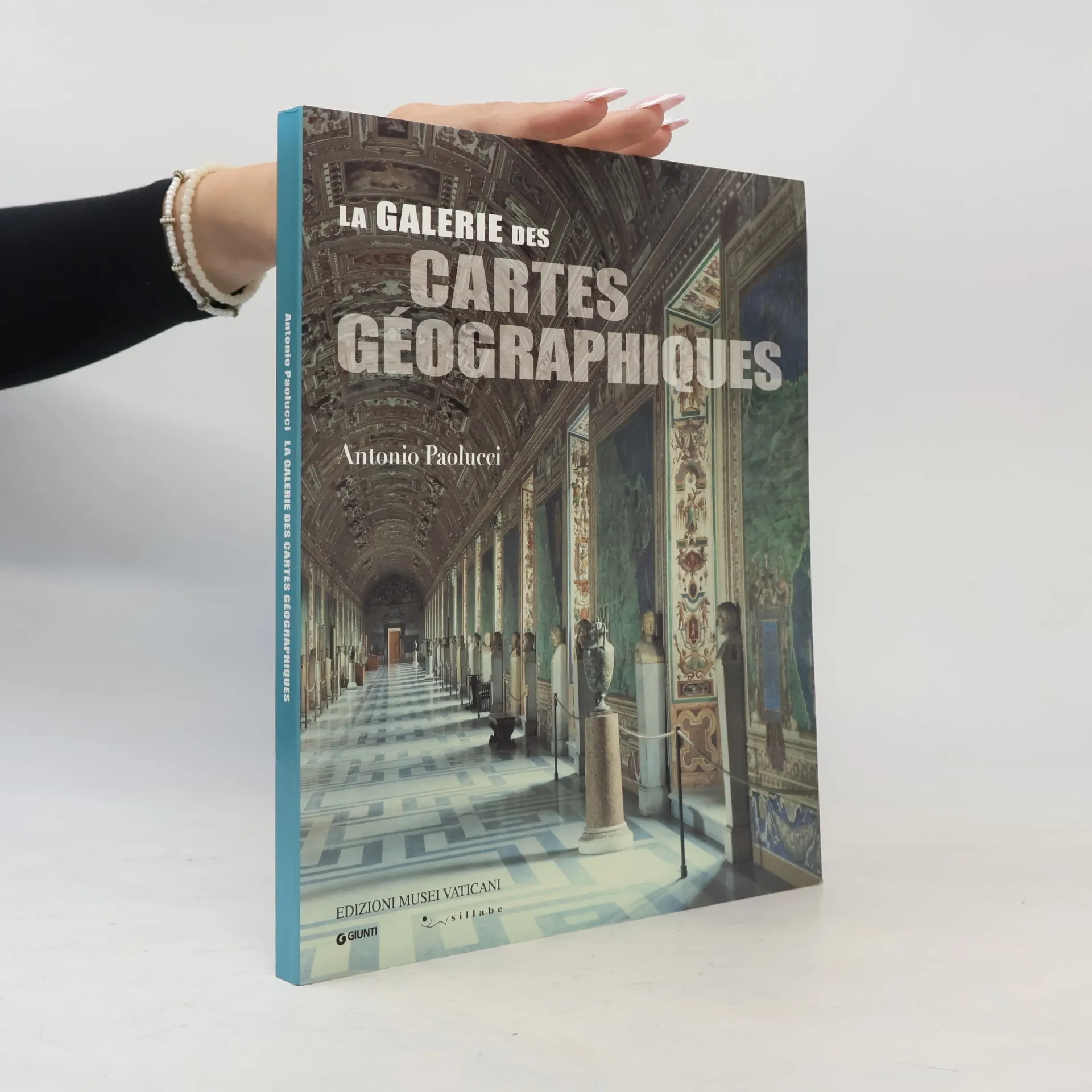
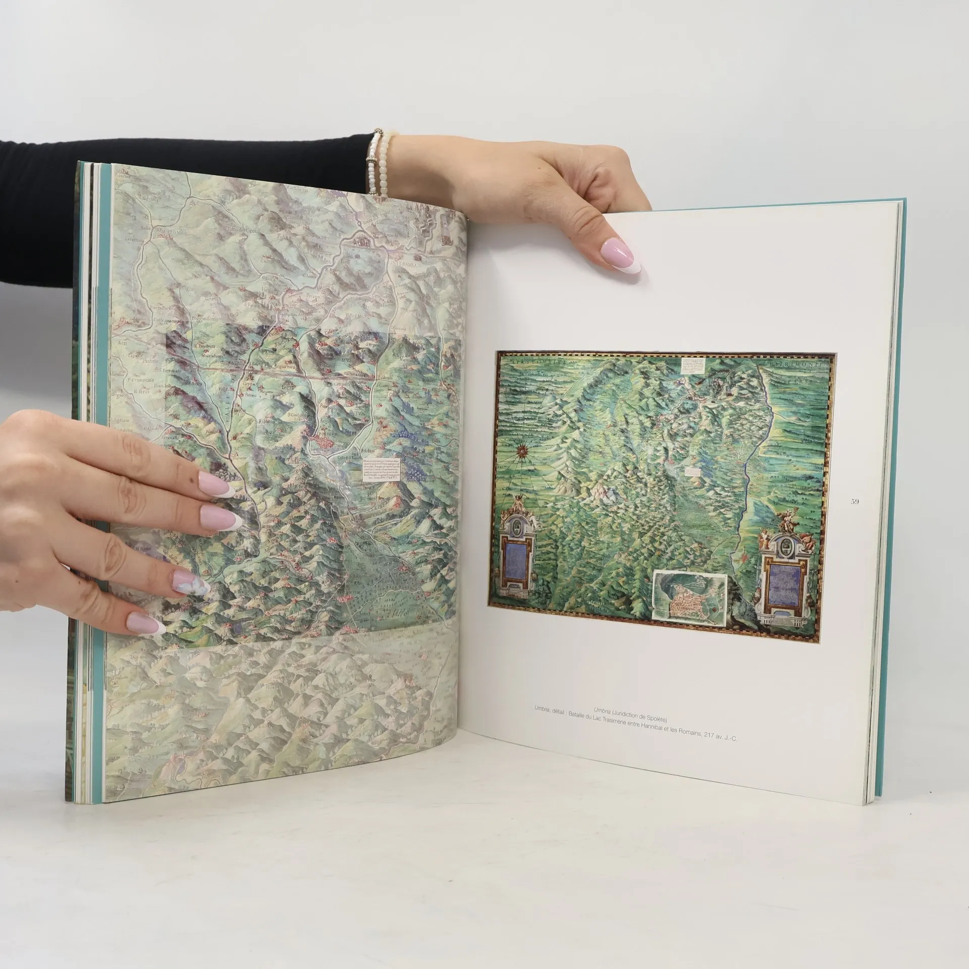
The Gallery of the Geographical Maps, stretching one hundred and twenty metres, is a captivating section of the Vatican Museums. Commissioned in 1581 by Pope Gregory XIII, the project was led by the renowned cosmographer and mathematician Ignazio Danti. He collaborated with notable artists like Matteo and Paolo Bril, Girolamo Muziano, and Cesare Nebbia to create forty maps illustrating the Italian regions and islands. These maps feature perspective views of key port cities such as Genoa, Venice, Civitavecchia, and Ancona, alongside significant historical events in Christianity, including the Siege of Malta and the Battle of Lepanto. The artwork intertwines history with geography, showcasing Italy from north to south, highlighting its mountains, valleys, forests, and lakes, as well as pivotal moments that shaped its identity. Vivid depictions include Julius Caesar crossing the Rubicon and Hannibal's victory at Lake Trasimeno. The same artists also painted the vault, illustrating the lives and miracles of patron saints from each region, such as Ambrose, Januarius, Agatha, and Francis of Paola. The Gallery offers a modern vision of Italy, unified not by politics but by its rich history, culture, and religion.
Sprache

Buchkauf
La Galerie des Cartes Géographiques. Ediz. francese, Antonio Paolucci
- Sprache
- Erscheinungsdatum
- 2011
- Einband
- (Paperback),
- Buchzustand
- Gebraucht - Gut
- Preis
- € 17,99
Keiner hat bisher bewertet.
- Titel
- La Galerie des Cartes Géographiques. Ediz. francese
- Autor*innen
- Antonio Paolucci
- Verlag
- Edizioni Musei Vaticani
- Erscheinungsdatum
- 2011
- Einband
- Paperback
- Seitenzahl
- 128
- ISBN10
- 8882711110
- ISBN13
- 9788882711115
- Reihe
- Schlagwörter
- Bildende Kunst, Kunst
- Beschreibung
- The Gallery of the Geographical Maps, stretching one hundred and twenty metres, is a captivating section of the Vatican Museums. Commissioned in 1581 by Pope Gregory XIII, the project was led by the renowned cosmographer and mathematician Ignazio Danti. He collaborated with notable artists like Matteo and Paolo Bril, Girolamo Muziano, and Cesare Nebbia to create forty maps illustrating the Italian regions and islands. These maps feature perspective views of key port cities such as Genoa, Venice, Civitavecchia, and Ancona, alongside significant historical events in Christianity, including the Siege of Malta and the Battle of Lepanto. The artwork intertwines history with geography, showcasing Italy from north to south, highlighting its mountains, valleys, forests, and lakes, as well as pivotal moments that shaped its identity. Vivid depictions include Julius Caesar crossing the Rubicon and Hannibal's victory at Lake Trasimeno. The same artists also painted the vault, illustrating the lives and miracles of patron saints from each region, such as Ambrose, Januarius, Agatha, and Francis of Paola. The Gallery offers a modern vision of Italy, unified not by politics but by its rich history, culture, and religion.