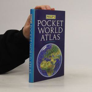
Wir senden dir das abgebildete Buch
Mehr zum Buch
Contains 96 pages of maps that are politically coloured to emphasize countries, towns and cities, as well as major transport routes and administrative boundaries. This title features the maps showing the world's major flight paths and international organizations. It contains a country gazetteer giving details for over 200 of the world's nations.
Buchkauf
Philip's Pocket World Atlas, Philip's Maps
- Sprache
- Erscheinungsdatum
- 1992
- product-detail.submit-box.info.binding
- (Hardcover),
- Buchzustand
- Gebraucht - Gut
- Preis
- € 8,49
Lieferung
- Gratis Versand in ganz Österreich
Zahlungsmethoden
Keiner hat bisher bewertet.


