Gratis Versand in ganz Österreich
Bookbot

Malcolm Eva

    Way to the Stars, The - Story of the Snowdon Mountain Railway, The
    Business Analysis
    Great Orme Tramway
    Medieval Roads and Tracks
    Salford Quays Through Time
    Prestwich & Whitefield Through Time
    • Salford Quays Through Time

      • 96 Seiten
      • 4 Lesestunden
      4,0(1)Abgeben

      This fascinating selection of photographs shows how Salford Quays and neighbouring areas have changed dramatically over the years.

      Salford Quays Through Time
    • Medieval Roads and Tracks

      • 64 Seiten
      • 3 Lesestunden
      4,0(29)Abgeben

      Starting with the basic concept of a 'road' in medieval times, and discussing the increasing need to travel, this book explores the evidence from documents and maps that provide clues as to where the roads of medieval Britain led, connecting the study of individual roads together to paint an image of the broader road network.

      Medieval Roads and Tracks
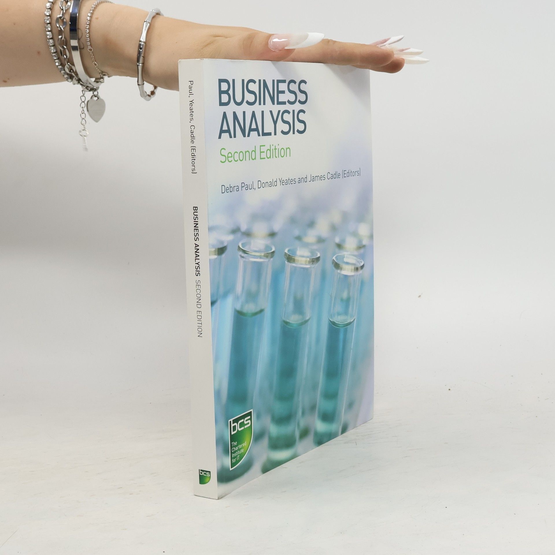
    • Providing workable skills and techniques, underpinned with academic theory, this title is a practical introductory guide for anyone involved with any aspect of business analysis or improving the effectiveness of IT and its alignment with the organization's business objectives

      Business Analysis
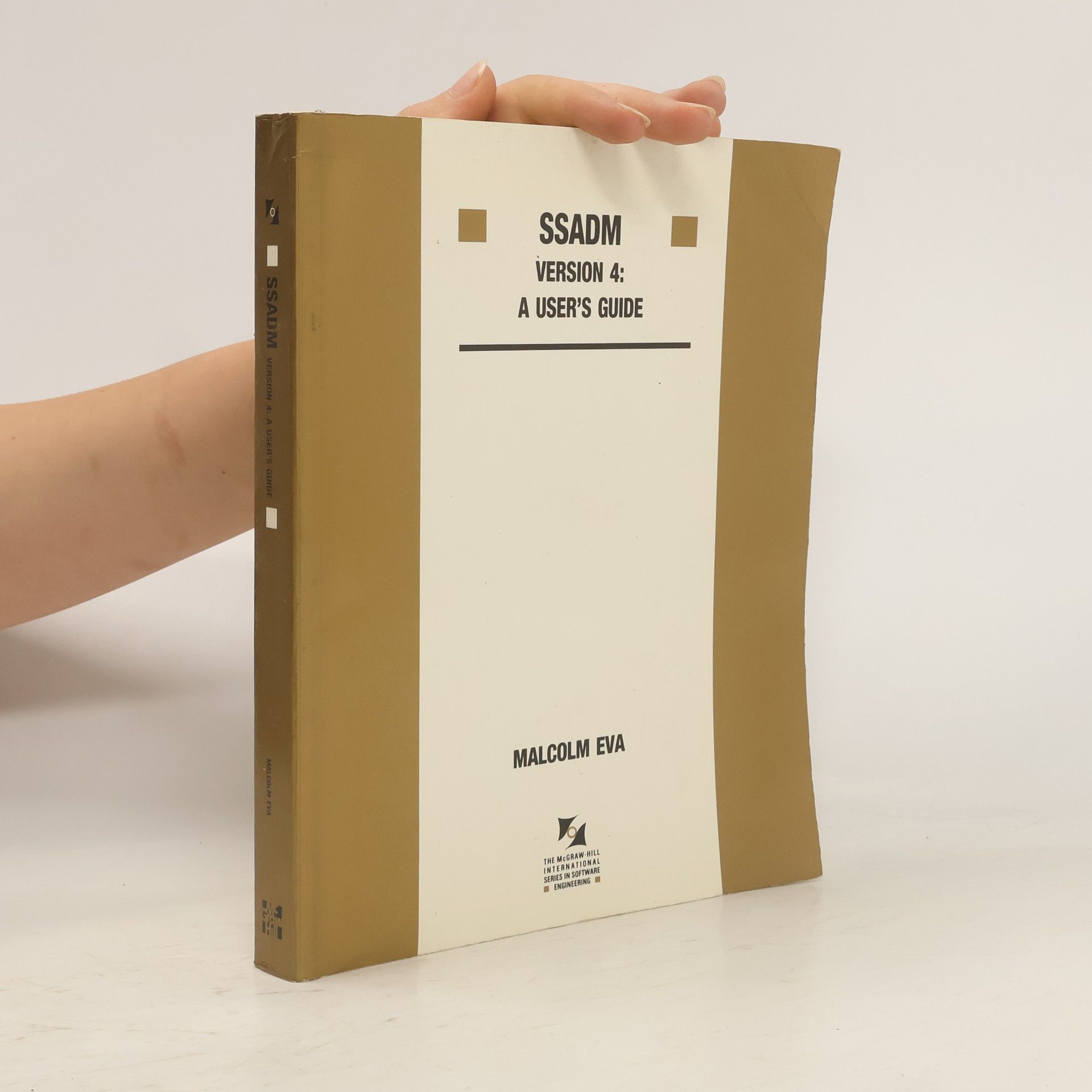
    • SSADM Version 4

      A User's Guide

      This second edition focuses on the practical elements of SSADM version 4. The work is divided into three parts to introduce SSADM, explain its complementary techniques, and look at applications. The guide has been updated to reflect the results of the widespread implementation of SSADM. More exercises and examples, particularly in the sections on function definition and dialogue design, are included to suit students.

      SSADM Version 4
    • This companion volume to Central Birmingham 1870-1920 captures the changing face of the city over a further half century using a selection of nearly 200 old photographs, many of which have never before been published. The book portrays not just the streets and buildings but also the men, women and children of the city as they went about their daily business during both peace and war and the postwar period of rebuilding and reshaping.The photographs are once again drawn from the extensive photographic archives at Birmingham Central Library where the author is a Local Studies specialist.

      Central Birmingham 1920-1970: Images of England
    • Here are the details of maps for Lancashire Sheet 88.11 Heywood 1907 - published 2006; intro by Paul Hindle. ISBN.978-1-84151-923-4 This detailed map covers the mill town of Heywood, just west of Rochdale. About 35 cotton mills are shown on the map, including Yew Mill, Plum Mill, Roeacre Mill and others. Coverage stretches from Lord Street and Rose Hill Mill eastward to Lane End and Harefield Hall. The Bolton & Bury line runs through the map, including Heywood and Broadfield stations, and the railway wagon works. Other features include tramways, Hopwood, Heywood Branch Canal, Captain Fold, All Souls church, St Luke's church, Cartridge Ropery, Bottom o' th' Brow, Broadfield, Sun Iron Works, Phoenix Brewery.We include extracts from a 1918 directory on the reverse.

      Heywood 1907