Sizilien und Liparische Inseln
- 174 Seiten
- 7 Lesestunden
Die schönsten Küsten- und Bergwanderungen. 72 Touren mit GPS-Tracks
Steil türmt sich die zerklüftete Küste auf, bizarr geformt sind die Granitberge und alles ist umgeben vom türkisfarbenen Meer – Wandern durch die paradiesisch wilden Szenerien auf Sardinien ist pures Vergnügen. Der Rother Wanderführer »Sardinien« stellt üppige 70 Touren vor und bietet ein umfangreiches Spektrum reizvoller Küsten- und Bergwanderungen. Die Auswahl umfasst leichte, mittelschwere und anspruchsvolle Touren, von romantischen Strandspaziergängen bis zu kühnen Gipfelbesteigungen. Viele Wanderungen verlaufen abwechslungsreich auf alten Hirtenpfaden und Köhlerwegen durch einsame, archaische Landschaften, in denen Schaf- und Ziegenherden grasen oder halbwilde Schweine, Esel und Pferde anzutreffen sind. Die Touren werden jeweils mit einer Kurzinfo mit allen wichtigen Angaben, einer zuverlässigen Wegbeschreibung, einem Kartenausschnitt mit eingezeichnetem Routenverlauf und einem aussagekräftigen Höhenprofil vorgestellt. Für jede Tour stehen GPS-Tracks zum Download von der Internetseite des Rother Bergverlags zur Verfügung. Atemberaubende Fotos wecken bereits daheim die Vorfreude auf den Wanderurlaub. Die Autoren Walter Iwersen und Elisabeth van de Wetering sind seit vielen Jahren begeisterte Sardinien-Reisende, die alle Ecken der Insel bestens kennen. Sie haben bereits mehrere Wanderführer aus dem Bergverlag Rother verfasst.
Triskeles, meaning "three legs," and Trinakria, "the land of the three promontories," refer to a remarkable island symbolized by a head wrapped in snakes and three legs, with origins in antiquity. While the Arabs provided the first comprehensive cartography of Sicily, many nations recognized its significance long before. Geologically, the largest island in the Mediterranean is connected to Italy, with the Apennine chain extending underwater to the Peloritani and Nebrodi mountains. A second chain of volcanoes links Sicily to the mainland, including Vesuvio, the Lipari Islands, and Mount Etna. The diverse landscapes of the Madonie, Sicanian mountains near Palermo, and the Hyblaean plateau in the southeast are all karstic yet uniquely different. Remarkably, hikers and mountaineers are only just beginning to explore Sicily's exotic and varied mountainous terrain, which offers much more than the obligatory ascent of the prominent 3,340 m Mount Etna. Mithra Omidvar, a hiking guide and expert in this mountainous realm, has curated 50 excursions that span all regions of the island, including the Lipari and Aeolian Islands. It's no wonder that nature enthusiasts dream of three legs to traverse Sicily's vast and captivating landscapes.
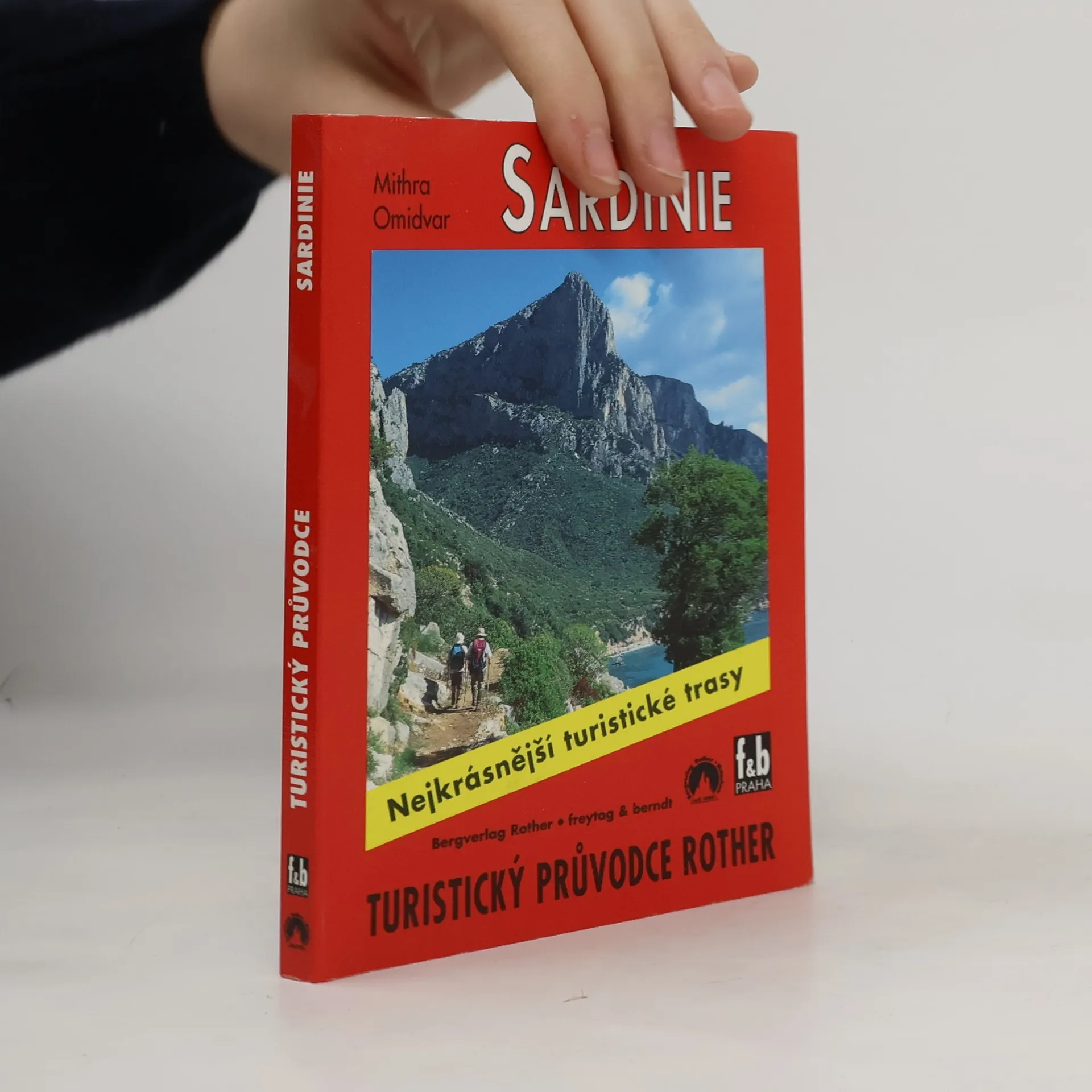
Průvodce nabízí 50 vybraných turistických tras po pobřeží a v horách Sardinie. Každá trasa je přesně popsána z hlediska směru, časového rozvržení a zajímavostí, které lze spatřit. Úvodní část je věnována všeobecným a praktickým informacím o pěší turistice na ostrově.
La Sardegna è, per dimensioni, la seconda isola del Mediterraneo ed è una delle più amate isole balneari d’Europa. Il fatto che l’isola sia montuosa desta meraviglia in coloro che non la conoscono bene; ad essi sembra incredibile che ci possano essere tante possibilità di escursione ed alpinistiche. Lo stimolo vuole essere proprio questo: scegliere la Sardegna per fare una vacanza escursionistica. L’isola stupisce con scenari ineguagliabili, multiformi, selvaggi e paradisiaci: dai panorami della ripida e frastagliata costa orientale, oltre le maestose ed alte montagne centrali, fino alle dolci colline della regione occidentale – per non parlare delle lussureggianti regioni boschive del Sud e dei bizzarri monti di granito del Nord. In questa guida escursionistica, completamente rinnovata, Walter Iwersen ed Elisabeth van de Wetering presentano 63 escursioni selezionate, che comprendono tranquille passeggiate costiere, ma anche avventurose escursioni su scogliere. I punti di forza di questa edizione sono le splendide foto a colori, le cartine escursionistiche, gli efficaci profili altimetrici, la dettagliata descrizione dell’itinerario, oltre all’indicazione dei punti GPS, i cui dati possono essere gratuitamente scaricati da Internet. Un volume riuscito, obbligatorio per chiunque visiti la Sardegna!