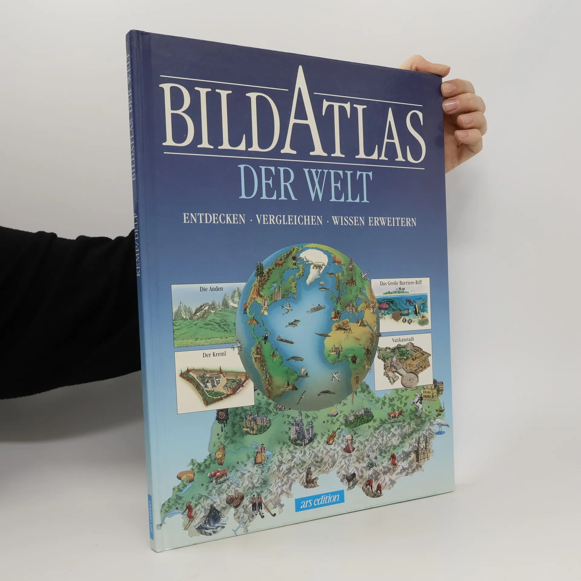
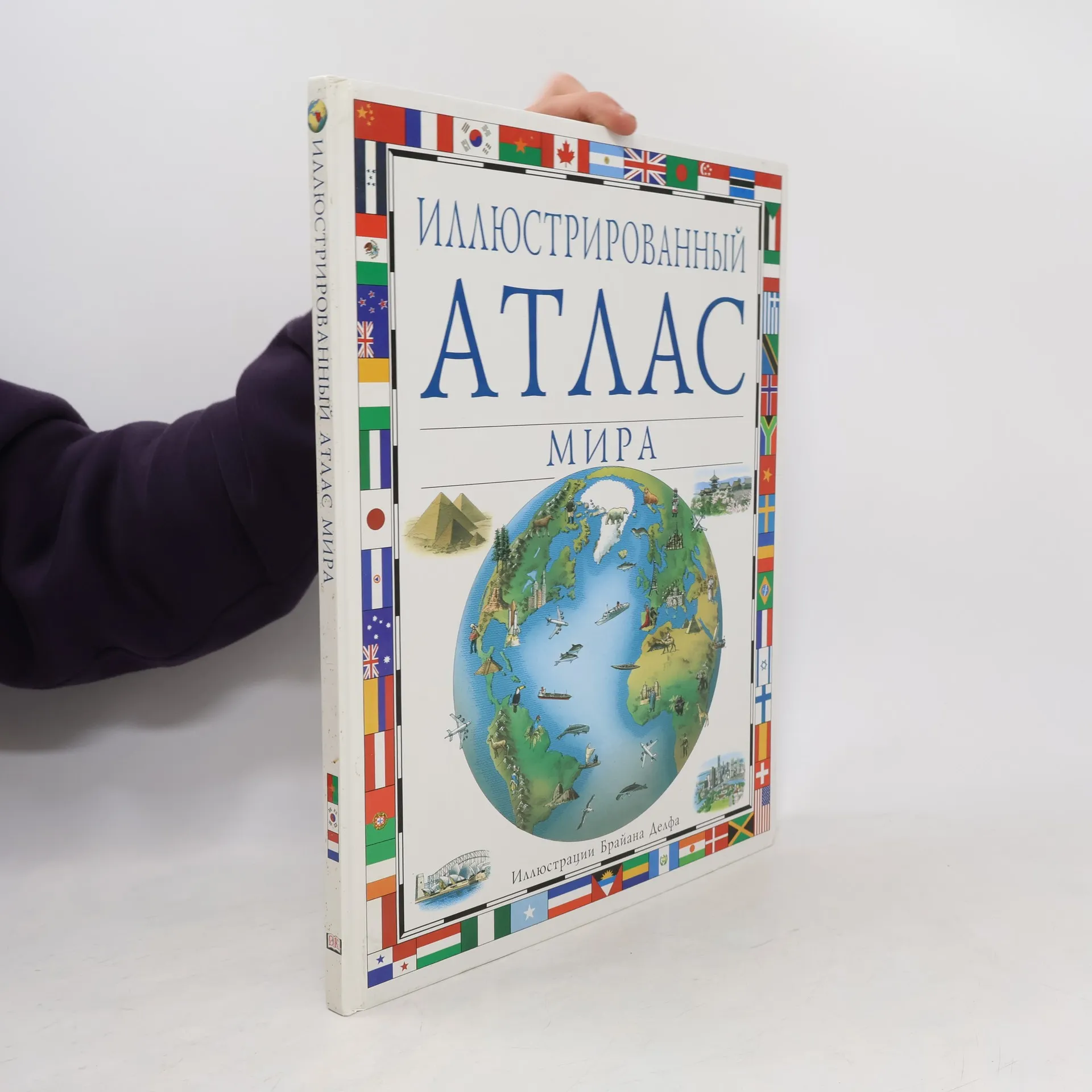
Dieses Buch bietet eine präzise Darstellung der Welt durch Kartenillustrationen, die jedem Kontinent und Land neues Leben einhauchen. Es enthält Zeichnungen, Diagramme und Illustrationen, die durch einfache Seitenlayouts, spezielle Faktenkästen, hervorgehobene Texte und Bilder zu verschiedenen Ländern ergänzt werden. Die Karten zeigen Merkmale wie Landschaftsrelief, wichtige Industrien, Touristenattraktionen, kulturelle Besonderheiten und Tierwelt.
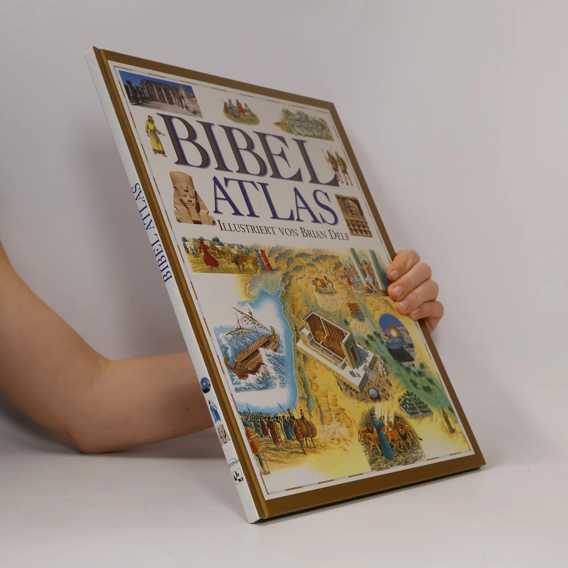
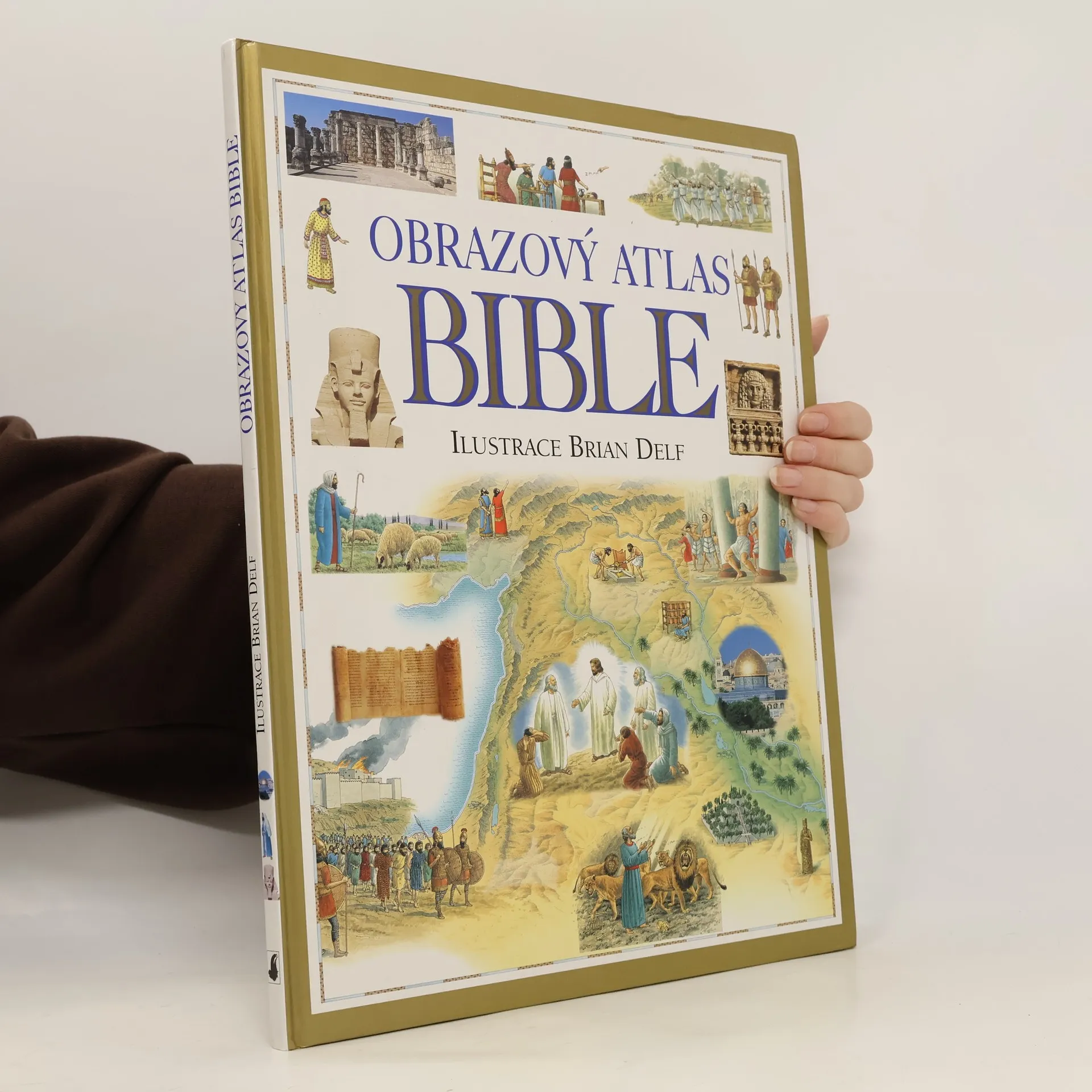
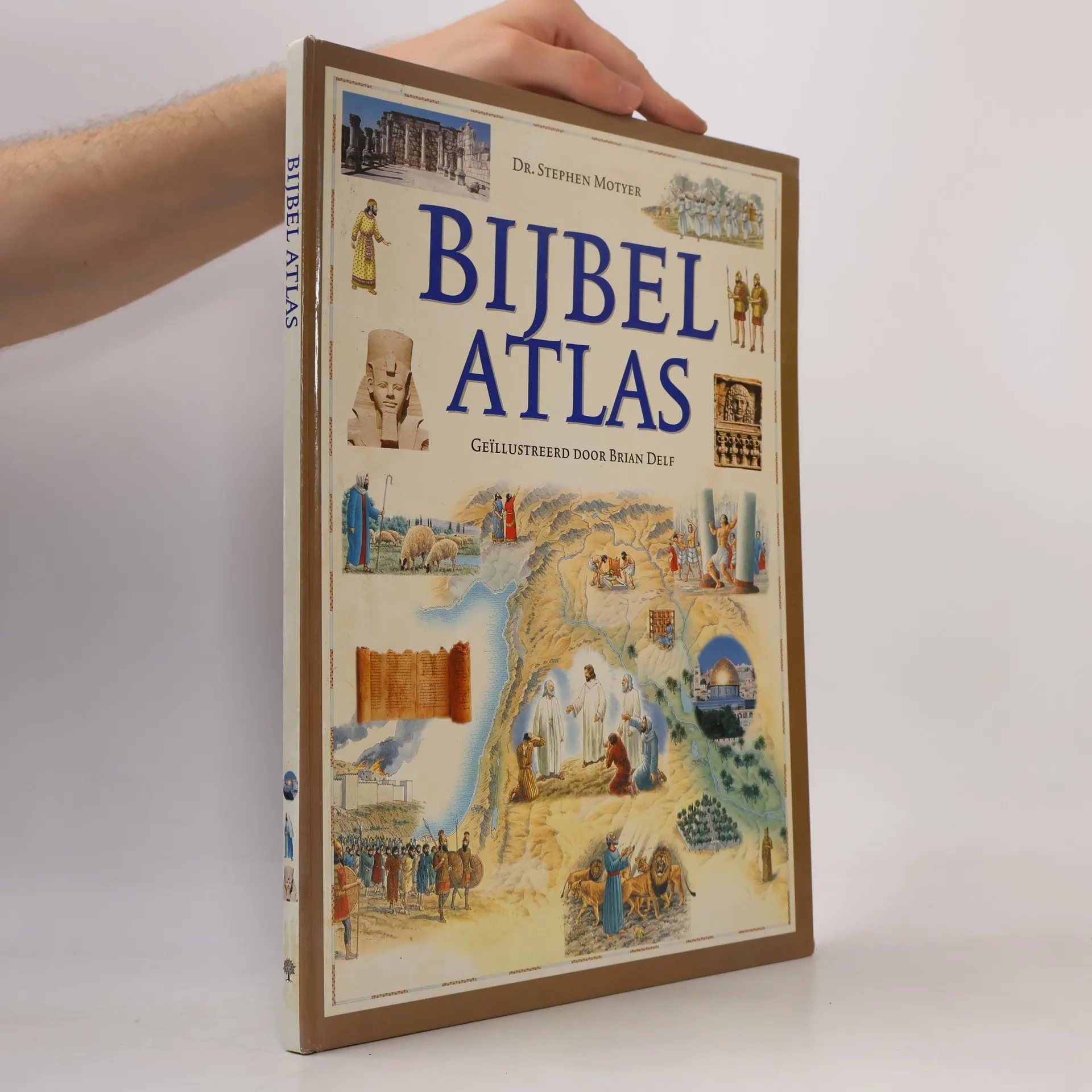
A beautiful pictorial atlas charting the lands of the Bible, bringing the stories of the Bible to life in an exciting new way. Have you ever wondered where the amazing stories of the Bible took place? Which route Moses and the Israelites followed to get to Canaan? The size of the Roman Empire at the time of Jesus's birth? How far the Persian Empire stretched at its peak? The Bible Atlas covers all this and much more. The Bible Atlas examines the geography of the Holy Lands and the great nations that rules them. It looks at the lives of the people of the Old and New Testaments -- how they lived, traveled, and worshipped. And some of the most dramatic and important events of the Bible are lyrically retold with beautifully illustrated scenes that bring the stories to life. Archeological remains of some of the most important biblical sites are included, which modern-day pictures show the Holy Lands as they are today. With lively, authoritative text and beautifully detailed maps, the Bible Atlas takes us on a fascinating journey.
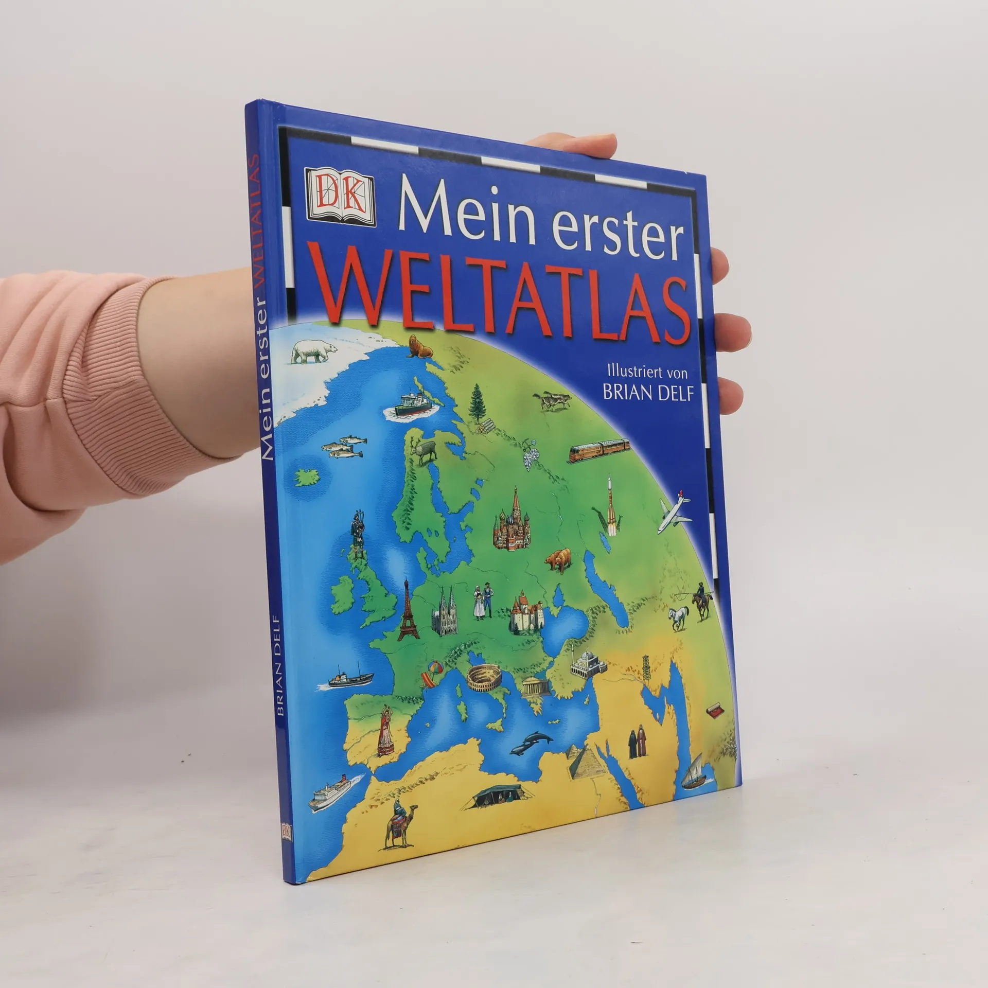
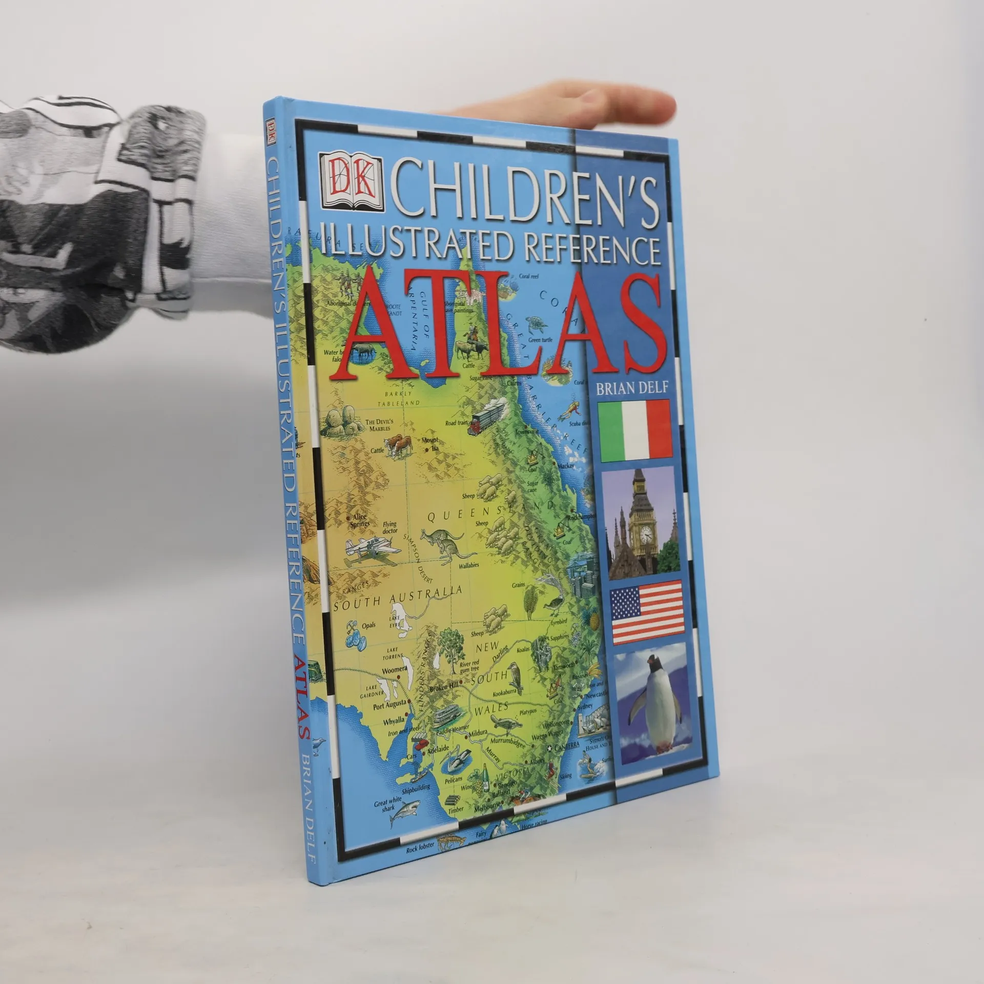
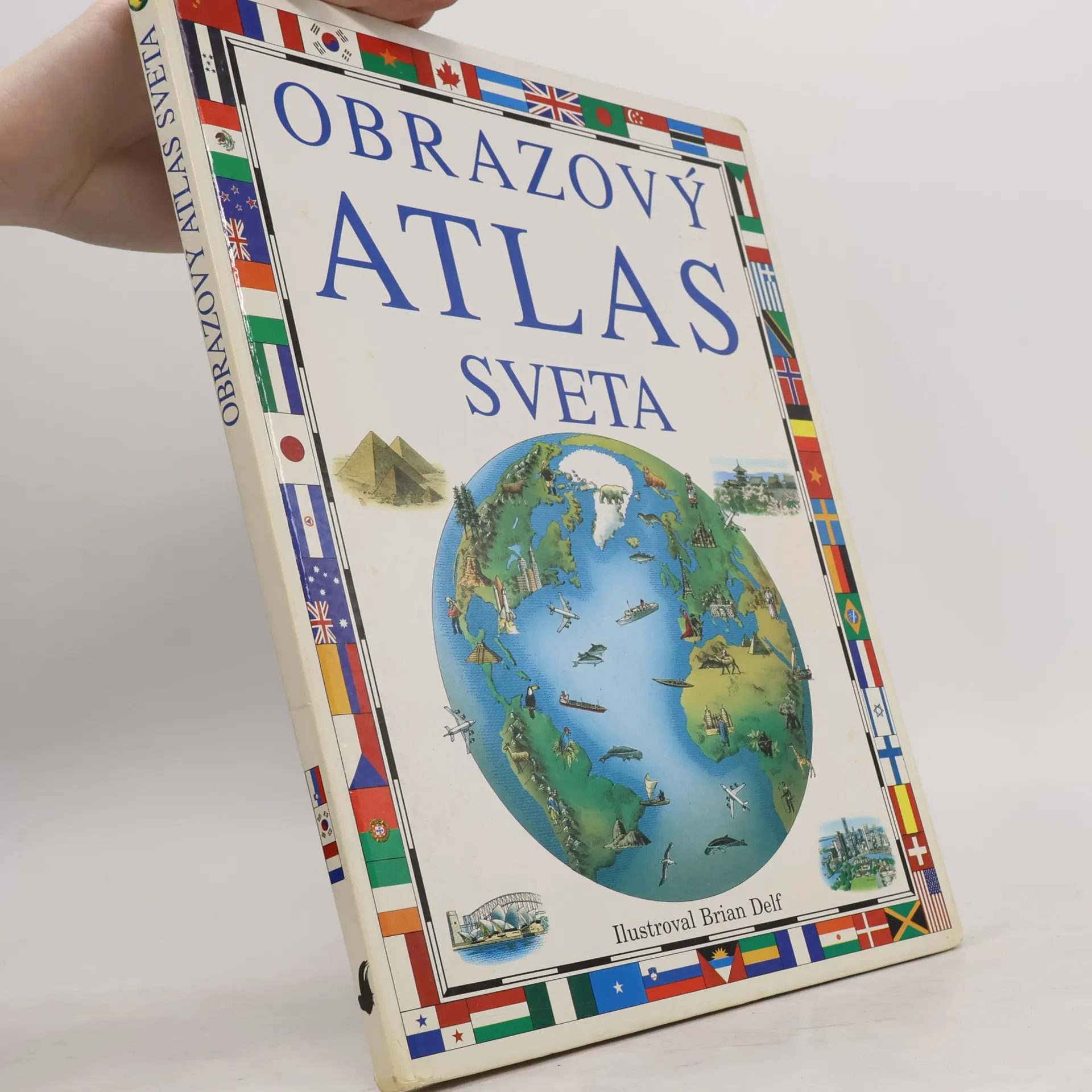
In diesem bunten Kinderatlas kann man buchstäblich mit dem Finger auf der Landkarte die ganze Welt bereisen und die tollsten Dinge entdecken. Auf Doppelseiten werden in großen, bunten Karten einzelne Länder, Ländergruppen oder Kontinente dargestellt. Diese zeigen außer Städten, Bergen, Flüssen und Grenzen in liebevoll gezeichneten Miniaturbildern auch typische Besonderheiten der Regionen wie Sehenswürdigkeiten, heimische Tiere, Haupterwerbszweige oder Sportarten. Hier kann man wirklich auf Entdeckungsreise gehen. Auf jeder Seite wird in einem Einleitungstext das Land oder die Region im Überblick vorgestellt, ein Infokasten gibt dazu detaillierte Angaben über Größe, Hauptstadt, Einwohner und Sprachen der jeweiligen Länder sowie über größte Städte, größte Berge, längste Flüsse etc. Abgerundet wird jede Seite durch ein Quiz, dessen Fragen die Neugier der Kinder wecken und sie zu genauem Schauen animieren sollen und gleichzeitig noch weitere spannende Informationen enthalten. Der bunte Atlas soll die Entdeckernatur der Kinder ansprechen, mit Infokästen und Register ist er aber auch ein erstes Nachschlagewerk, das auch auf die Arbeit mit dem Schulatlas vorbereitet.
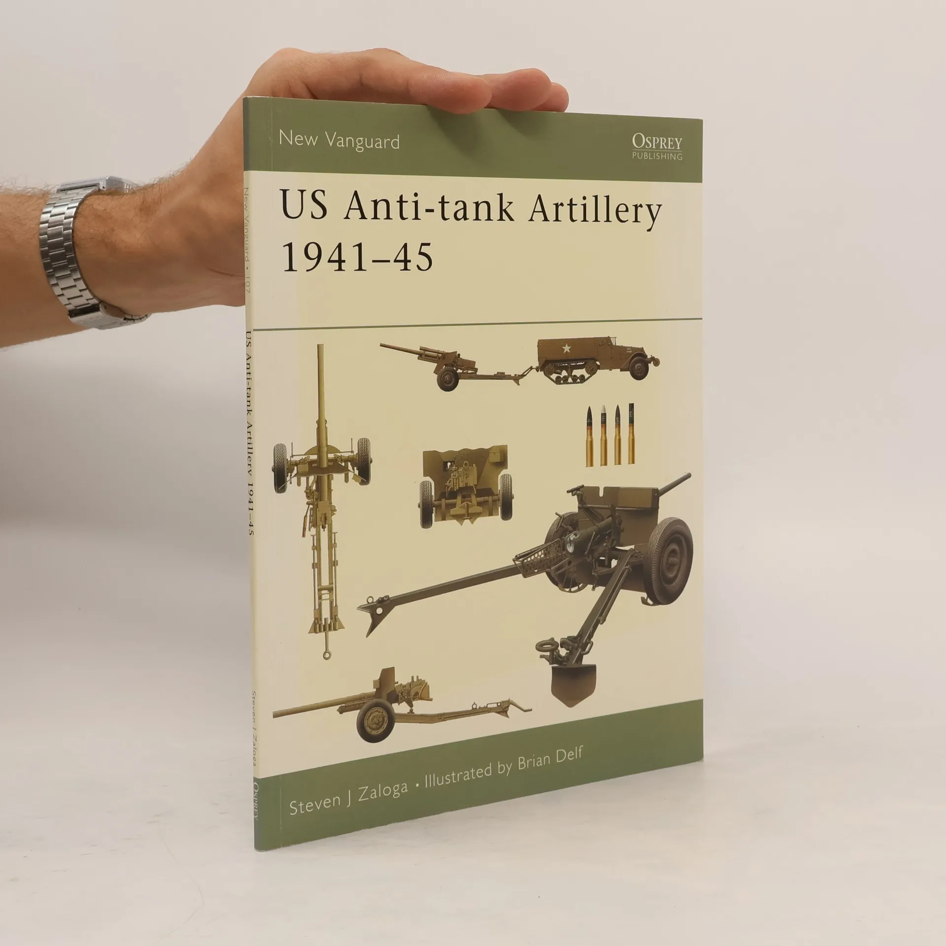
The US Army's development of the 37mm anti-tank gun began in response to needs identified during the Spanish Civil War. By the time it entered service in Tunisia in 1943, the gun was already obsolete, and the US began the licensed manufacture of the British 6-pdr in the hope of finding a quick solution to its artillery requirements. This in turn proved unequal to the demands of warfare in France in 1944, and further anti-tank measures were developed – rocket propelled grenades for infantry use, and weapons designed specifically for use by the Tank Destroyer Force.
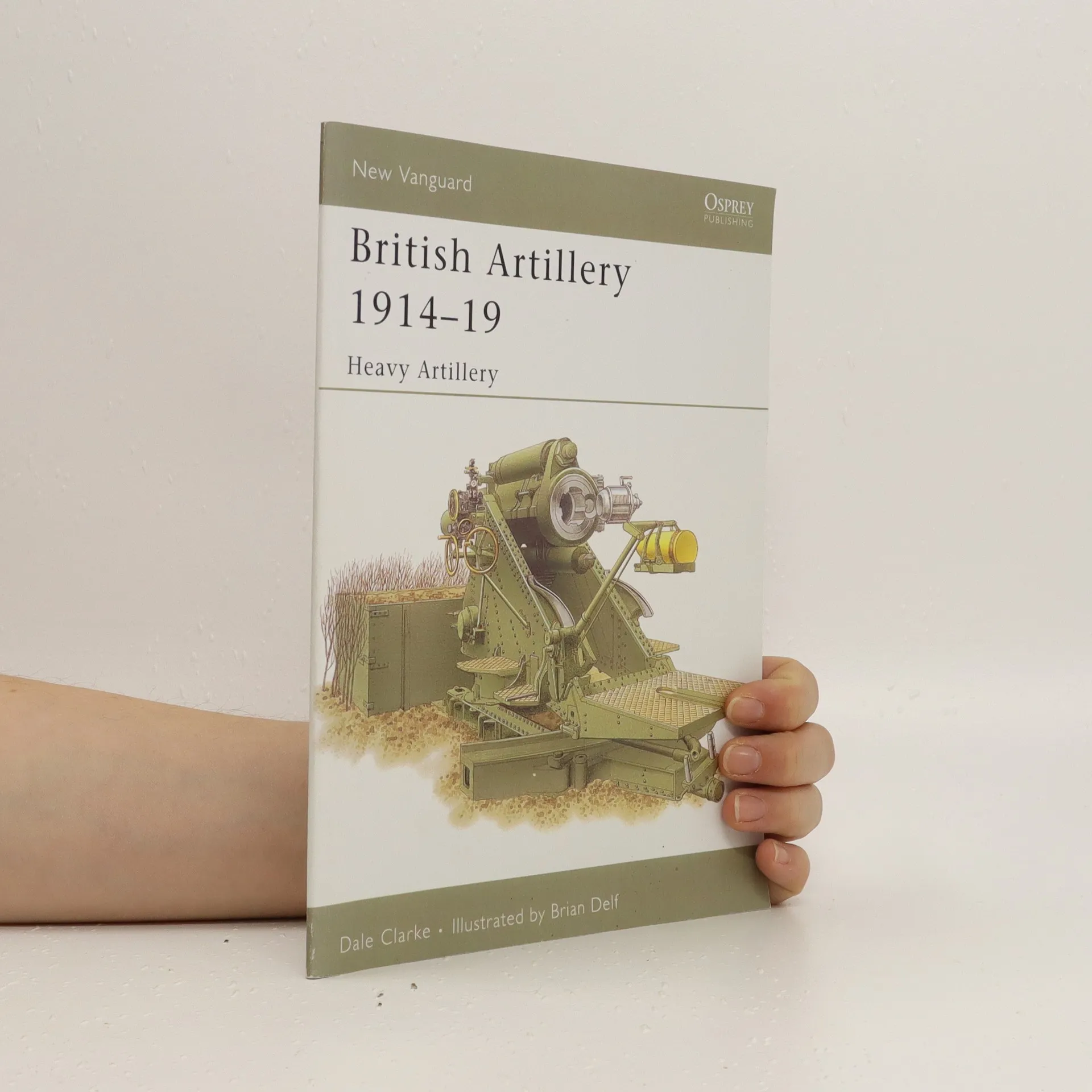
World War I is often deemed to have been 'a war of artillery', and British heavy artillery played a vital part in destroying the German trenches and providing invaluable cover for advancing troops on the Western Front. This book details the huge guns of the Royal Garrison Artillery, including the 6-in. siege gun and howitzer, the 8-in. howitzer, the 12-in. railway and siege howitzer and the infamous 9.2-in breech-loading siege howitzer. Camouflage and enemy battery locations and transport are covered, as well as tactics used and how the guns were developed and manned.
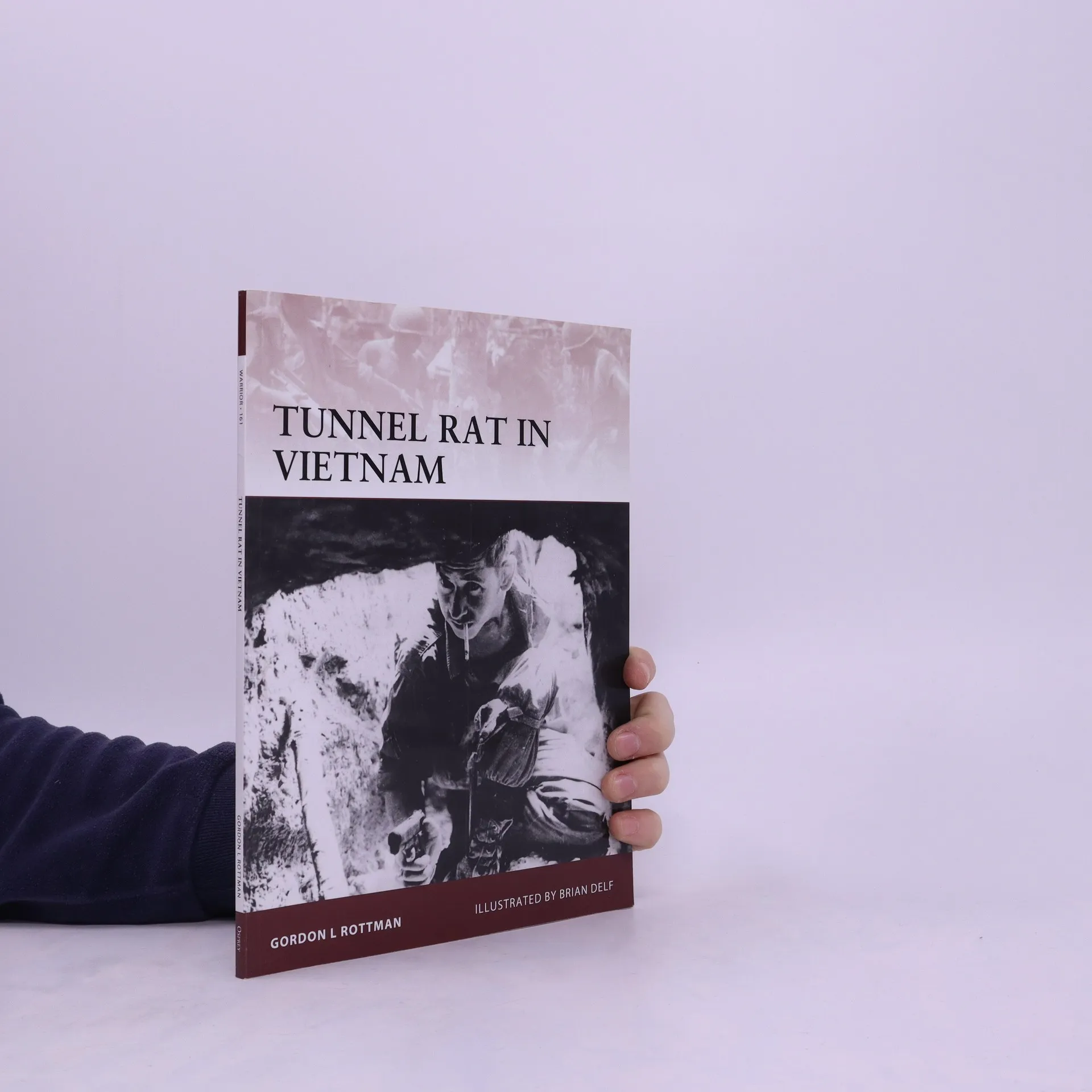
This title gives a detailed account of the development and deployment of the Tunnel Rats in the Vietnam War. The book highlights the special techniques and equipment developed for those who had to fight a claustrophobic and suffocating war underground
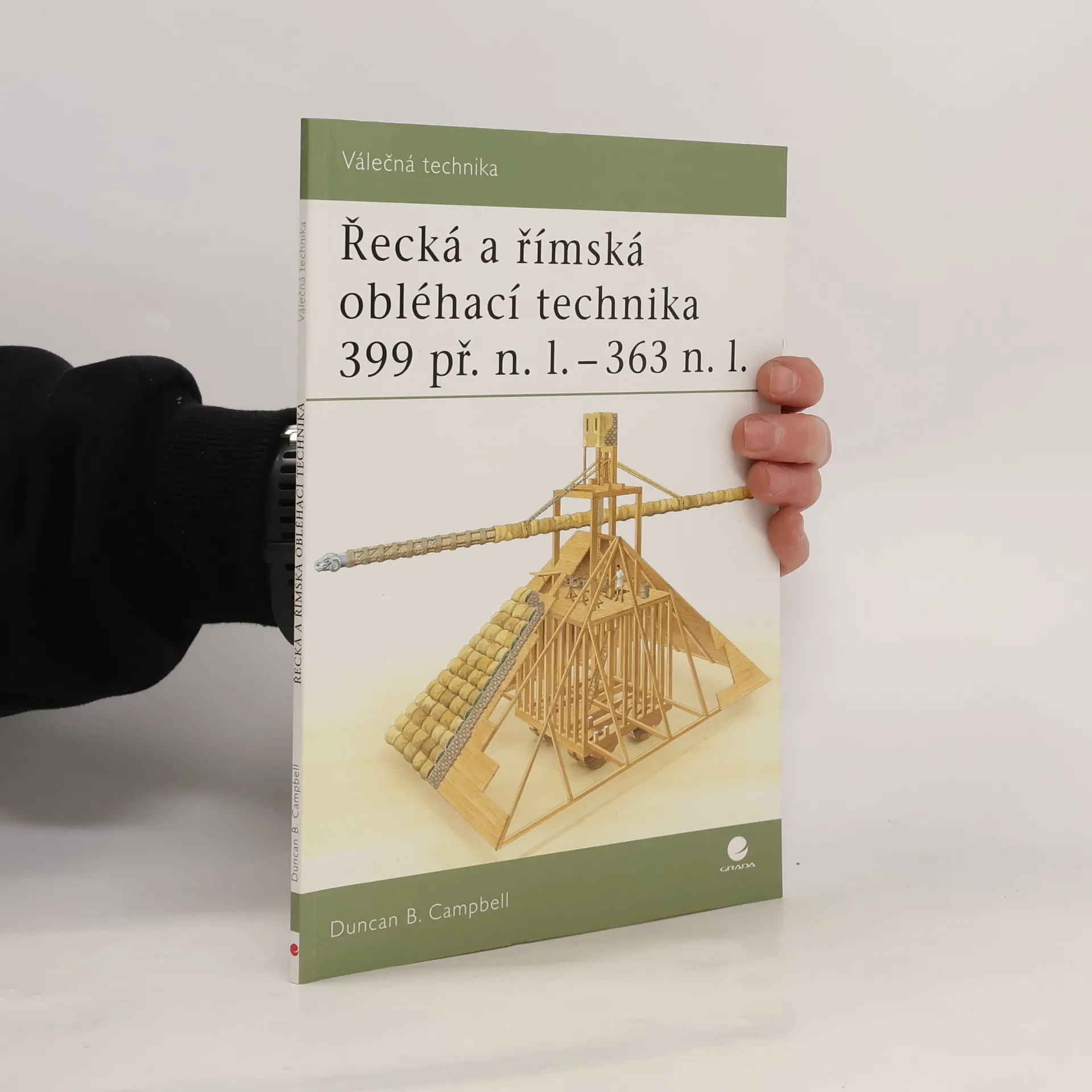
Tato publikace podrobně sleduje vývoj a použití nesmírně vynalézavé válečné techniky v podobě obléhacích věží a bořicích beranů, které s velkým úspěchem používaly starověké armády. Poprvé se tato technika objevila během kartaginského vpádu na Sicílii koncem 5. století př. n. l., po padesátileté přestávce se tyto válečné zbraně znovu objevily v makedonských armádách Filipa II. a Alexandra Velikého a nakonec byly počátkem 2. století př. n. l. zařazeny do římského arzenálu.
Velkoformátová kniha přibližující dětem i dospělým prostřednictvím krásných ilustrovaných map zeměpis slavných biblických území a míst. Doplňující poutavý text a kresby vzrušujícím způsobem oživují příběhy známé z Bible.
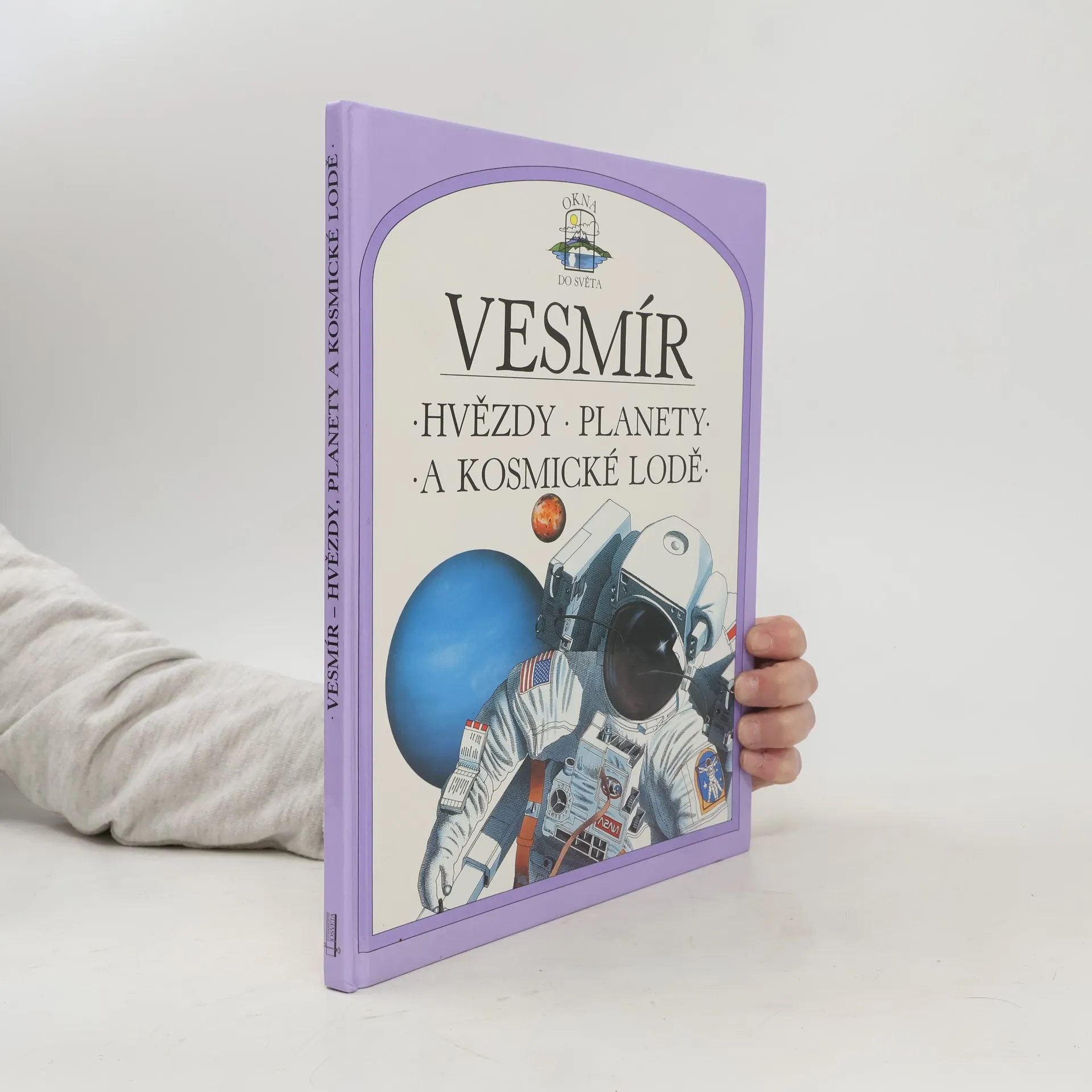
I když je výzkum vesmíru ještě stále jen na počátku, vědci činí díky rozvoji techniky další úžasné objevy. Kniha odráží stav dosavadního poznání vesmíru. Odhaluje nádherný svět zmrzlých planet, vybuchujících hvězd a černých děr, popisuje činnost družic, kosmických lodí a sond.
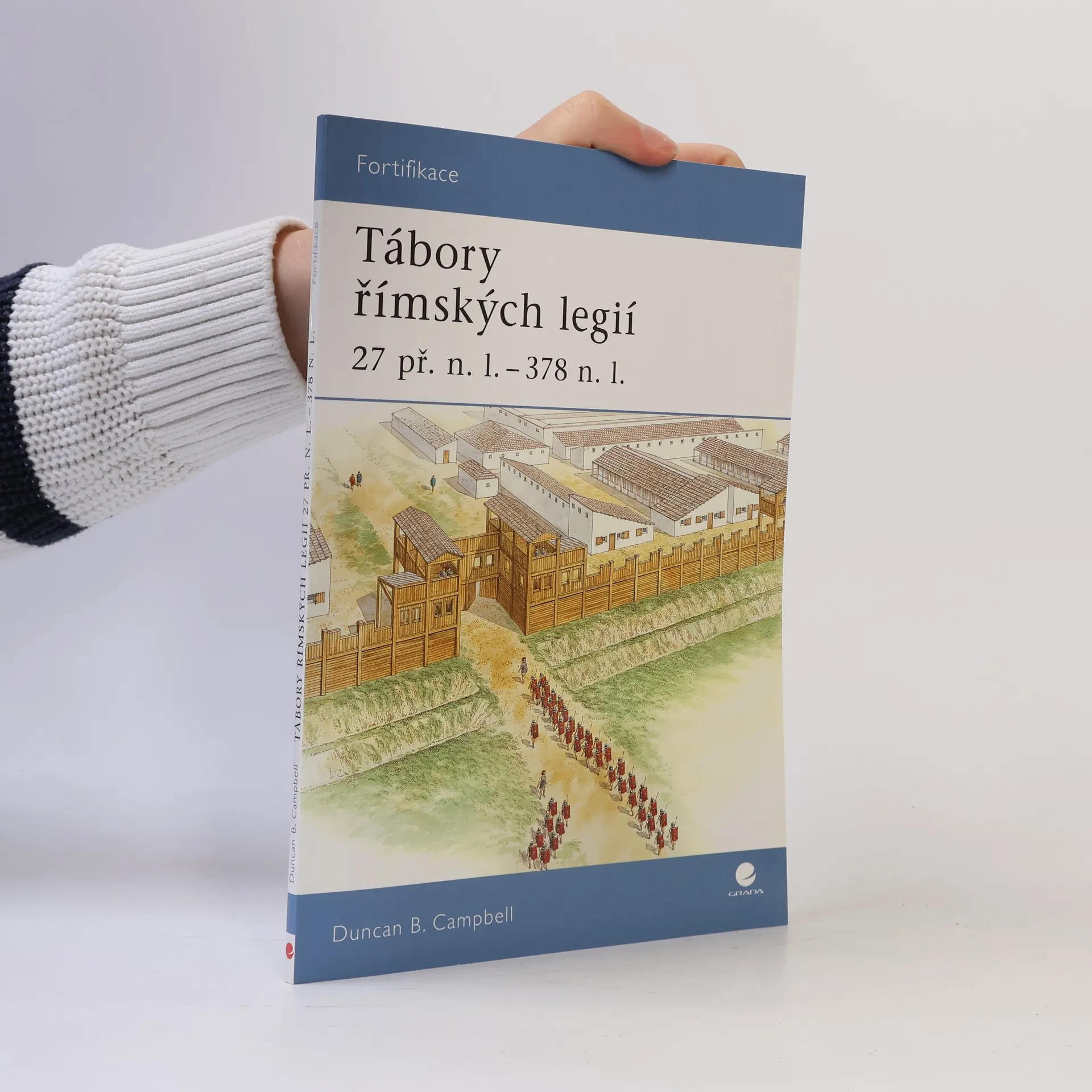
Zájemce o starověké římské dějiny jistě potěší, že se jim do rukou konečně v češtině dostává knížka, v níž naleznou podrobné informace o vzhledu a fungování táborů římských legií, které pokrývaly celou římskou říši. Seznámí se s podobou a vývojem táborů od dočasných dřevěných staveb po dokonalejší kamenné pevnosti během celého císařského období, dozví se, jak byly opevněny, jak vypadal velitelův hlavní stan i ostatní budovy, jako dílny, kanceláře, nemocnice, obilnice, lázně, tělocvična, jaké prostory obýval velitel a ostatní důstojníci a jak bydleli prostí vojáci. Čtenář získá při četbě plastický a zevrubný obraz, jaký byl život legionářů. Text doprovází velké množství schémat, kreseb a fotografií z míst, kde tyto tábory stály a kde dodnes najdeme po nich četné pozůstatky.