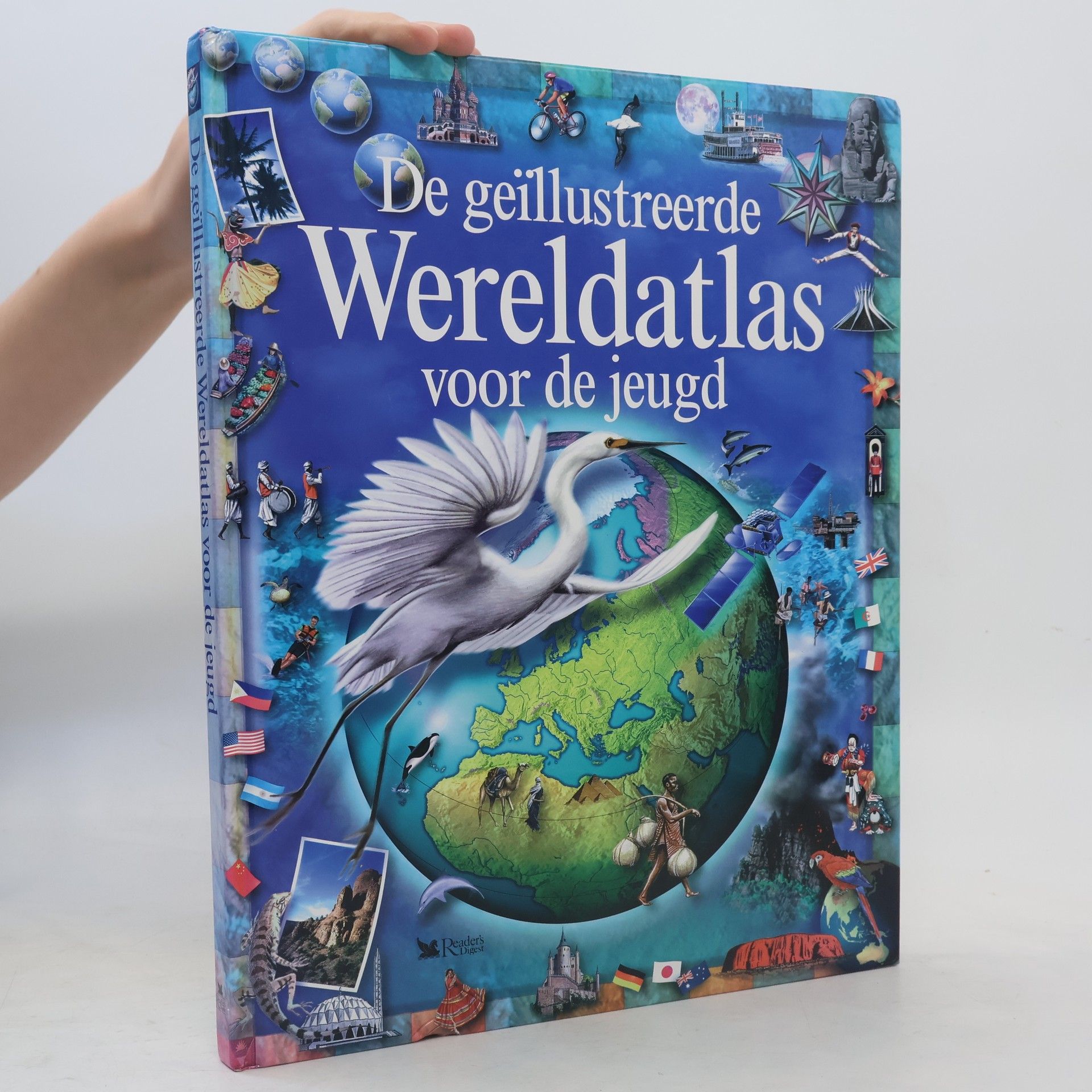
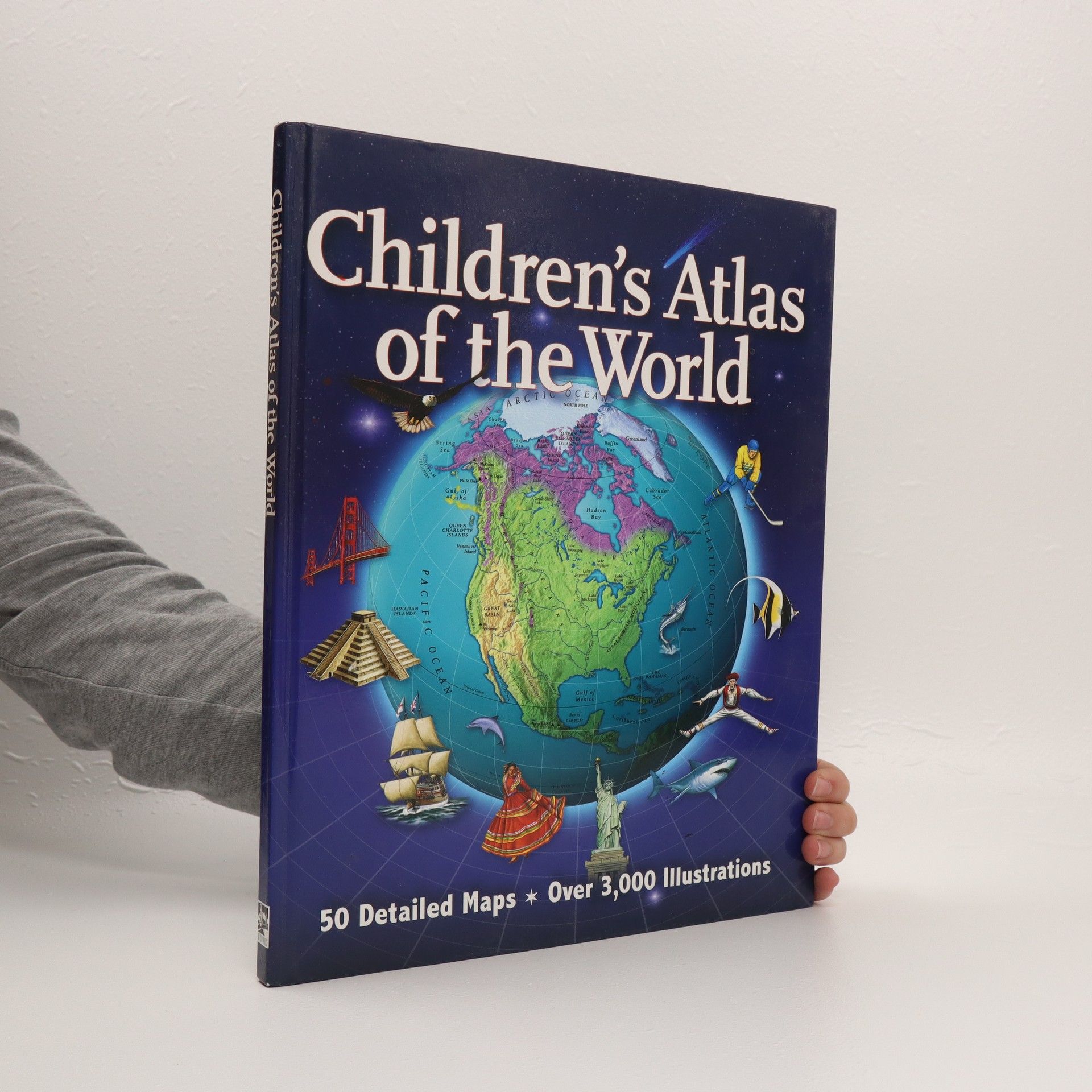
Includes more than fifty maps; a fact file on each country and territory; illustrations of places, people, landscapes, and wildlife; an introduction to map making and map reading; projects; activities; and quizzes.
Colin Sale Bücher


De geïllustreerde wereldatlas voor de jeugd
- 128 Seiten
- 5 Lesestunden
Vanaf ca. 10 jaar.