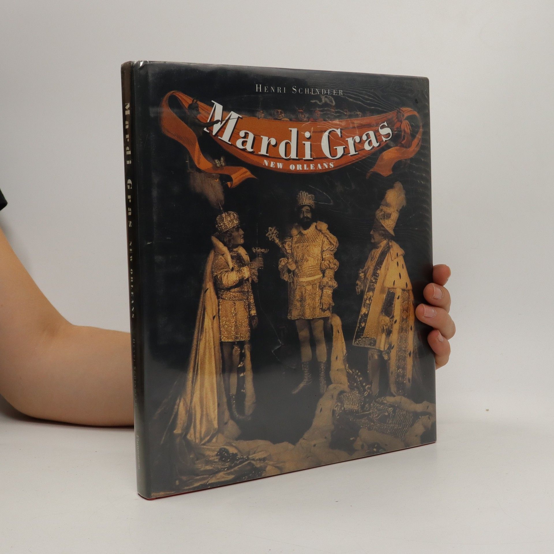
From Twelfth Night (6 January) to Mardi Gras, New Orleans lives for her Carnival - a brilliant season of balls, revelry, costuming, and parades. Carnival artist and historian Henri Schindler offers a stunning panorama of Mardi Gras' evolution and its exuberant diversity - the early Creole cavalcades; the torchlit processions of the Mistick Krewe of Comus; the rise of Rex, King of the Carnival; fabulous tableaux balls, Carnival royalty; Storyville and the Baby Dolls; Les Mysterieuses, the first female society; and African-American creations - the Zulu Social Aid and Pleasure Club, and Mardi Gras Indians.
Henri Schindler Bücher


Mardi Gras Treasures: Jewelry of the Golden Age
- 160 Seiten
- 6 Lesestunden
Focusing on the artistry of Mardi Gras, this final installment of the Mardi Gras Treasures Series delves into the exquisite craftsmanship of scepters, crowns, mantels, and krewe favors from Carnival's Golden Age. These unique keepsakes, adorned with brilliant rhinestones, serve as cherished gifts that krewe members offer during the celebration, embodying the intricate details and traditions of Mardi Gras. Each piece reflects the grandeur of the event, showcasing the creativity and dedication involved in this vibrant cultural celebration.