
Ausverkauft, aber heiß begehrt!

Mehr zum Buch
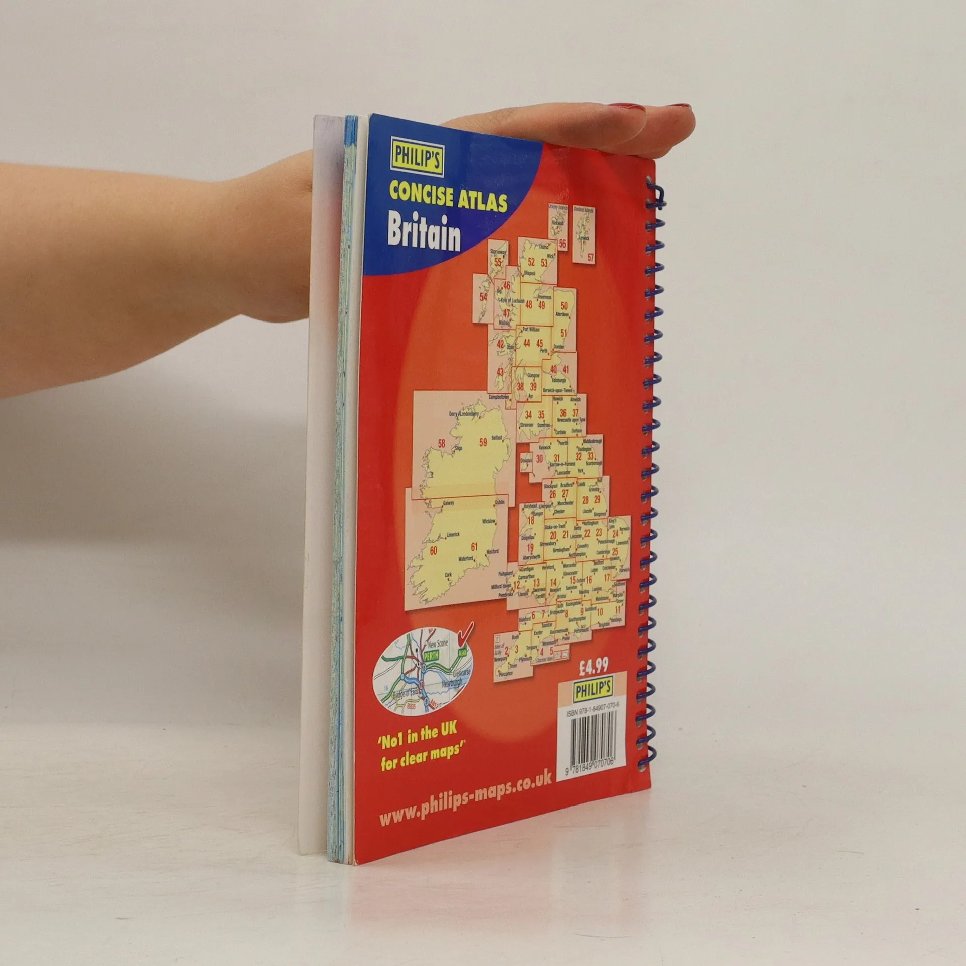
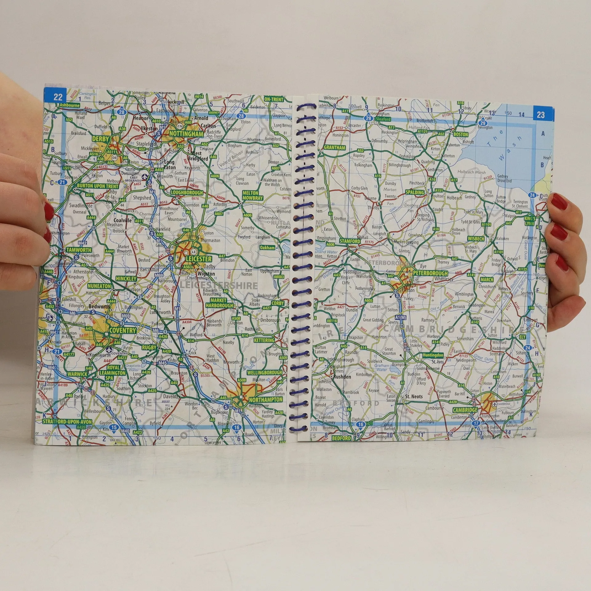
'Philip's Concise Atlas Britain' contains 56 pages of road maps covering Britain at a scale of eight miles to one inch, with Ireland at a scale of 18 miles to one inch. The maps clearly mark all motorways, primary roas and A roads, with national parks, areas of outstanding beauty and hill shading also included.
Buchkauf
Concise Atlas Britain, Autorenkollektiv
- Sprache

- Erscheinungsdatum
- 2010
- product-detail.submit-box.info.binding
- (Spiralbindung)
Wir benachrichtigen dich per E-Mail.
Keiner hat bisher bewertet.
- Titel
- Concise Atlas Britain
- Sprache
- Englisch
- Autor*innen
- Autorenkollektiv
- Verlag
- Philip's
- Erscheinungsdatum
- 2010
- Einband
- Spiralbindung
- Seitenzahl
- 80
- ISBN10
- 1849070709
- ISBN13
- 9781849070706
- Reihe
- Schlagwörter
- Sachbücher, Karten & Reisen, Karten & Atlanten
- Beschreibung
- 'Philip's Concise Atlas Britain' contains 56 pages of road maps covering Britain at a scale of eight miles to one inch, with Ireland at a scale of 18 miles to one inch. The maps clearly mark all motorways, primary roas and A roads, with national parks, areas of outstanding beauty and hill shading also included.