Philips' Illustrated Atlas of the World
- 208 Seiten
- 8 Lesestunden


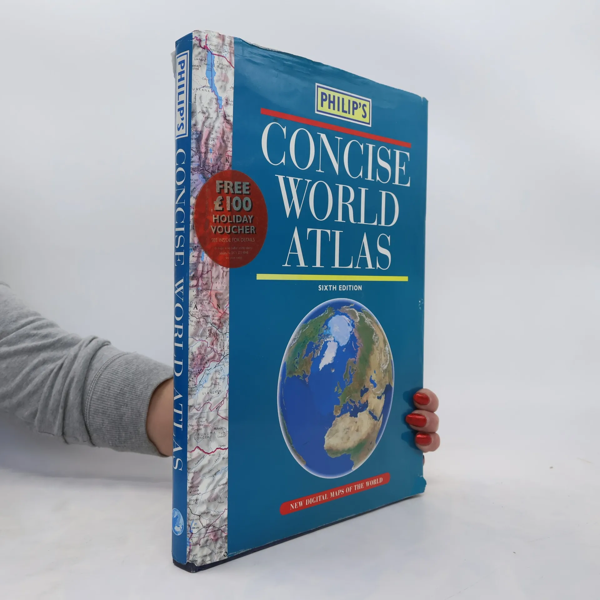
'Philip's Concise World Atlas' is suitable for home and family reference and contains 128 pages of fully revised topographic and political maps. Also included are six pages of world statistical data, plus a 48-page section, 'The Earth In Space'.
Philip's Concise World Atlas is ideal for home and family reference. The 128 pages of the latest digital world maps provide a balanced coverage of the world. Scales and projections have been chosen to maximise legibility and minimise distortion over the largest regions. Each map is accompanied by a locator diagram and adjoining pages indicator. Fully updated for 2001, Philip's Concise World Atlas includes 6 pages of detailed world statistical data, plus the superb 48-page section 'The Earth in Space'. Beautifully illustrated with informative photographs, maps and diagrams, this section covers such topics as the Universe, star charts and constellations, the Solar System and Earth, earthquakes and volcanoes, forces of nature, oceans and ice, atmosphere and climate, natural environments, population, international organizations, agriculture, energy and minerals, trade and commerce, world economics, travel and communications, and the world today. A glossary of terms is also included for ease of reference. The 55,000-name index includes geographical features as well as towns and cities, with letter-figure grid references for speed and accuracy of use. Also included is a special map highl
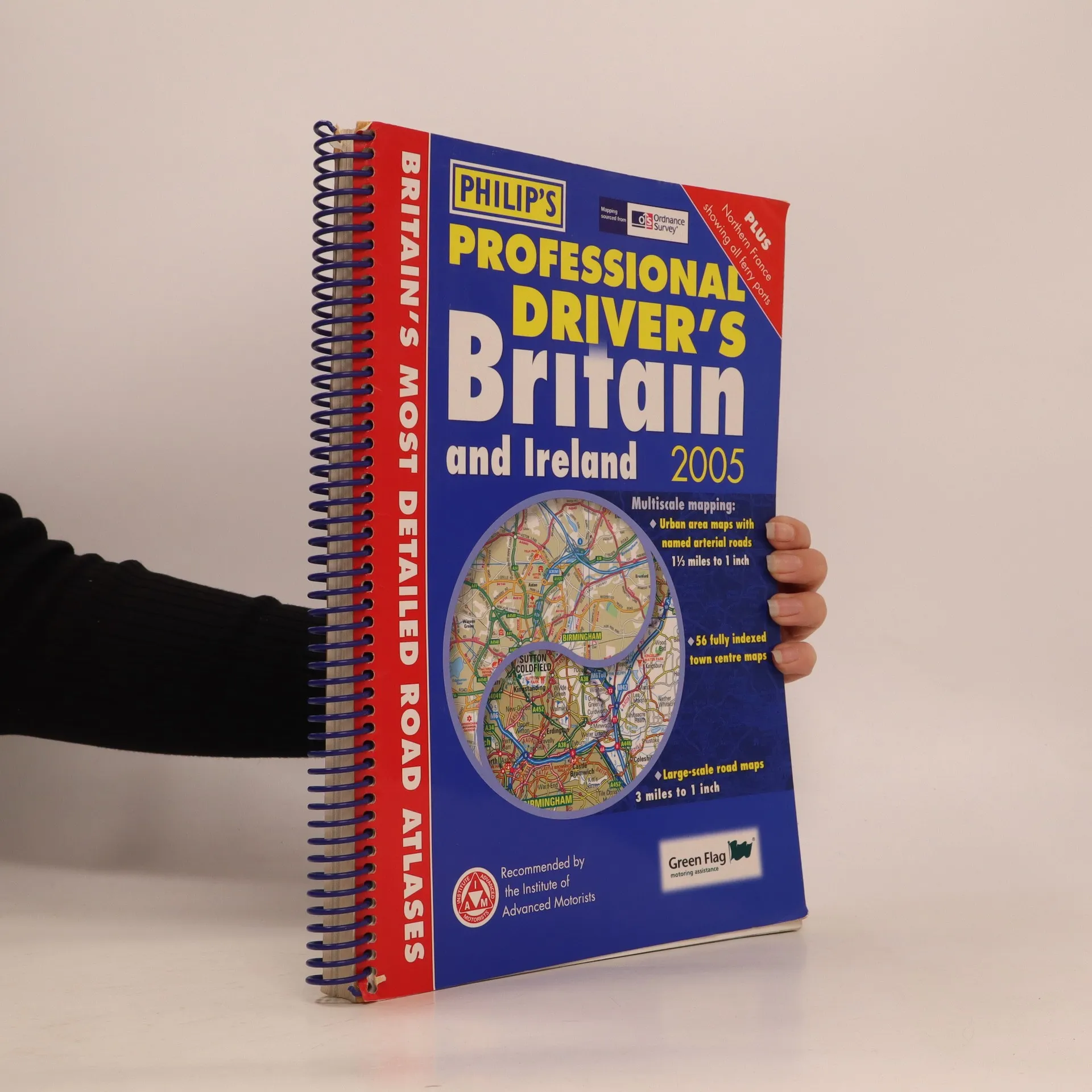
This exceptionally detailed atlas provides the increased level of information demanded by commercial drivers, whether of cars, vans or trucks. Especially worth noting are the indexed town plans and the coverage of Ireland, which is significantly better than any comparable road atlas. The 96 pages of standard-scale mapping cover Britain at 3 miles to 1 inch (north Scotland at 5 miles to 1 inch). More detailed mapping includes 56 fully indexed Town Centre Maps (including four in Ireland) plus ultra-clear approach maps with named arterial roads for 8 major cities: Birmingham, Edinburgh, Glasgow, Leeds, Liverpool, London, Manchester, and Newcastle. Also included are detailed airport plans for Heathrow, Gatwick and Manchester, plus port plans of Dover, Felixstowe, Portsmouth, and Southampton. Ireland is covered by seven pages of mapping with its own index. Across the channel, a full page map shows Calais and Boulogne town centres ad the surrounding area, and a double page map shows the full extent of the northern French coast including all ferry ports.
Gives comprehensive coverage of London. This atlas includes maps of central London, 18-page route planner, and the street maps. It also contains comprehensive index lists street names and postcodes, and schools, hospitals, railway stations, shopping centres and other features. It is suitable for both drivers and pedestrians.
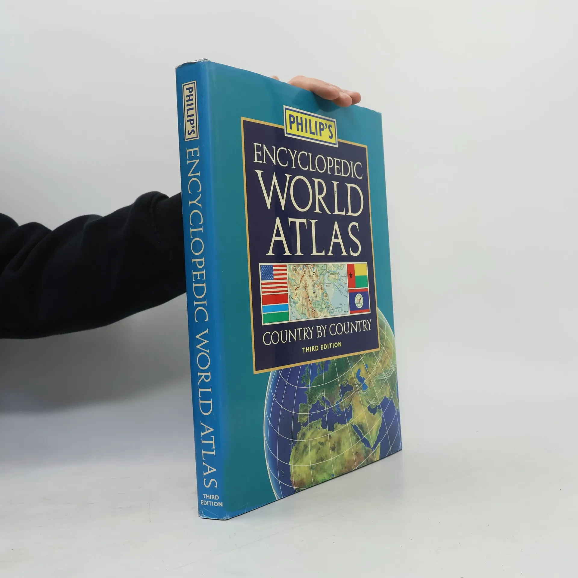
This atlas contains full-colour maps, detailed gazetteer entries and up-to-date statistics for every country in the world. The main body of the atlas is organised by continents, with information on the landscape, climate, history and politics of each country.
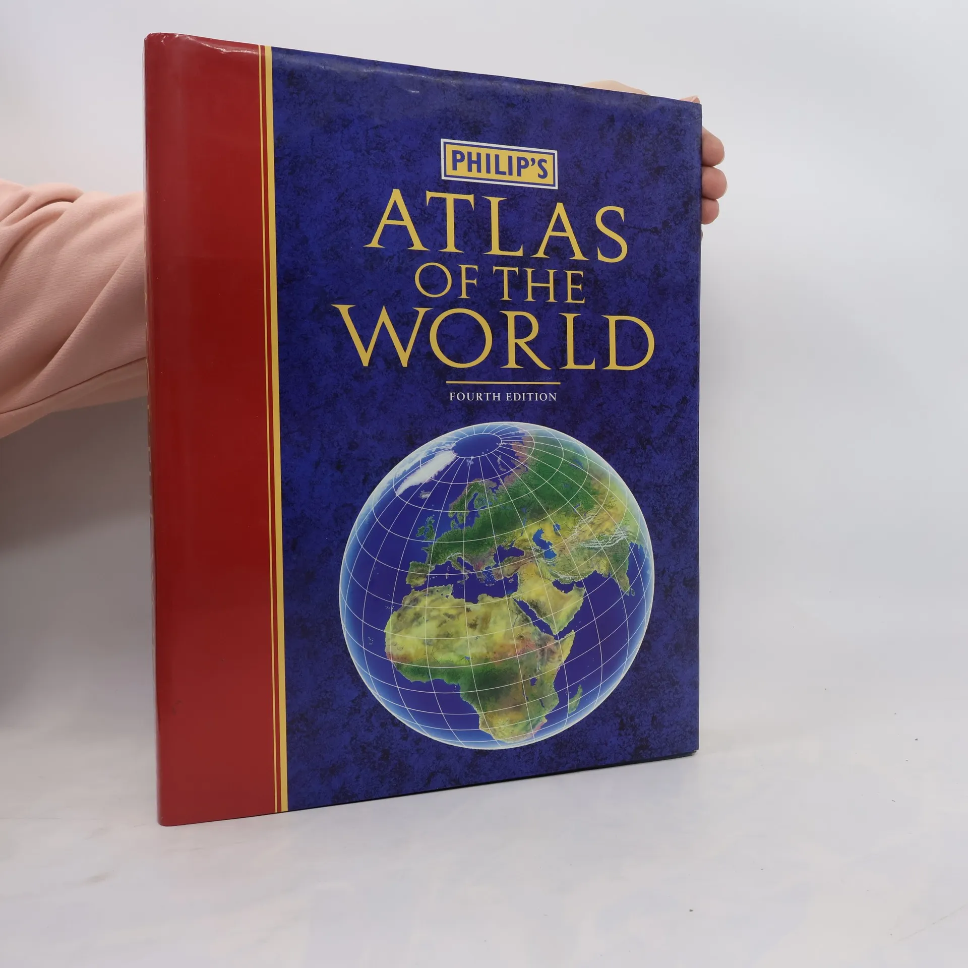
This reference atlas of the world contains 160 pages of physical and political mapping, selected to provide balanced coverage of the continents while giving prominence to densely populated areas. It also includes an introduction to world geography, containing maps, charts, graphs and diagrams.
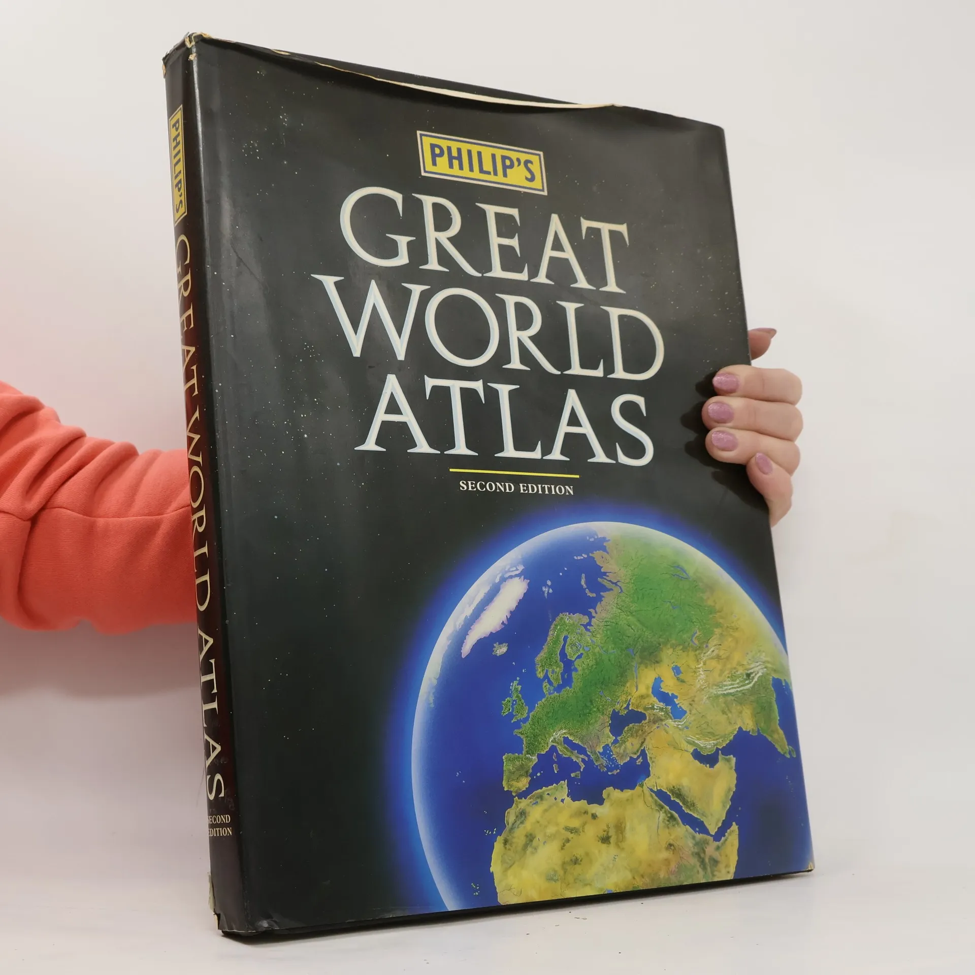
Philip's Great World Atlas comes in a superb presentation slipcase for the first time, and contains accurate, authoritative mapping ideal for home and business reference. Includes a special map highlighting key regions currently making news history, including the former Yugoslavia, the Near East, Taiwan and Mainland China.
French