The Times Bücher
Die Times ist eine britische Tageszeitung mit einer reichen Geschichte, die bis ins Jahr 1785 zurückreicht. Seit ihrer Gründung hat sie sich als bedeutende Quelle für Nachrichten und Analysen etabliert. Sie konzentriert sich konsequent auf tiefgehende Berichterstattung und durchdachte Kommentare, die den Lesern eine einzigartige Perspektive auf die Welt bieten. Ihr redaktioneller Ansatz ist bekannt für seine Ernsthaftigkeit und sein Engagement für sachliche Genauigkeit.

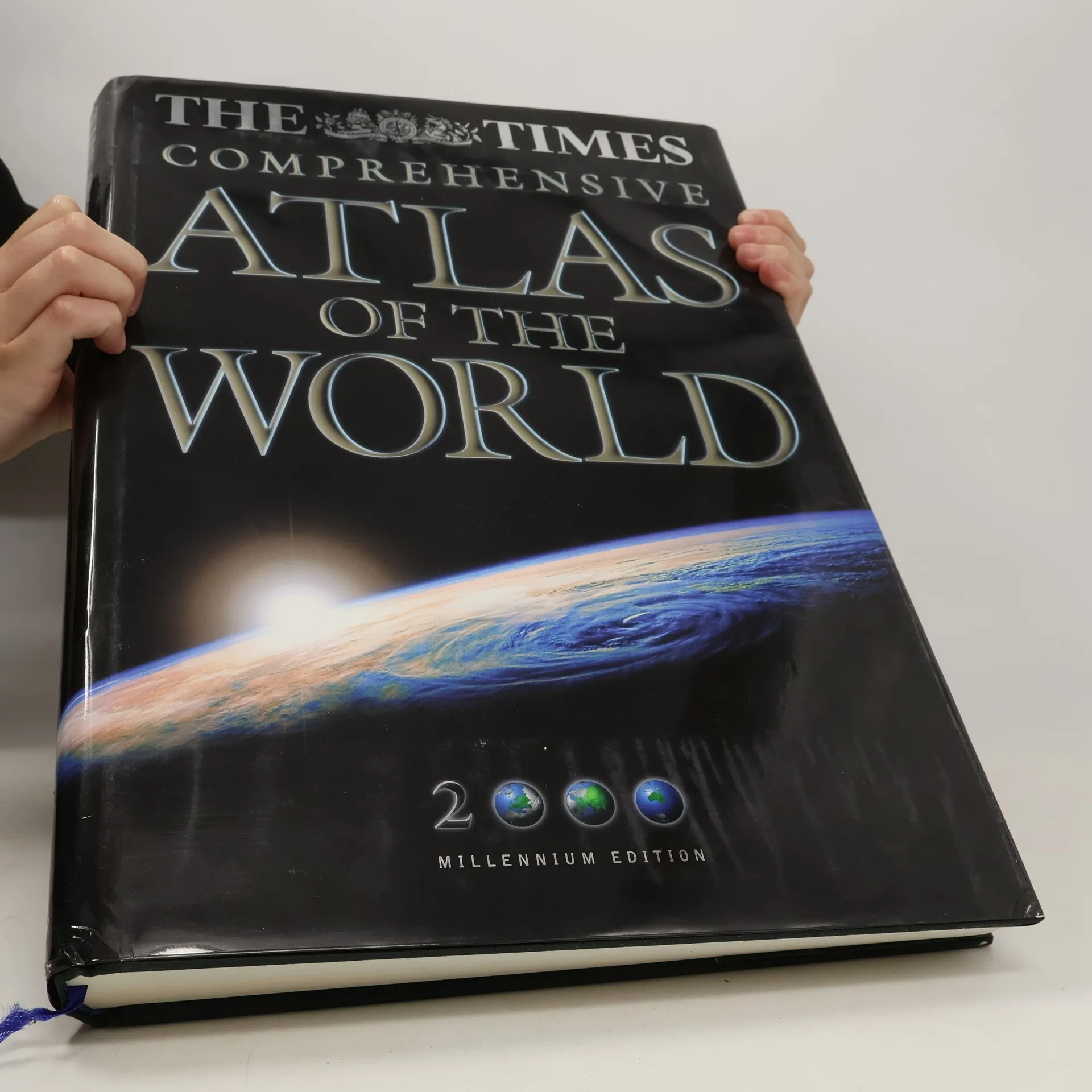
The Times comprehensive atlas of the world
- 544 Seiten
- 20 Lesestunden
A completely up-to-date edition, this text includes more reference maps and satellite images, and features many more bigger pages and a comprehensive index.
Times Atlas of the World
- 225 Seiten
- 8 Lesestunden
An atlas of the world which provides other information, such as detailed maps of energy use, minerals, vegetation, population density, food production and climate as well as sections on the stars, the solar system and the cosmology of the universe.
Follow the development, decline and later revival of Britain's Railways from bestselling railway author Julian Holland. The history is told through commentary, photographs and archive material from a lifetime of railway research. Britain's railways have claimed many world firsts, ranging from Richard Trevithick's Penydarren of 1802 (the first steam railway locomotive), George Stephenson's Stockton & Darlington Railway of 1825 (the first public railway) and his Liverpool & Manchester Railway (the first inter-city railway) to Nigel Gresley's iconic streamlined locomotives of which Mallard holds the world speed record for steam of 126mph achieved in 1938. Chapters include: * In the Beginning (1603-1825) * The first intercity and trunk railways (1826-1840) * Expansion and Railway Mania (1841-1850) * The Great Victorian Age (1850-1900) * The early 20th century (1901-1922) * The Big Four, streamliners and war (1923-1947) * Nationalisation, rationalisation and modernisation (1948- 1963) * Dr Beeching, contraction and the end of steam (1963-1993) * Privatisation and High-speed (1993 onwards).
This atlas, the 'New Generation Edition' of the 'Times Atlas of the World', features entirely new mapping. Based on extensive research, this atlas includes the latest information from around the world and incorporates computer generated mapping of unrivalled accuracy and depth of detail. - 96 pages of up-to-date reference maps - 46 maps featuring the world's greatest cities - country by country gazetteer illustrated with national flags for all states and territories - magnificent physical maps of the continents, maps on earthquakes and volcanoes, climate, vegetation, population and energy - index of over 45,000 place names
Atlas of the World
- 216 Seiten
- 8 Lesestunden
"All the maps have been completely revised and provide accurate and detailed coverage of the whole world. The introductory section has also been fully updated to present a portrait of today's world and major geographical themes. It includes sattelite images if the continents, revised plans of forty-four of the world's major cities, and information on earthquakes and volcanoes, climate and the environment, population and urbanization."--Jacket
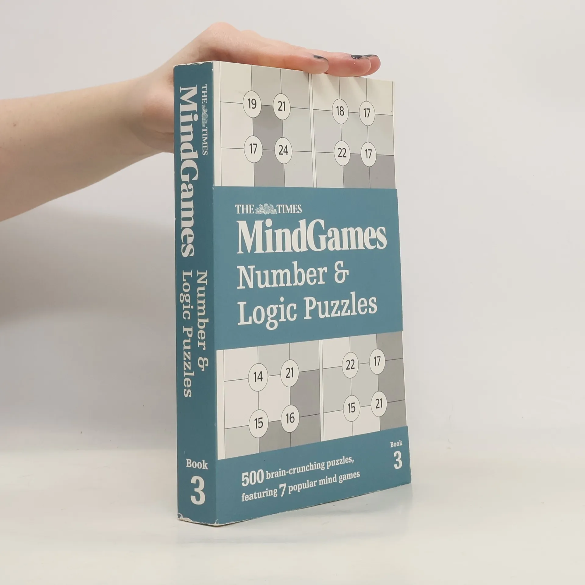
The Times Mind Games Number and Logic Puzzles Book 3
- 384 Seiten
- 14 Lesestunden
Test your powers of logic and mental agility with this latest mixed collection of 500 number and logic puzzles from the MindGames section of The Times, featuring 7 different puzzles.