Highly illustrated, full colour book showcasing what is unique about the North
Coast 500. Striking images and descriptive text of the best places to visit
are shown along with a simple route map showing locations.
Explore Ireland with this accurate and fully updated road atlas. This road
atlas is at A4 size, covering the whole of Ireland and features clear and
detailed Collins colour mapping at a scale of 5.2 miles to 1 inch. Perfect for
both residents and visitorstouring Ireland.
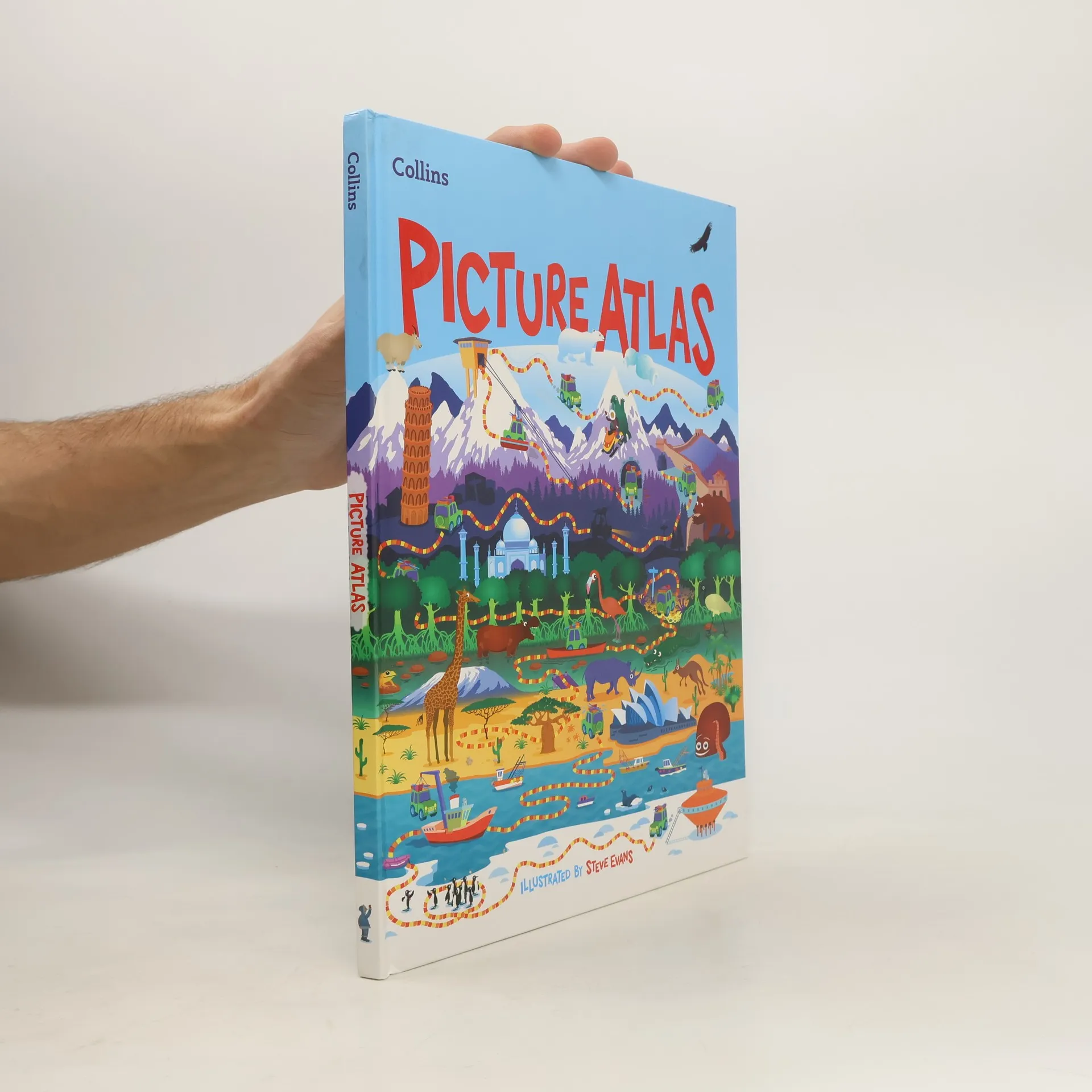
The must-have atlas for children aged 7-11 Collins Primary Atlas is a great
introduction to mapping of the UK, Europe and all major regions of the world.
It supports the Key Stage 2 curriculum and is suitable for children aged 7-11
years.
Discover Scotland's ancient monuments and castles. Explore Scotland’s ancient
monuments with this pictorial map featuring over 700 castles and fortified
houses. Includes an easy-to-use index listing visitor information and an
attractive selection of photographs.
Explore new places with this up-to-date map of Scotland. Best-selling map of
Scotland. More than 1,000 places of tourist interest plotted and named on the
map. The features have been plotted onto an up-to-date and attractive Collins
map of Scotland.
The ultimate 3.2 miles to 1 inch scale large format paperback road atlas of
Britain, featuring Collins' popular and well established road mapping, and
designed for exceptional clarity and ease of use.
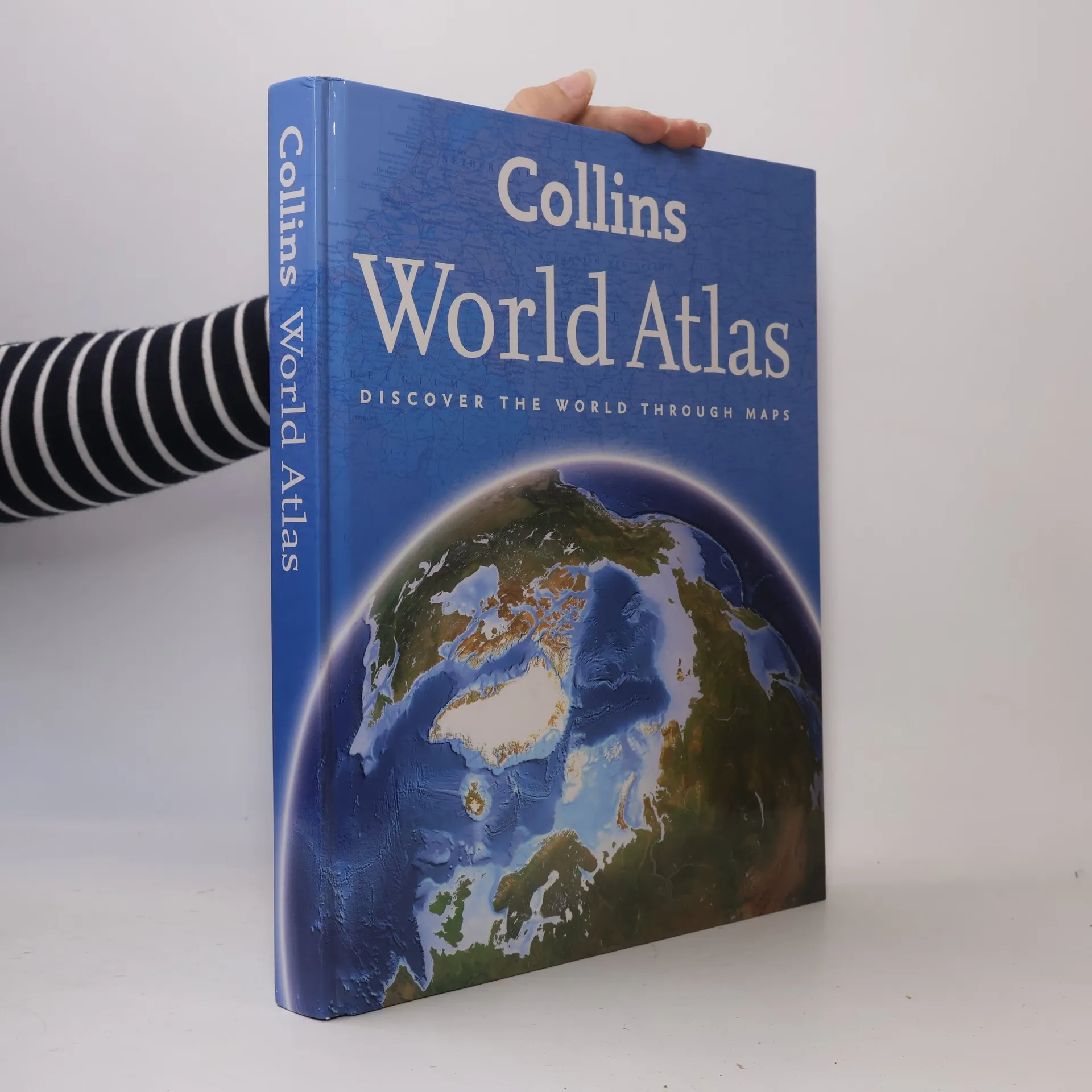
The flagship title in the Collins World Atlas series gives a full picture of the Earth through the use of maps, satellite images, space and aerial photography, 3-D terrain models, and graphics. These features are further enhanced by fact boxes and internet links on each topic. This atlas presents a complete view of the world, bringing it to life through innovative maps, stunning images, and detailed content, offering an exciting perspective on how the planet is made up, how it looks, and how it works. A wide range of topical issues are covered including natural disasters, population, climate, and the environment. Key country statistics allow comparisons of their state of development and an understanding of today's world. Thousands of facts and statistics include world and continental ranking tables as well as a dictionary of geographical facts with all key concepts and terms explained.
Bag the perfect GCSE Atlas this Back to School. Fully revised and updated for
2021, this curriculum-supportive world atlas is the perfect tool for students
aged 14-16 years (Key Stage 4, GCSE 9-1).
Explore 100 extraordinary locations in Ireland. Sally and John McKenna, travel
and food writers and authors of IRELAND THE BEST, have selected 100
extraordinary places that epitomize what is truly great about Ireland. This
personal and diverse compendium is illustrated with beautiful and evocative
images.
This atlas, at A5 size, contains mapping of the whole of Ireland at 9 miles to 1 inch (1:570,240). The mapping is beautifully designed with color classified roads and subtle layered height tinting.The atlas is ideal for residents, visitors and tourists alike.Key features of the atlas • All Ireland route planning maps• Town centre plans• Places of interest including TV and film locations such as Game of Thrones, Star Wars and Harry Potter• Blue Flag and Green Coast beaches map• List of tourist information centres• Full index to place names and places of interest• Information on airports, ferries and radio station• Mileage chart
Explore new places with handy pocket maps from Collins. Handy little full
colour map of the Orkney Islands in Scotland. Detailed mapping and tourist
information for Orkney mainland, Westray, Sanday, Stronsay, Shapinsay, Hoy,
South Ronaldsay and the other islands. Excellent value and very detailed for
its size.