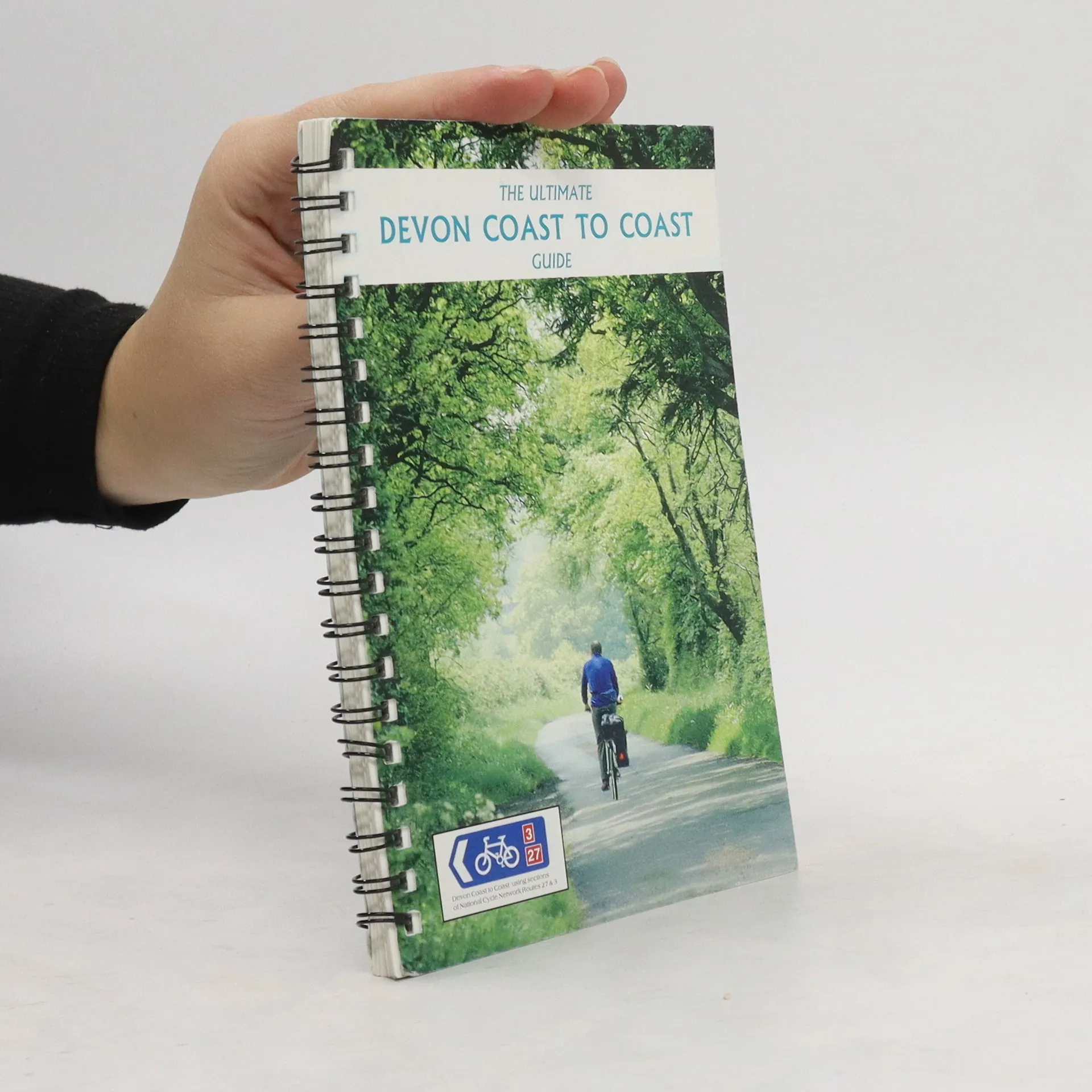
This revised map to Lincolnshire and the Wolds is in the series of pocket sized, folded maps to the National Cycle Network which include clearly mapped on-road and traffic-free paths, easy to read contours and detailed town insets. 1:110,000 scale; folded 155mm x 99mm; flat 792mm x 630mm.
Sustrans Bücher


This revised map to mid-Wales south is in the series of pocket sized, folded maps to the National Cycle Network which include clearly mapped on-road and traffic-free paths, easy to read contours and detailed town insets. 1:110,000 scale; folded 155mm x 99mm; flat 792mm x 630mm.
This revised and updated cycle map to South East Wales is in the series of pocket sized, folded maps to the National Cycle Network which include clearly mapped on-road and traffic-free paths, easy to read contours and detailed town insets. Published by Sustrans at 1:110,000 scale; folded 155mm x 99mm; flat 792mm x 630mm.
The official route map for the 99-mile (158km) Devon Coast to Coast cycle route between Ilfracombe and Plymouth.
This revised and updated Devon cycle map is in the series of pocket sized, folded maps to the National Cycle Network which include clearly mapped on-road and traffic-free paths, easy to read contours and detailed town insets. Published by Sustrans at. 1:110,000 scale; folded 155mm x 99mm; flat 792mm x 630mm.
This revised map of London is in the series of pocket sized, folded maps to the National Cycle Network which include clearly mapped on-road and traffic- free paths, easy to read contours and detailed town insets. Published by Sustrans. 1:110,000 scale; folded 155mm x 99mm; flat 792mm x 630mm.