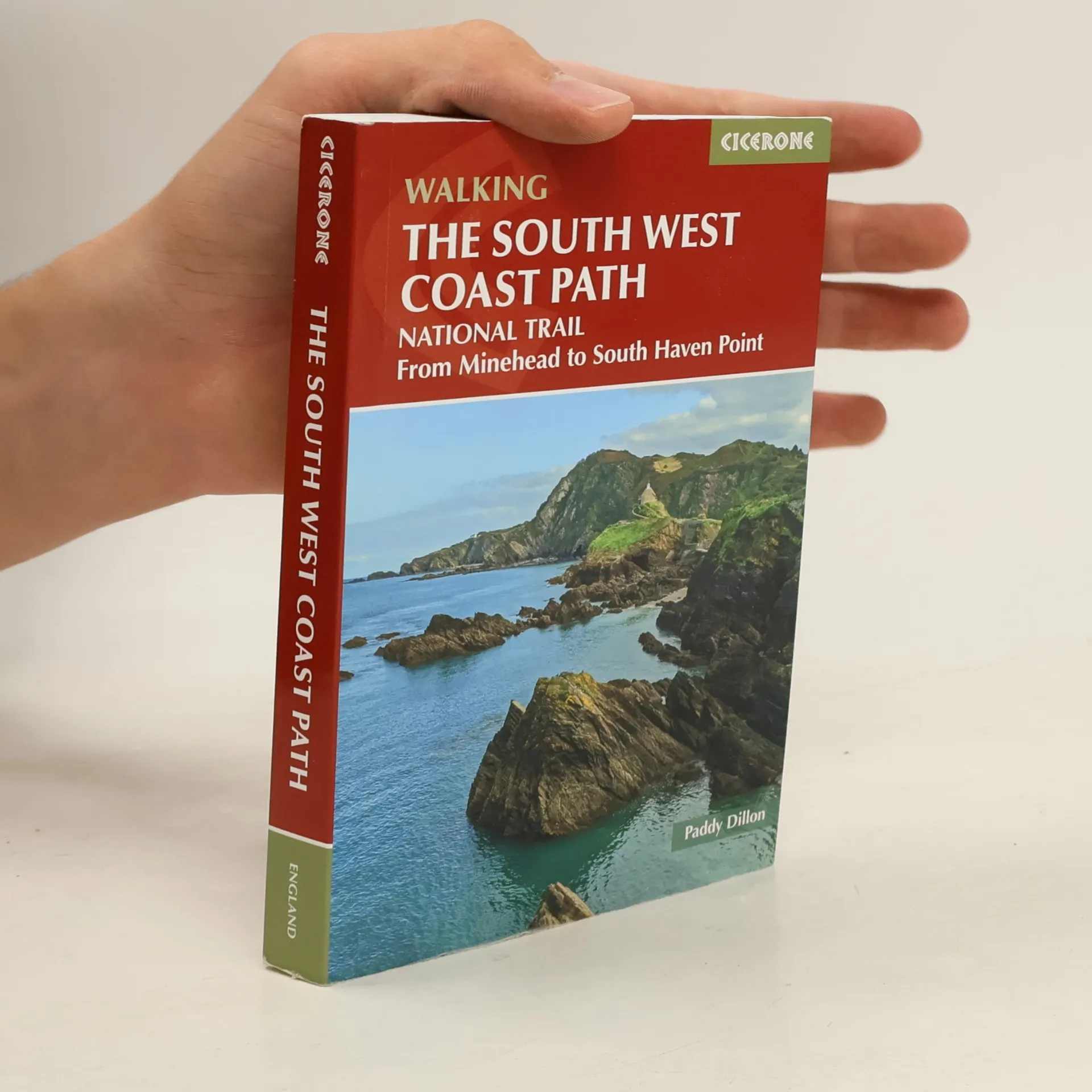
Guidebook to walking the entire South West Coast Path National Trail. The route stretches 630 miles from Minehead to Poole along the north Devon, Cornish, south Devon and Dorset coastline. Divided into 45 stages, this national trail could be completed within 4 weeks, or walked in sections. Guide includes maps and essential information.
Paddy Dillon Bücher

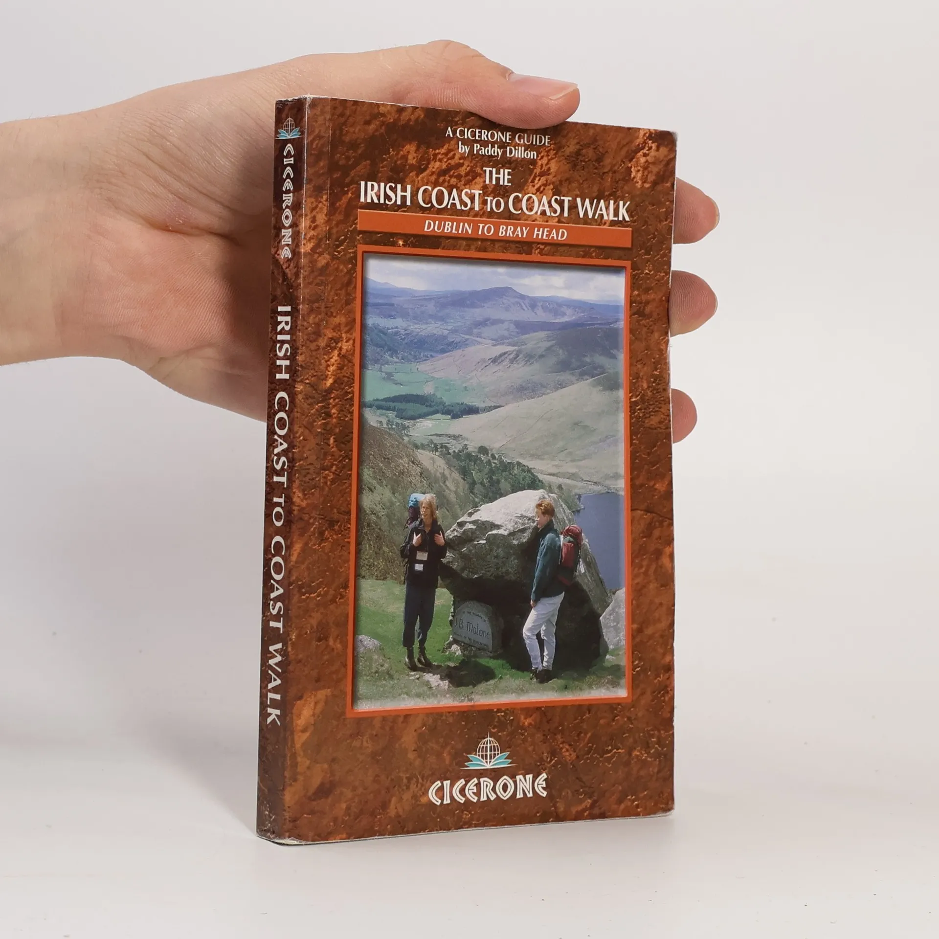
The guidebook describes walking the 370 mile waymarked route through Ireland from Dublin in the east to Bray Head in the southwest on the Atlantic coast. Created by linking the Wicklow Way, South Leinster Way, Munster Way, Avondhy Way and the Kerry Way. An opportunity to discover the heart of the Emerald Isle.
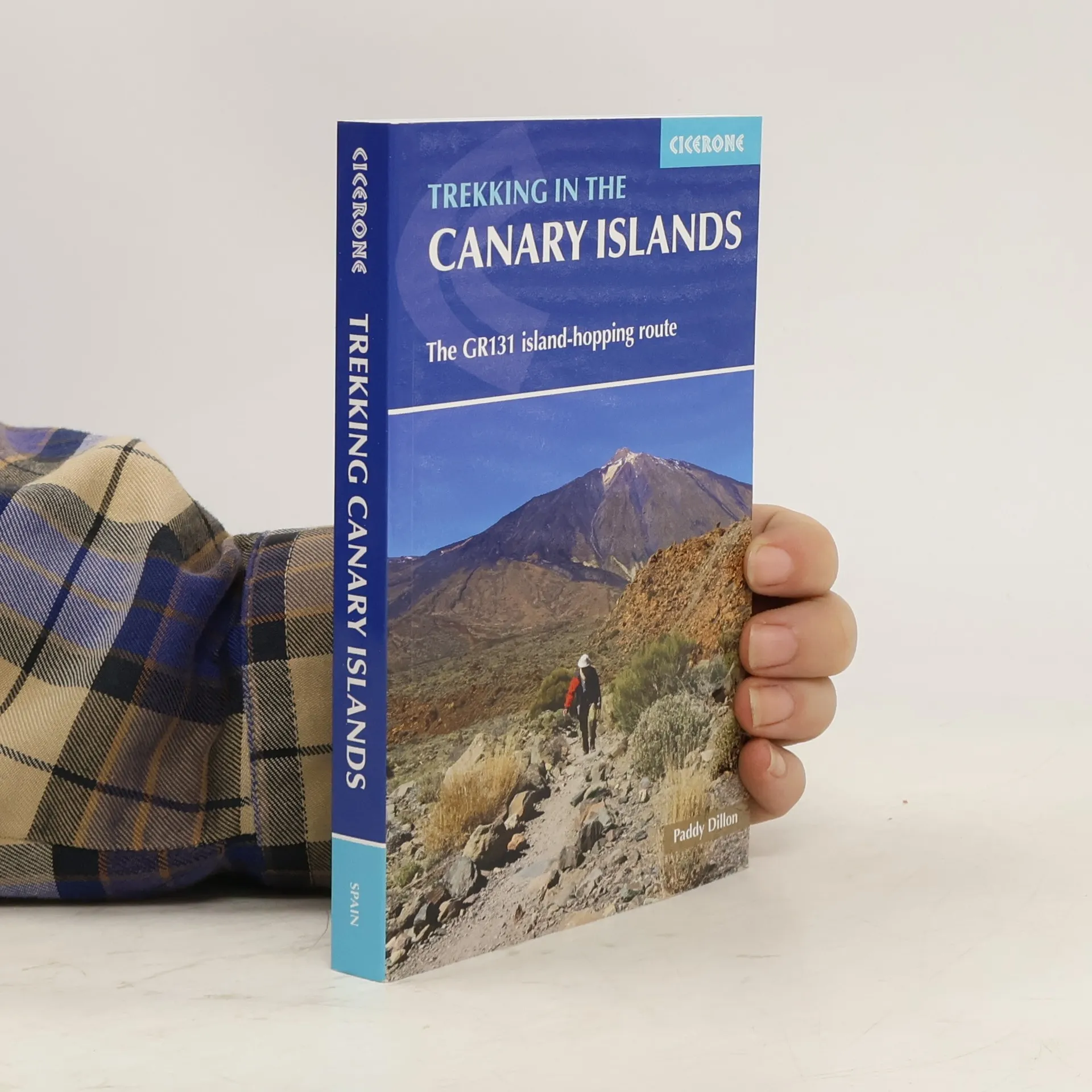
Trekking in the Canary Islands
- 272 Seiten
- 10 Lesestunden
This guidebook provides a comprehensive and detailed description of the GR131, an island-hopping trail across the seven Canary Islands. The 560km (348 mile) route begins on Lanzarote and finishes on El Hierro and is presented in 32 daily stages. The route is well waymarked but some navigational skills are required, and the remote and occasional rocky sections need to be treated with care. Also included is an optional ascent of El Teide, the highest peak on Spanish territory at 3718m. The guide is split into seven parts, one for each island. Overview statistics, detailed navigational description and 1:50,000 mapping is provided for each stage and the guide also includes key information about transport to and between the Canary Islands and availability of accommodation and services. There is background information on the geology, history, plants and wildlife and notes on local points of interest. An appendix contains a helpful glossary. As a geologically young area, the Canaries boast rare wildlife across their dramatic volcanic terrain. The islands contain a number of national parks, and the landscape varies from semi-desert to forests and barren mountainsides. This month-long route is a great opportunity for walkers to fully immerse themselves in the diverse culture and scenery of the Canary Islands.
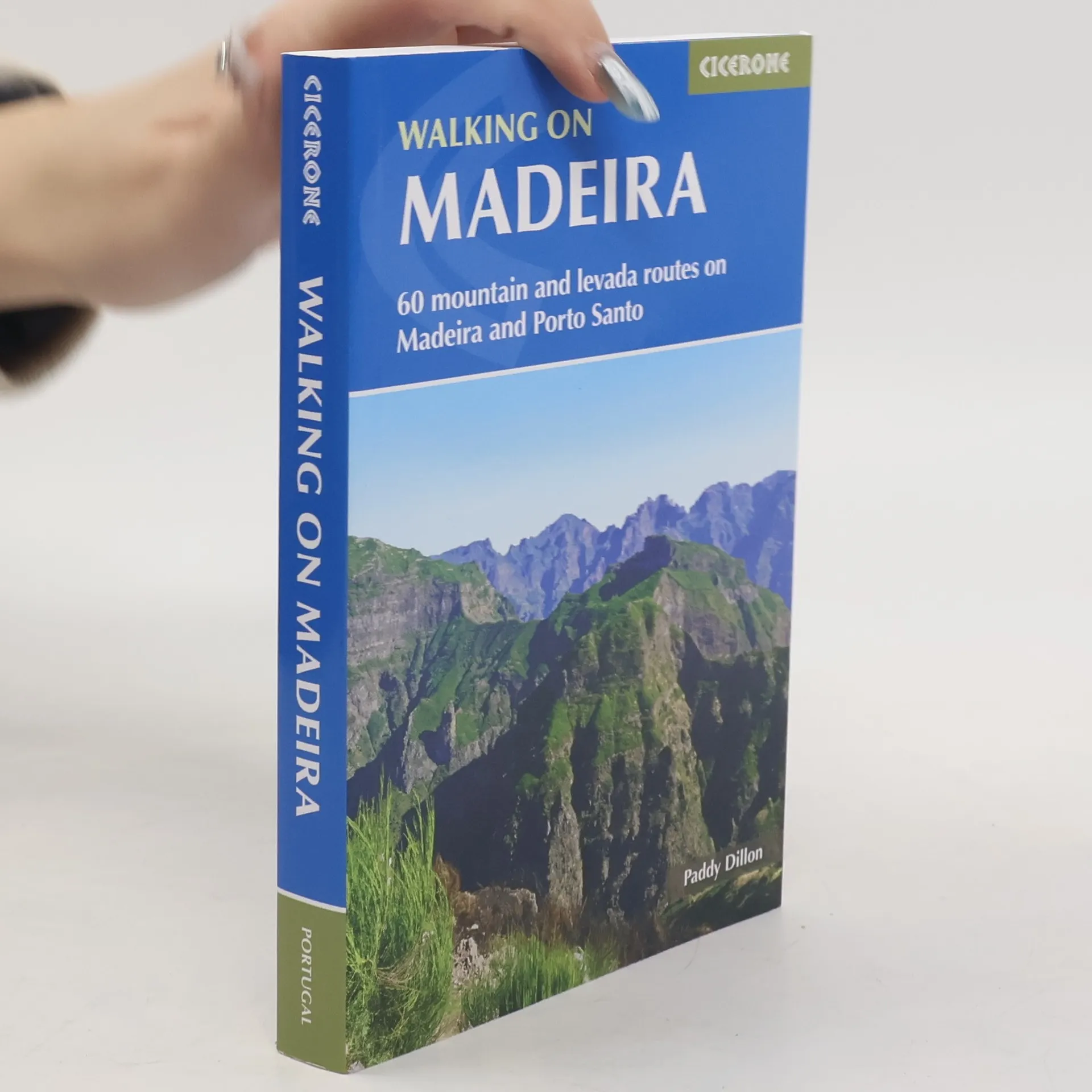
Walking on Madeira
- 320 Seiten
- 12 Lesestunden
Describes a varied selection of 57 day walks on the island of Madeira, exploring the dramatic cliff coastline, scenic levadas, dense laurisilva 'cloud' forests and high mountain peaks, plus three walks on neighbouring Porto Santo
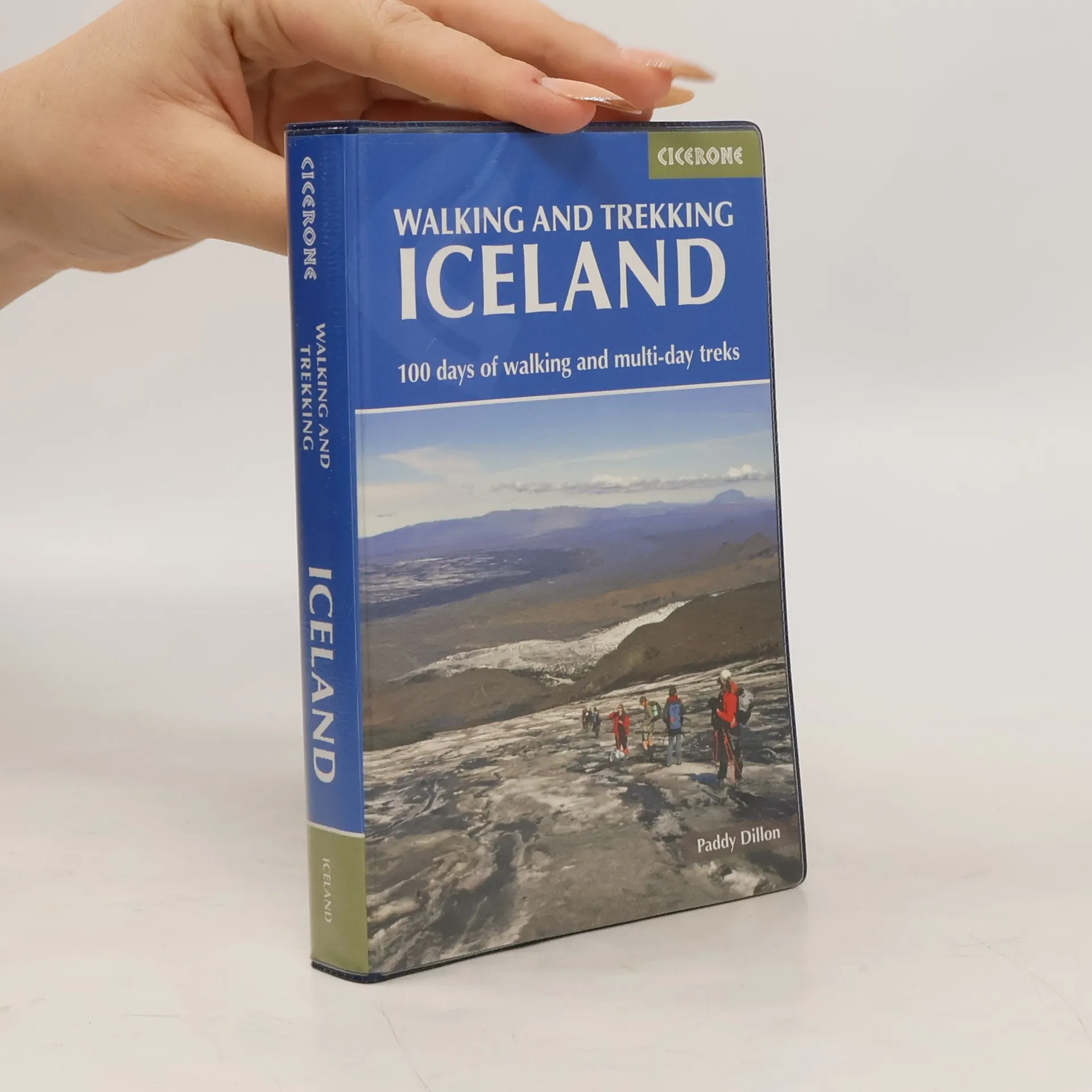
Walking and Trekking in Iceland
- 352 Seiten
- 13 Lesestunden
This guidebook to walking routes in Iceland offers 49 day walks and 10 multi- stage treks including the classic Laugavegur Trail. The total of 100 days of routes described cater for most abilities, from waymarked walks to challenging glacier crossings. Information on public transport, accommodation, facilities and budget travel tips also included.
Walking on the Azores
- 224 Seiten
- 8 Lesestunden
Guidebook to 70 walks on the Azores, a remote archipelago in the North Atlantic Ocean. Most of the walks are easy or moderate, with a few graded difficult. The selection is spread across all nine islands, offering much variety, from easy village-to-village walks to remote and mountainous walks, including Portugal's highest mountain, Pico.
Walking on Jersey
- 192 Seiten
- 7 Lesestunden
Guidebook describing 24 day walks on Jersey in the Channel Isles. Parts of many routes can be combined to make longer ones, including the 48 mile Jersey Coastal Walk and part of the Channel Islands Way. Walks are between 3 and 8 miles, mainly on good paths and tracks, although occasionally rugged cliff paths explore the beautiful coastline.
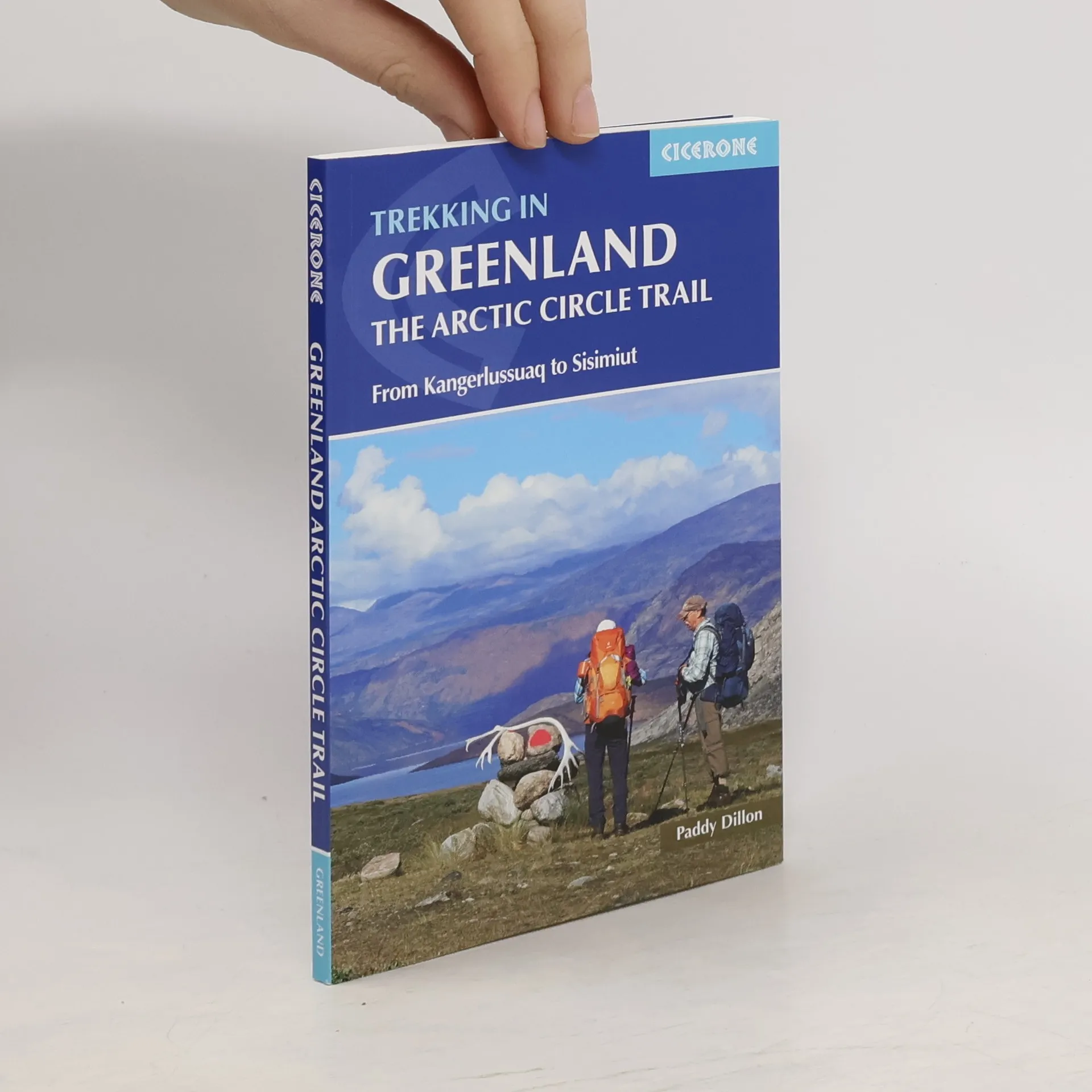
Trekking in Greenland : the Arctic Circle Trail : from Kangerlussuag to Sisimiut
- 128 Seiten
- 5 Lesestunden
An essential guidebook for hiking the Arctic Circle Trail. At just over 100 miles long, and taking 7 to 10 days to complete, the Arctic Circle Trail crosses the largest ice-free patch of West Greenland. This splendid backpacking route, lying 25-30 miles north of the Arctic Circle runs from Kangerlussuaq to Sisimiut - both with airport access.
The GR5 Trail
- 315 Seiten
- 12 Lesestunden
An essential guidebook for walking the GR5 trail, 660km from Lac Leman (Lake Geneva) to Nice or Menton, through the French Alps. Includes all the main variant routes as it passes Mont Blanc, then through the Vanoise, the Queyras and the Mercantour National Parks. Includes accommodation, profiles and maps. Suitable for fairly experienced hikers.
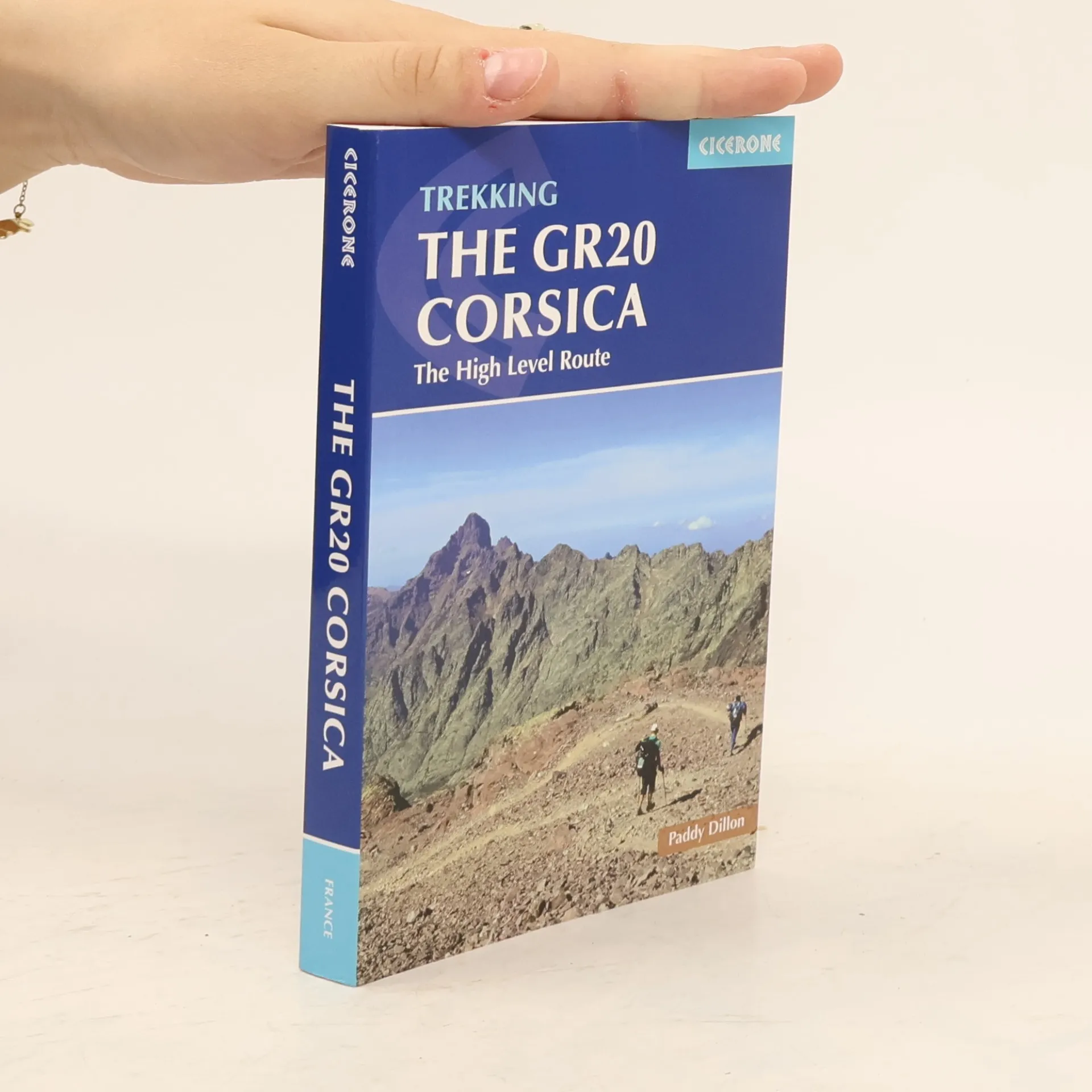
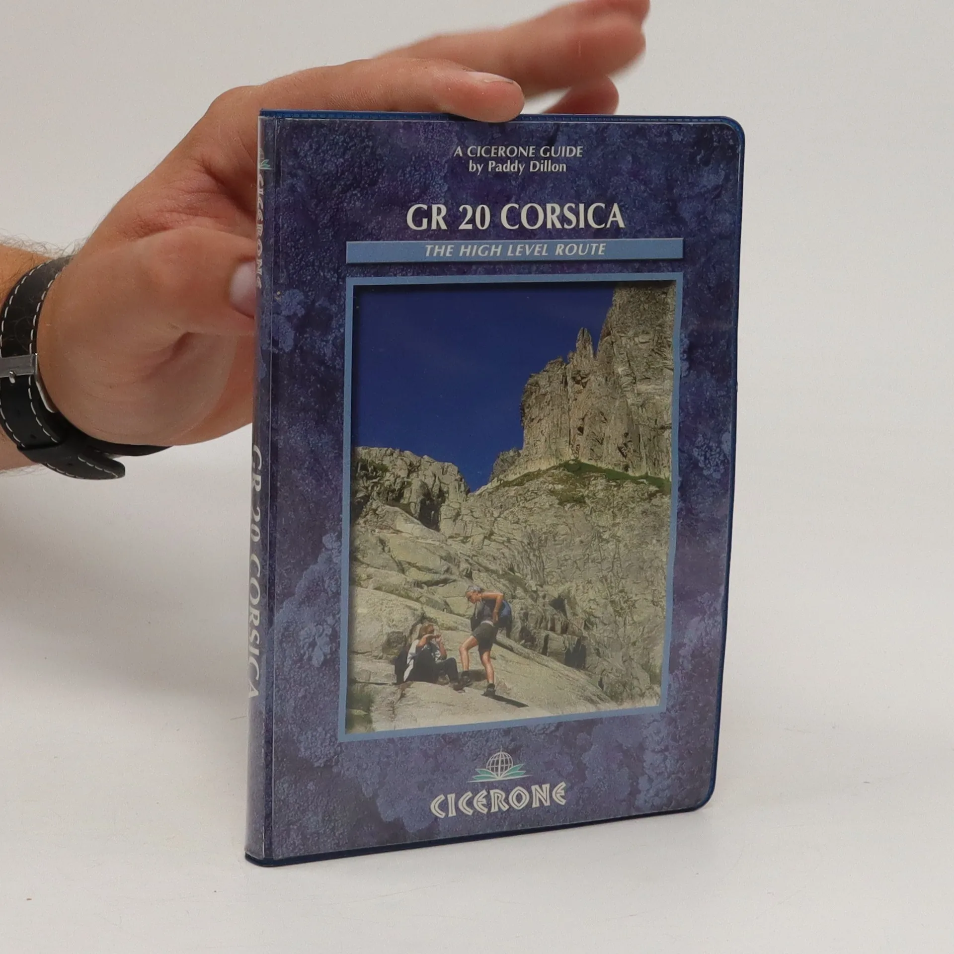
The GR20 Corsica
- 265 Seiten
- 10 Lesestunden
Guidebook to walking the GR20 through Corsica's high mountains. A challenging trail between Calenzana and Conca that includes hands-on scrambling, the 190km trek can be completed by fit walkers in about two weeks. The guidebook includes high and low-level alternatives, plus extra mountain climbs, and all you need to know for this tough route.
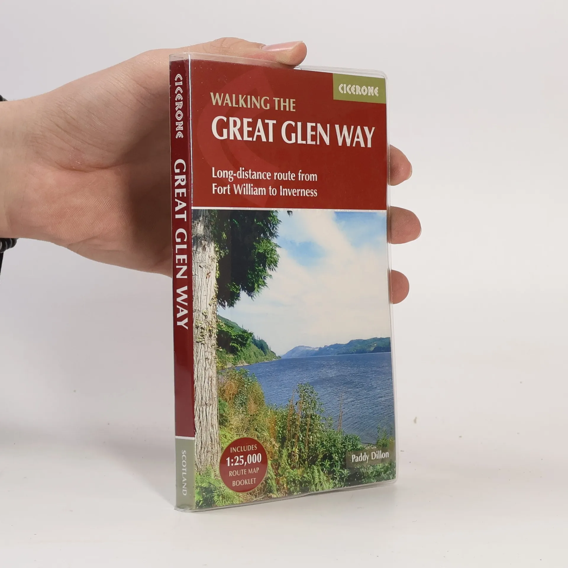
The Great Glen Way
Long-Distance Route from Fort William to Inverness - Includes 1:25,000 Route Map Booklet
- 188 Seiten
- 7 Lesestunden
Guidebook to walking the Great Glen Way, a 79 mile National Trail along the Caledonia Canal from Fort William to Inverness. Easily walked within a week in all seasons, the Great Glen Way is an ideal introduction to long-distance walking in Scotland. The route is described in both directions, and a separate OS 1:25K mapping booklet is included.
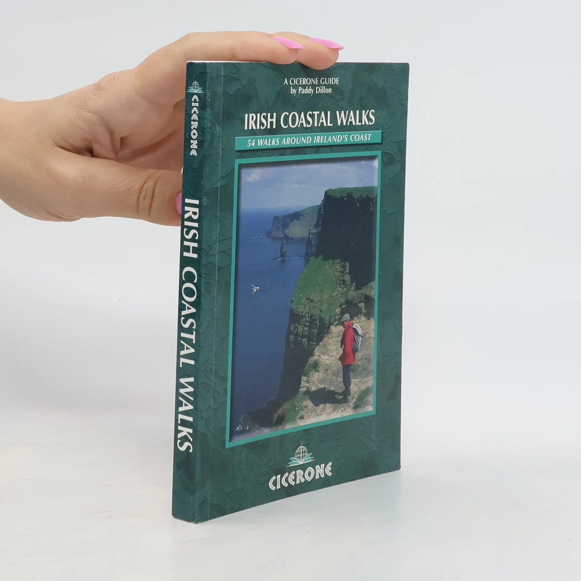
Irish Coastal Walks
- 192 Seiten
- 7 Lesestunden
This guidebook describes 50 coastal walks around Ireland, taking in broad beaches, towering cliffs, battered headlands and a score of islands.
Walking the Wicklow Way
- 120 Seiten
- 5 Lesestunden
A guide to walking Ireland's Wicklow Way, a 146km trail through the scenic Wicklow Mountains from Dublin to Clonegal, County Carlow. The waymarked route is presented in 7 stages, taking in rolling countryside, forest trails and wild mountain landscapes, as well as the historic monastic site of Glendalough. Optional variants are also included.
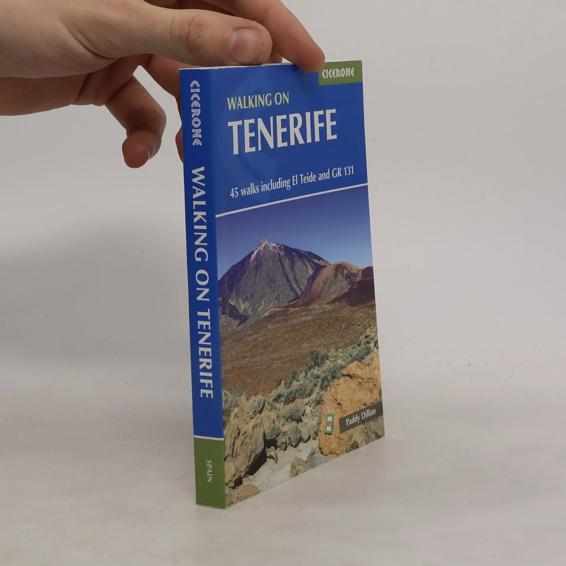
Guide to 45 varied walks on Tenerife: 40 day walks - including ascents of El Teide, Spain's highest mountain - and the 5 Tenerife stages of the long- distance GR131. Routes range from 3.5km to 29.5km and showcase the island's diverse landscapes, from coast to mountains, from lava fields to laurisilva 'cloud forests'.
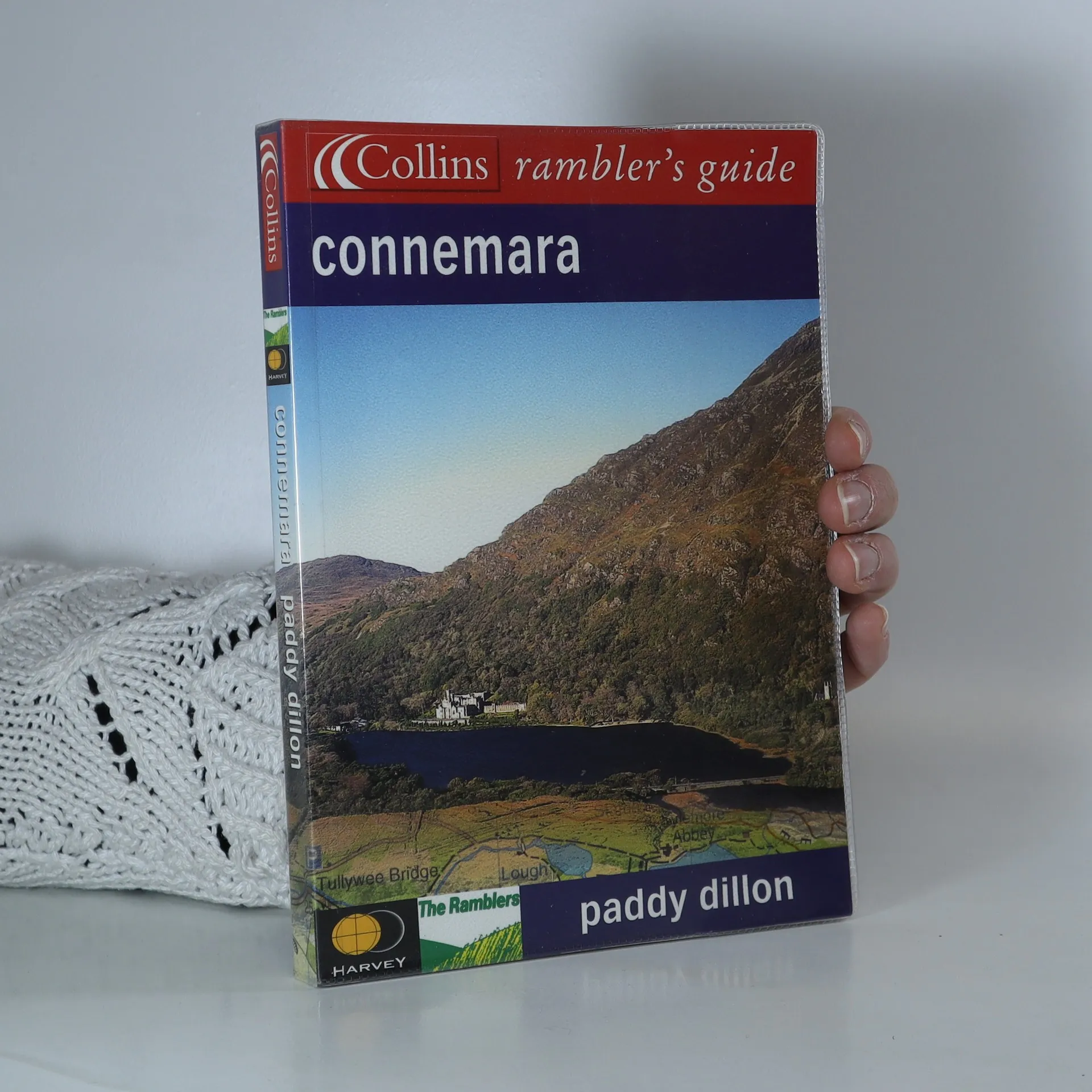
Produced in association with the Rambler's Association and Harvey's Maps, this new series explores popular walking areas in Britain and Ireland, featuring detailed route descriptions alongside local history and wildlife insights. Connemara, located in western Ireland, is characterized by the striking Twelve Bens and Maum Turk mountain ranges, interspersed with loughs and the Atlantic coastline, creating a landscape that is both barren and breathtaking. The introduction covers the area's topography, geology, and history, as well as its diverse flora and fauna. The main section presents 30 walks suitable for all abilities, from children to seasoned hikers. Each walk includes a key highlighting key features like difficulty level and terrain type, along with a route profile showing altitude and distances. A fact file provides essential information such as start and finish points, duration, safety advice, and points of interest. Illustrated with color maps from Harveys, each walk is described in detail with clear instructions. In addition to route guidance, the text includes historical context for significant landmarks and information on the area's natural history, complemented by stunning color photographs.
The Mournes Walks
- 160 Seiten
- 6 Lesestunden
Where the mountains of Mourne sweep down to the sea, they rise in huge heathery humps, surrounded by farmlands divided into tiny, stone-walled fields. Explore the Mournes in the company of walking expert Paddy Dillon, taking in rugged coast, high mountains and forest parks. Follow the mighty Mourne Wall on its meanderings and visit the quiet corners where the history, heritage, wildlife and stillness of the area can be enjoyed. THE WALKS Covers all parts of the Mournes: the High and Low Mournes as well as the Kingdom of Mourne, the Silent Valley circuit, the Mourne Coastal Path, the old smuggling route of the Brandy Pad Warrenpoint and Rostrevor. Also explore the complete Mounre Wall circuit, the Mourne Trail section of the Ulster Way (in four parts from Newry to Clough), Tollymore and Castlewellan Forest Parks, as well as lesser-known outlying trails such as the Castlwellan Loanans.
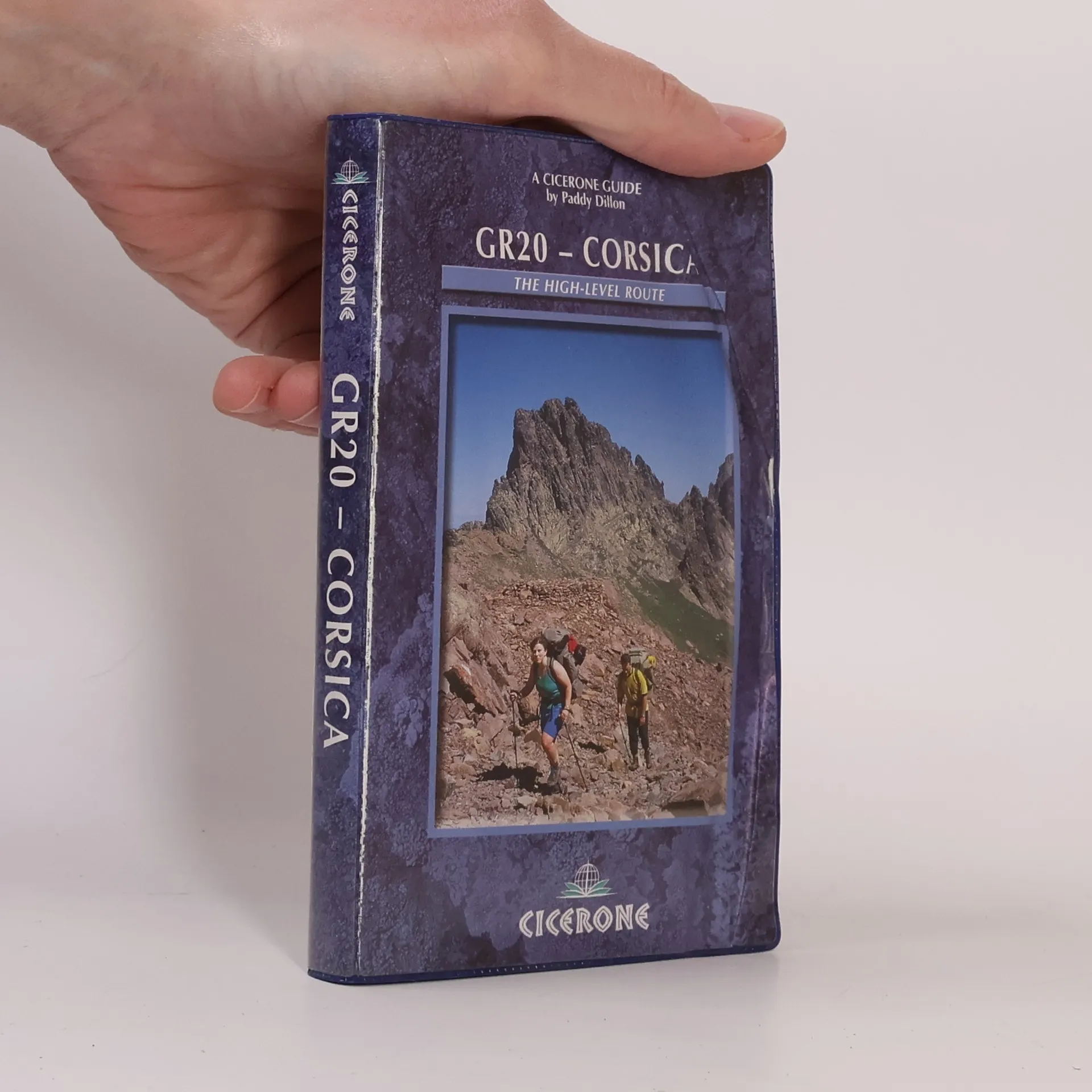
Guidebook to walking Corsica's GR20, known as the toughest GR route in Europe. It makes a complete traverse through the high mountains, sometimes with hands-on scrambling. Covering 190km, the GR20 can be completed by fit walkers in about two weeks. The guide includes high- and low-level alternatives, plus extra mountain climbs.