
This book features 24 unique and captivating maps and views of London, spanning from the 12th century to the present. It includes some of the earliest known maps, topographical representations, views of iconic locations and monuments, transit maps, and various other types of maps. The images have been meticulously selected by photographic historian George Sinclair, who explored numerous historical collections across Europe to uncover a diverse array of unique and visually intriguing images. Each map or view includes original printing information and is accompanied by brief text that contextualizes the image historically and highlights its significance. Sinclair also offers a thoughtful introduction to the collection. The images are printed on high-quality matte paper and are beautifully reproduced, making them suitable for display in homes, offices, libraries, dorm rooms, or classrooms.
George Sinclair Bücher
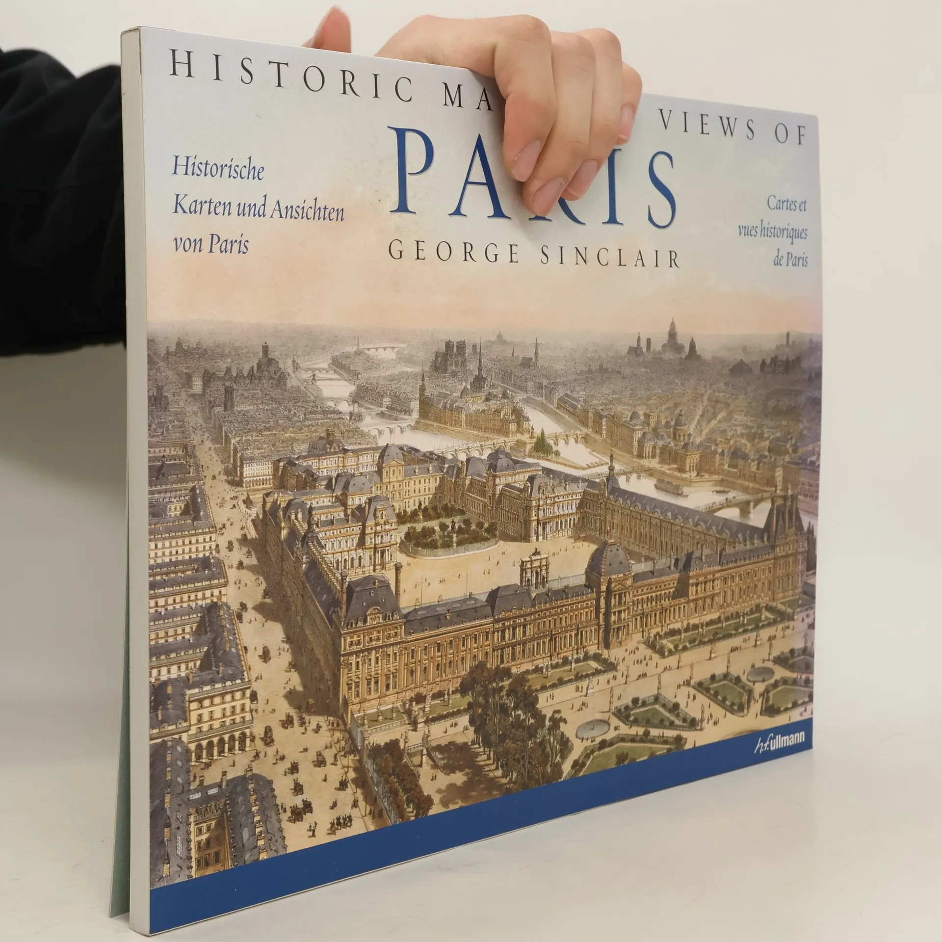
Historic Maps and Views of Paris
- 56 Seiten
- 2 Lesestunden
Diese faszinierende und wunderschöne Sammlung enthält eine Ansicht von Versailles aus dem jahr 1668, einen detaillierten Plan der île de la Cité, einen Métro-Plan von 1920, Paris mit dem Eiffelturm während der Weltausstellung von 1889 aus der Vogelperspektive, beeindruckende Ansichten von Pariser Wahrzeichen (darunter der Louvre, der Arc de Triomphe sowie Notre-Dam und Sacré-Coeur) und viele weitere mehr. Die Bildbeschreibungen liefern Angaben zum Druck sowie weitere historisch wichtige Daten und Fakten sowie ausführliche Erläuterungen zu den Karten. Alle Karten in vorzüglicher drucktechnischer Wiedergabe, brillanten Farben und Details. Format passend zum Einrahmen in handelsübliche Bilderrahmen!