
Ausverkauft
Mehr zum Buch
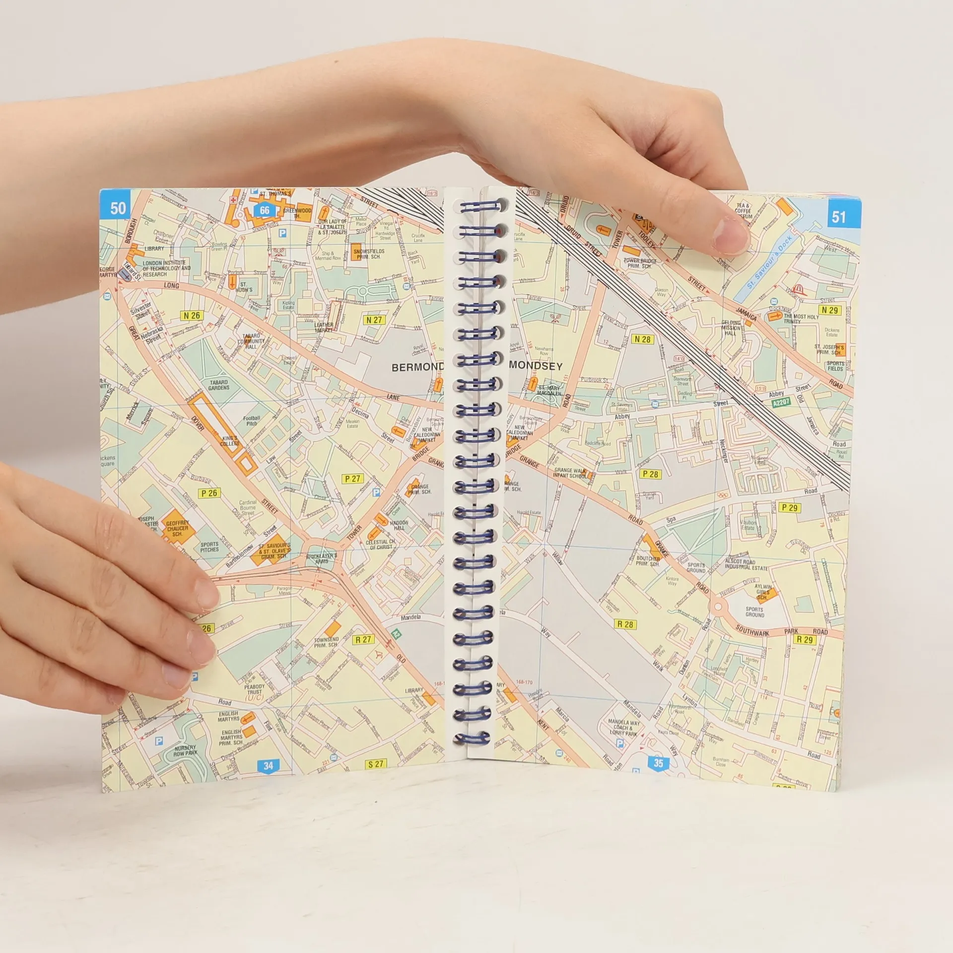
Spiral format street plan with index. Includes practical information, one way streets, car parks, taxi ranks, public transport, public buildings and post offices. 1/10000 - 1cm = 100m.
Buchkauf
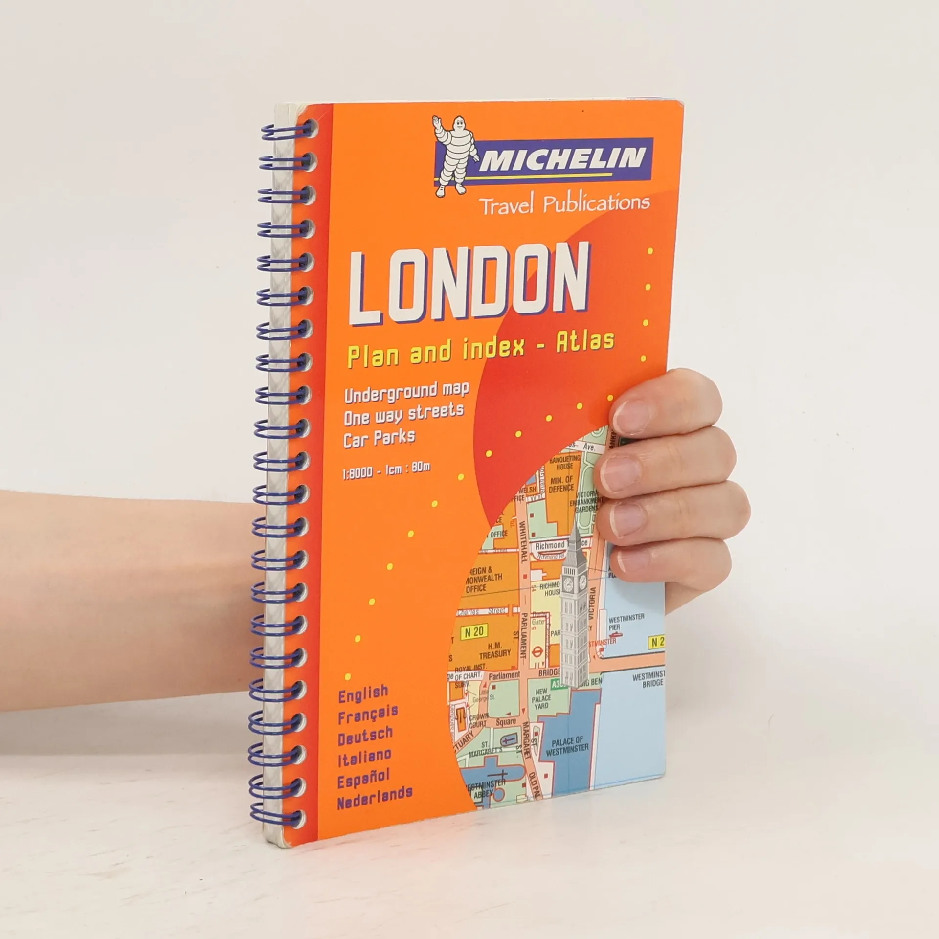
London Plan and Index-atlas, Autorenkollektiv
- Sprache


- Erscheinungsdatum
- 2000
- product-detail.submit-box.info.binding
- (Leporellobindung)
Wir benachrichtigen dich per E-Mail.
Hier könnte deine Bewertung stehen.
- Titel
- London Plan and Index-atlas
- Sprache
- Englisch, Deutsch, Französisch, Spanisch, Italienisch, Niederländisch
- Autor*innen
- Autorenkollektiv
- Verlag
- Michelin
- Erscheinungsdatum
- 2000
- Einband
- Leporellobindung
- Seitenzahl
- 164
- ISBN10
- 2060020344
- ISBN13
- 9782060020341
- Reihe
- Schlagwörter
- Kinderbücher, Pappbilderbücher, Großbritannien, London
- Bewertung
- 4 von 5 Sternen
- Beschreibung
- Spiral format street plan with index. Includes practical information, one way streets, car parks, taxi ranks, public transport, public buildings and post offices. 1/10000 - 1cm = 100m.