
Ausverkauft, aber heiß begehrt!
Mehr zum Buch
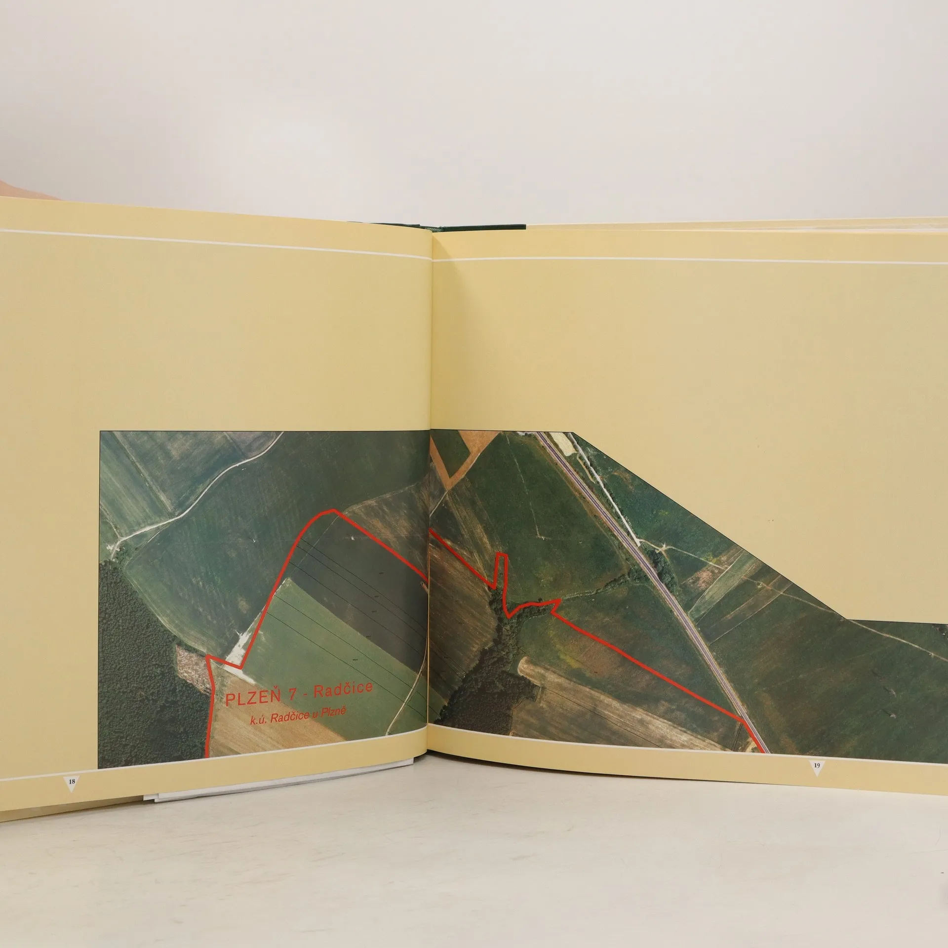
Atlas obsahuje barevné ortofotomapy města Plzně s dotiskem parcel katastru nemovitostí, správní hranice města a jeho částí a místní názvy řek, ulic apod. Je zde mimo jiné popsána historie leteckého snímkování města Plzně.
Buchkauf
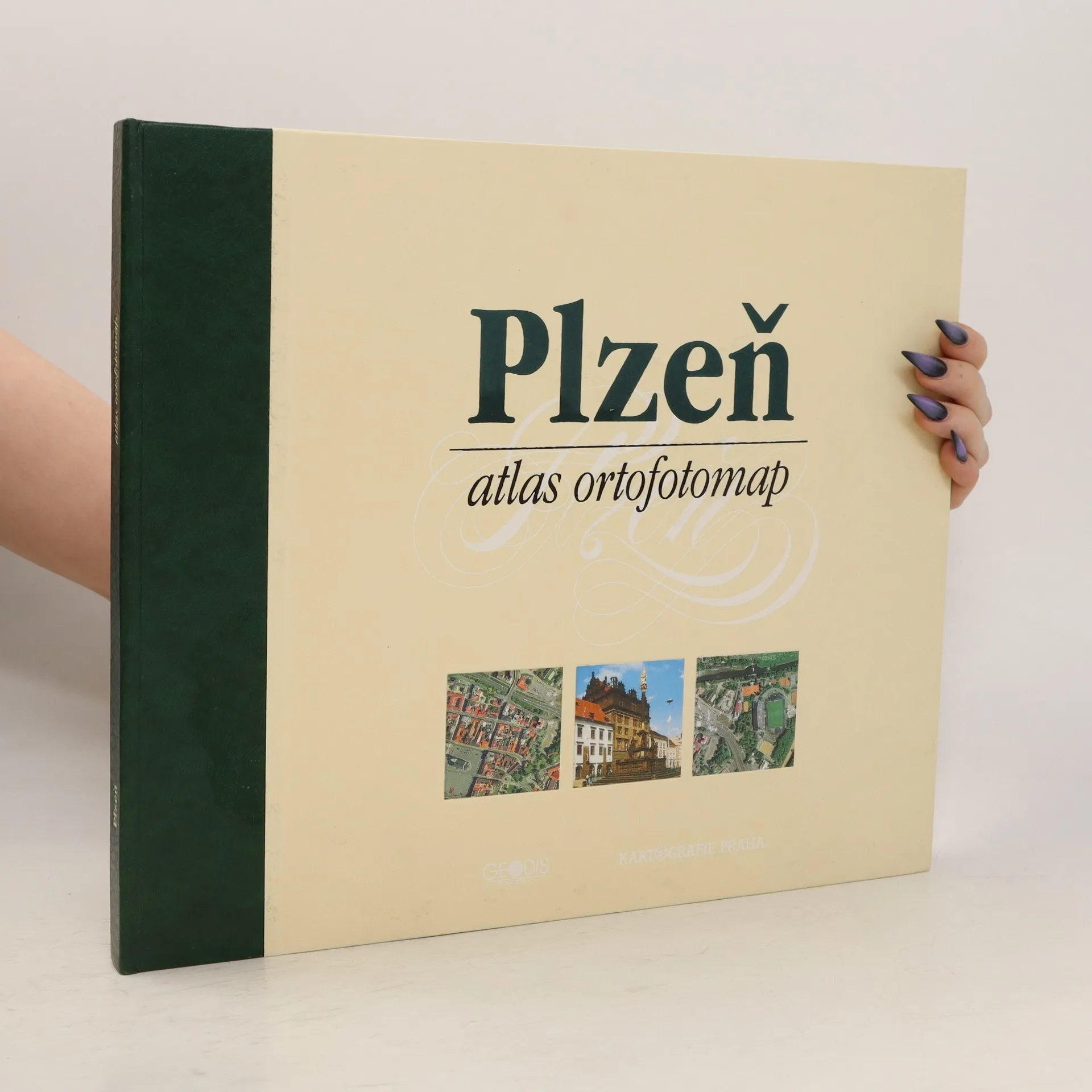
Plzeň atlas ortofotomap, Petr Hruška, Jiří Kanis
- Sprache

- Erscheinungsdatum
- 1998
- product-detail.submit-box.info.binding
- (Hardcover)
Wir benachrichtigen dich per E-Mail.
Keiner hat bisher bewertet.
- Titel
- Plzeň atlas ortofotomap
- Sprache
- Tschechisch
- Autor*innen
- Petr Hruška, Jiří Kanis
- Verlag
- Kartografie
- Erscheinungsdatum
- 1998
- Einband
- Hardcover
- Seitenzahl
- 129
- ISBN10
- 8070115661
- ISBN13
- 9788070115664
- Reihe
- Schlagwörter
- Sachbücher, Karten & Reisen, Karten & Atlanten
- Beschreibung
- Atlas obsahuje barevné ortofotomapy města Plzně s dotiskem parcel katastru nemovitostí, správní hranice města a jeho částí a místní názvy řek, ulic apod. Je zde mimo jiné popsána historie leteckého snímkování města Plzně.