
Wir senden dir das abgebildete Buch

Parameter
Mehr zum Buch
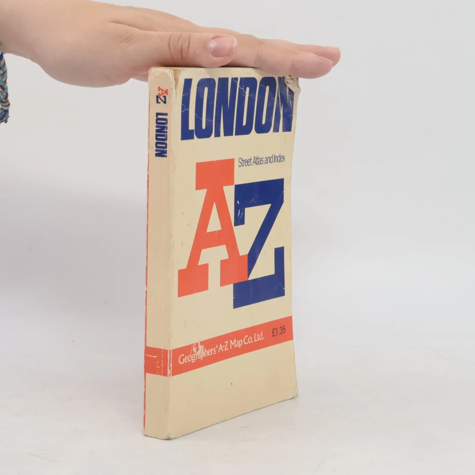
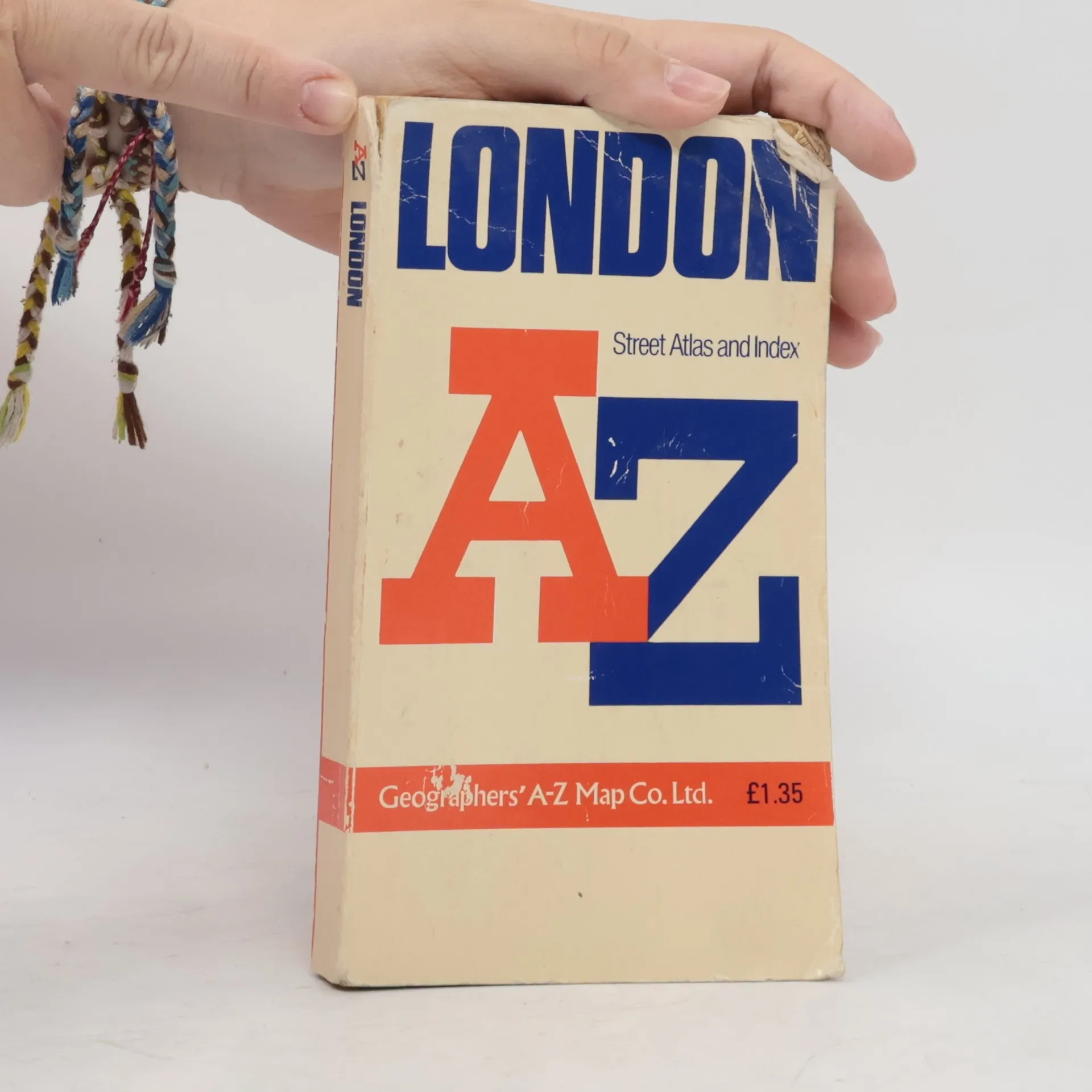
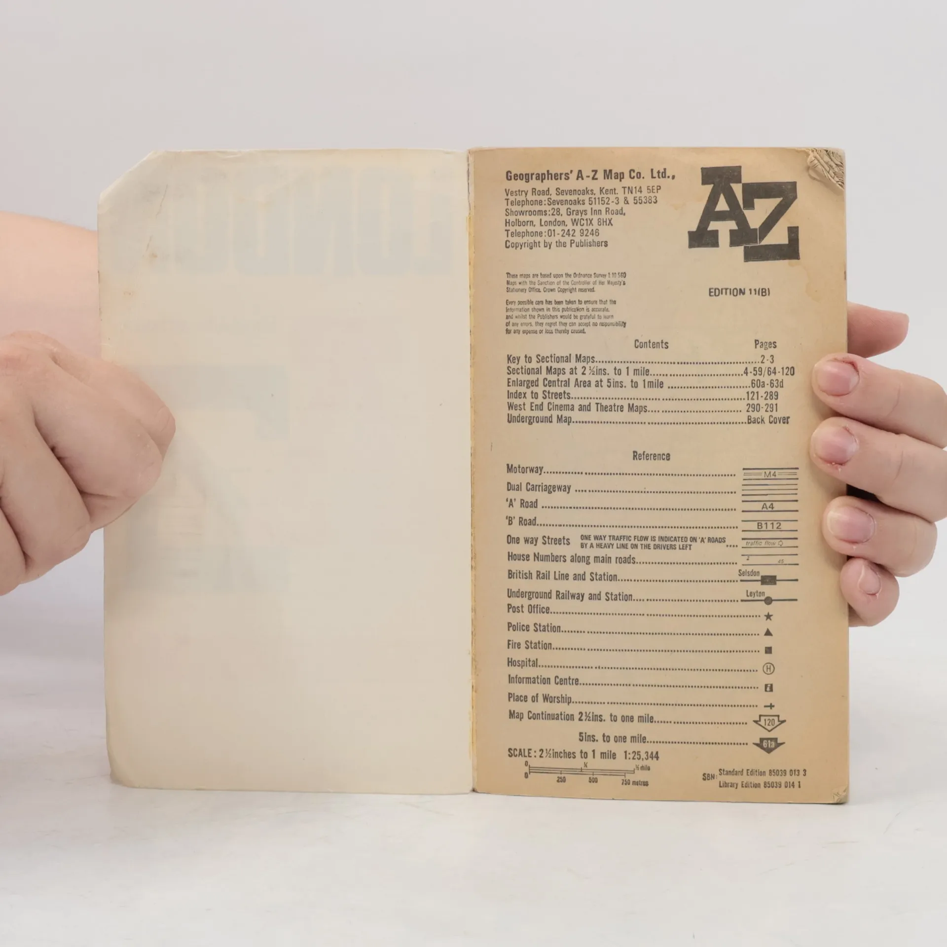
Contains street maps at scale 3" to 1 mile, 11 pages of 4.5" to 1 mile maps covering the congested central area, an Underground map and West End cinema and theatre maps. Coverage extends to Stanmore, Barnet, Enfield, Woodford, Dagenham, Woolwich, Bromley, Croydon, Surbiton, Southall and Harrow.


Von AZ London Street Atlas (1990) sind aktuell auf Lager verfügbar.
Buchkauf
AZ London Street Atlas, Autorenkollektiv
- Sprache

- Erscheinungsdatum
- 1990
- product-detail.submit-box.info.binding
- (Paperback),
- Buchzustand
- Beschädigt
- Preis
- € 0,21
Hier könnte deine Bewertung stehen.
- Untertitel
- Street Atlas Index
- Sprache
- Englisch
- Autor*innen
- Autorenkollektiv
- Erscheinungsdatum
- 1990
- Einband
- Paperback
- ISBN10
- 0850390133
- ISBN13
- 9780850390131
- Reihe
- Schlagwörter
- Sachbücher, Karten & Reisen, Reisen
- Bewertung
- 4,45 von 5 Sternen
- Beschreibung
- Contains street maps at scale 3" to 1 mile, 11 pages of 4.5" to 1 mile maps covering the congested central area, an Underground map and West End cinema and theatre maps. Coverage extends to Stanmore, Barnet, Enfield, Woodford, Dagenham, Woolwich, Bromley, Croydon, Surbiton, Southall and Harrow.