
Ausverkauft, aber heiß begehrt!
Buchbewertung
Parameter
- 160 Seiten
- 6 Lesestunden
Mehr zum Buch
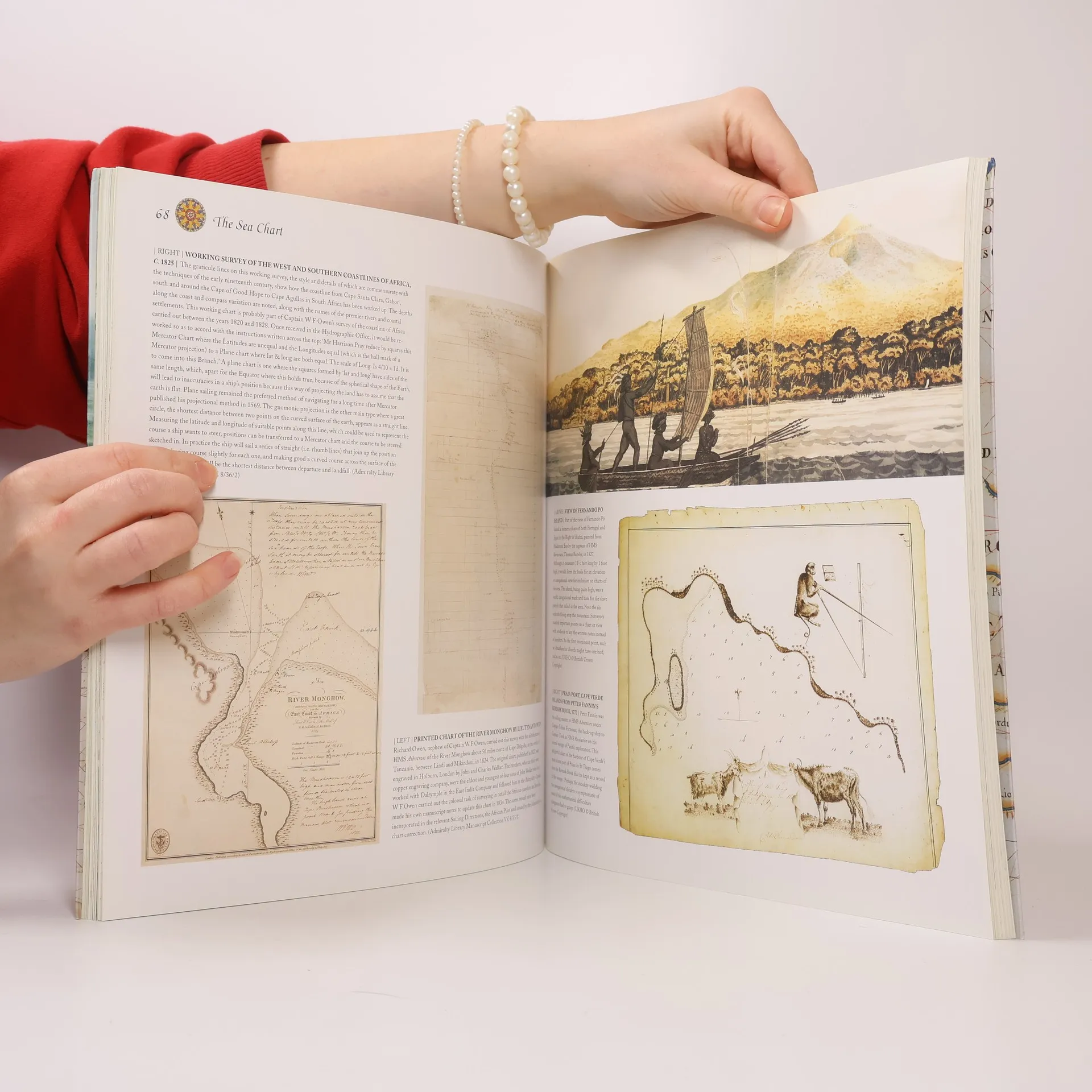
This volume looks at the history and development of the chart and the related nautical map, in both scientific and aesthetic terms, as a means of safe and accurate seaborne navigation. Key figures or milestones in the history of charting are presented in stand-alone story box features.
Buchkauf
The Sea Chart, John Blake, HRH The Duke of York
- Sprache

- Erscheinungsdatum
- 2009
- product-detail.submit-box.info.binding
- (Paperback)
Wir benachrichtigen dich per E-Mail.
Hier könnte deine Bewertung stehen.
- Titel
- The Sea Chart
- Untertitel
- The Illustrated History of Nautical Maps and Navigational Charts
- Sprache
- Englisch
- Autor*innen
- John Blake, HRH The Duke of York
- Verlag
- Conway Maritime Press
- Erscheinungsdatum
- 2009
- Einband
- Paperback
- Seitenzahl
- 160
- ISBN10
- 1844860639
- ISBN13
- 9781844860630
- Reihe
- Schlagwörter
- Sachbücher, Historisches Thema, Karten & Reisen, Technologie & Industrie, Geografie & Landeskunde, Handbücher und Anleitungen, Wissenschaft, Autos & Verkehr, Schiffe, Seefahrt, Kartografie, Historische Geografie, Navigation
- Bewertung
- 4,65 von 5 Sternen
- Beschreibung
- This volume looks at the history and development of the chart and the related nautical map, in both scientific and aesthetic terms, as a means of safe and accurate seaborne navigation. Key figures or milestones in the history of charting are presented in stand-alone story box features.