
Ausverkauft
Parameter
- 200 Seiten
- 7 Lesestunden
Mehr zum Buch
Geographic data models are digital frameworks that describe the location and characteristics of things in the world around us. With a geographic information system, we can use these models as lenses to see, interpret, and analyze the infinite complexity of our natural and man-made environments. With the geodatabase, a new geographic data model introduced with ArcInfo 8, you can extend significantly the level of detail and range of accuracy with which you can model geographic reality in a database environment.
Buchkauf
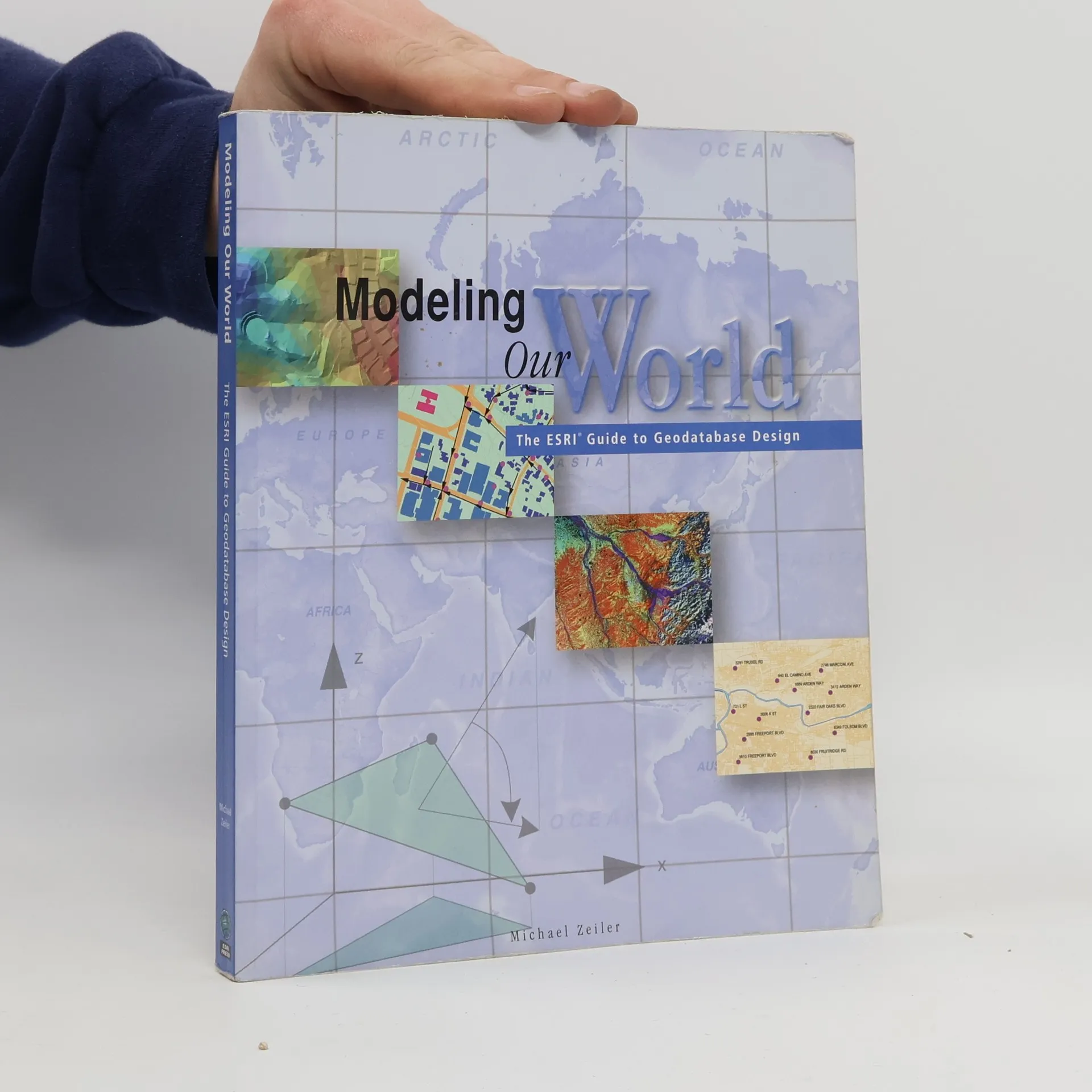
Modeling Our World, Michael Zeiler
- Sprache

- Erscheinungsdatum
- 1999
- product-detail.submit-box.info.binding
- (Paperback)
Wir benachrichtigen dich per E-Mail.
Hier könnte deine Bewertung stehen.
- Titel
- Modeling Our World
- Untertitel
- The ESRI Guide to Geodatabase Design
- Sprache
- Englisch
- Autor*innen
- Michael Zeiler
- Verlag
- Esri Press
- Erscheinungsdatum
- 1999
- Einband
- Paperback
- Seitenzahl
- 200
- ISBN10
- 1879102625
- ISBN13
- 9781879102620
- Reihe
- Schlagwörter
- Sachbücher, Karten & Reisen, Technologie & Industrie, Geografie & Landeskunde, Computer & Internet, Wissenschaft, Technologie
- Bewertung
- 3,65 von 5 Sternen
- Beschreibung
- Geographic data models are digital frameworks that describe the location and characteristics of things in the world around us. With a geographic information system, we can use these models as lenses to see, interpret, and analyze the infinite complexity of our natural and man-made environments. With the geodatabase, a new geographic data model introduced with ArcInfo 8, you can extend significantly the level of detail and range of accuracy with which you can model geographic reality in a database environment.