
Mehr zum Buch
Featuring trusted Hema mapping for all of Australia, the Hema Road & 4WD Handy Atlas is the definitive travel guide for tourers and adventurers. Hema atlases feature more information useful to travellers, including 4WD tracks, campsites, caravan parks, rest areas, 24-hour fuel and points of interest. The new edition contains more mapping than ever before, which is enhanced by a striking new cartographic style that¿s incredibly easy to read. Included in this is up-to-date mapping for Australia¿s biggest 4WD destinations: Cape York, Fraser Island, the Top End, the Kimberley, the Pilbara, Central Australia, High Country Victoria and the Flinders Ranges. A handy distance grid, national park guide, list of accredited information centres and a complete index are also included to assist with trip planning and navigation, making it the perfect tool for guiding tourers, campers, road trippers and off-roaders throughout Australia.
Buchkauf
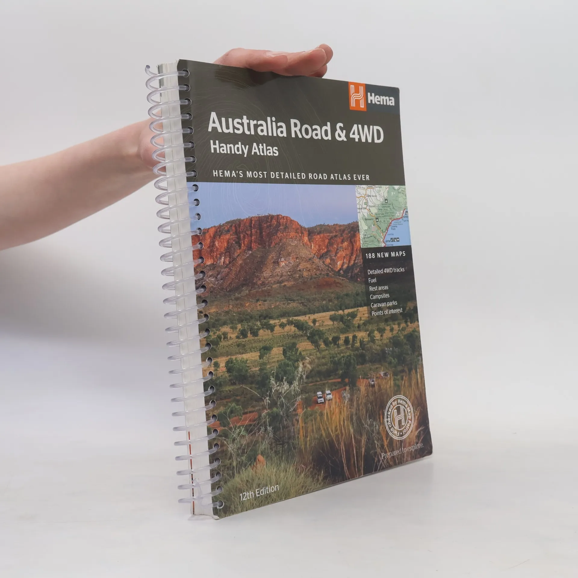
Australia Road and 4WD Handy Atlas - 12th Edition, Hema Maps Australia Staff
- Sprache

- Erscheinungsdatum
- 2017
- product-detail.submit-box.info.binding
- (Spiralbindung)
Hier könnte deine Bewertung stehen.
- Titel
- Australia Road and 4WD Handy Atlas - 12th Edition
- Sprache
- Englisch
- Autor*innen
- Hema Maps Australia Staff
- Verlag
- Hema
- Erscheinungsdatum
- 2017
- Einband
- Spiralbindung
- Seitenzahl
- 224
- ISBN10
- 1876413751
- ISBN13
- 9781876413750
- Reihe
- Schlagwörter
- Sachbücher, Karten & Reisen, Natur, Reisen, Abenteuer, Geografie & Landeskunde, Australien
- Bewertung
- 4,35 von 5 Sternen
- Beschreibung
- Featuring trusted Hema mapping for all of Australia, the Hema Road & 4WD Handy Atlas is the definitive travel guide for tourers and adventurers. Hema atlases feature more information useful to travellers, including 4WD tracks, campsites, caravan parks, rest areas, 24-hour fuel and points of interest. The new edition contains more mapping than ever before, which is enhanced by a striking new cartographic style that¿s incredibly easy to read. Included in this is up-to-date mapping for Australia¿s biggest 4WD destinations: Cape York, Fraser Island, the Top End, the Kimberley, the Pilbara, Central Australia, High Country Victoria and the Flinders Ranges. A handy distance grid, national park guide, list of accredited information centres and a complete index are also included to assist with trip planning and navigation, making it the perfect tool for guiding tourers, campers, road trippers and off-roaders throughout Australia.